-
Who's Online 16 Members, 1 Anonymous, 2720 Guests (See full list)
-
Activity Stream
-
410
-
410
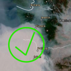
June 2026 PNW Weather
This 500 mb pattern is easily an upper 90 temp profile.- 2
-

-

-
410
June 2026 PNW Weather
69/52 today looking forward to some rain tomorrow and over the next couple days. Unfortunately the system early next week doesn’t look too impressive kind of weak and splitty. -
45
June 2026 Observations and Discussion.
I had a quick monsoonal like thunderstorm this afternoon that dropped .20 inches. More rain in the forecast through Tuesday. -
410
June 2026 PNW Weather
Extreme surface details are usually underestimated on the AIFS, it has a similar issue to ensembles in which the values are smoothed (but for different reason). For an AI model, it is due to the mean squared error loss (which punishes extremes in machine learning statistical models) used in training, as well as regularization methods applied in machine learning. Based on how the 500mb level pattern looks, it would definitely be hotter and a physics model (ECMWF) would more reliably pick up the truth (if it had the same ridge output). I'm still not yet sure if the released ECMWF AIFS model is using their new hybrid techniques (incorporating traditional physical model output and human forecasts), but this run sure doesn't look like it when it comes to the surface temperature map.- 1
-
-