
Leaderboard


Popular Content
Showing content with the highest reputation on 02/26/15 in all areas
-
Tonight's little system has ended up being pretty juicy around here. Moderate steady rain since about 6pm. Looks like most places on Vancouver island will end up with 0.5 - 1" of rain or so. Its been snowing some up in the mountains too. http://mountwashington.ca/images/webcams/hawk/big4.jpg2 points
-
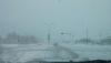
Clipper wasn't too fantastic is southern lake county but the LES has made up for that. Maybe an inch of snow last night from the clipper, close to four now and still snowing. When I was out snow blowing this morning a few heavy bands moved through and flakes size increased and visibility decreased. Amazing how LES works.2 points
-
In a way I'm glad this winter never redeemed itself. Its good to have a total stinker. We were due for some torching. We hadn't had a real torch winter month in about 5 years. We were due. We have this out of our system now....1 point
-
GFS right now putting some spots in Iowa with close to 1/2 inch of FZRA, along with a tenth or two of sleet. These storms, to me at least, are much more interesting to see and learn from, and experience. Going to cause problems, but from a meteorological view, going to be awesome to see how it unfolds...especially if the latest GFS and prior Canadian hold true1 point
-
This is going to be a big ice storm for someone on here. Just hoping it's not here in DSM...but it's going to be nasty somewhere near here.1 point
-
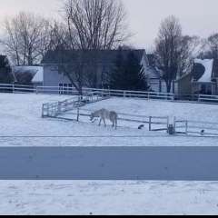
In Bend and there's a WWA for 2-4 inches of snow. Hopefully I'll be living here in 2 weeks. Looks like Bachelor may pick up a decent amount.1 point
-
264338327950288 I actually have pi memorized to 36 digits. It's like reciting the alphabet to me. Helped me get a job offer once, so it has come in handy if only one time.1 point
-
4.4" of snow total from this event. One of the latest LES events I can remember. I hear ya Tom! A place in the mountains, but with entertainment nearby is something I have thought about too.1 point
-
ORD officially stands at 26.4" of snow for February making it the Top 3 Snowiest on record. The month will come close to being the coldest February on record. Pretty impressive month.1 point
-
Finished off with a little over 8" on top of the 5" base from before. Some settling has begun and my current snow depth is 12". Looks great out there but the late Feb sun already doing its work on the snow near dark surfaces. This is a LES event I will remember for a while.1 point
-
that would be the perfect winter climate for me. Loads of snow while still averaging of 32 farenheit every month1 point
-
Cryptic??? First week of March, yes, pull back out of the extreme cold is inevitable after Week 1 it looks like. Overall, this month will be below normal, possibly much below normal in our region. Maybe not in the Plains where they will probably warm quite dramatically as the "warm" phase of the LRC kicks in. Can't be that cold forever. The latest JMA Weeklies agreeing with a generally cold Week 1 and then a pull back from the extreme cold Week 2. You can see that it still is trying to show below normal temps from the Great Lakes and points north and east. JMA Week 3 & 4 still showing a -EPO signature and below normal temps from the northern Plains/Midwest/Great Lakes. For a model to see it cold this far out, it could trend colder as we get closer.1 point
-
1 point
-
LOT has hoisted a Lake Effect Snow Warning for lakeside areas until 6pm.1 point
-
Only this winter would we get missed to the south and then have a low cut up to Minnesota 2 days later.1 point
-
Looks like the PNA will be going deeper than it has all fall and winter so far... http://www.cpc.ncep.noaa.gov/products/precip/CWlink/pna/pna.sprd2.gif1 point
-
Went to bed around 3:30am and my total was 7.0". Just measureda fresh 1.1" where I cleared the deck before I hit the sack bringing my total to 8.1" and its still snowing! Hands down the best LES event I have witnessed in my area.1 point
-
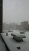
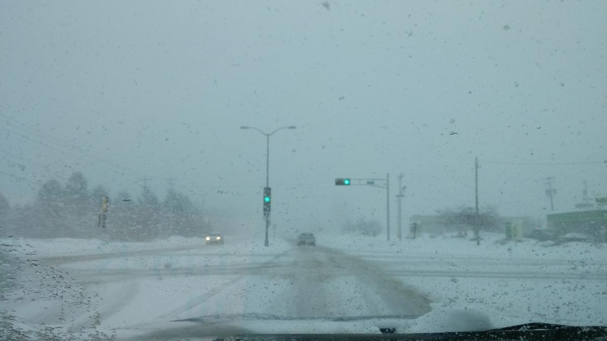
From about 8:15 am, Somers, WI. East Racine. East Racine.
 1 point
 -
After having a 9" snowstorm on MAY 2, 2013 nothing surprises me anymore. I'm still hoping for a backloaded Winter.1 point


This leaderboard is set to Vancouver/GMT-07:00