-
Who's Online 27 Members, 2 Anonymous, 174 Guests (See full list)
-
Activity Stream
-
17416
-
590
Winter Storm: 3-15 - 3-16 Potential
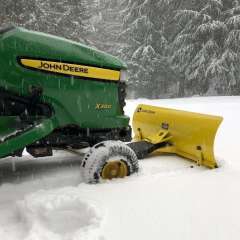
This is a LOT of snow for St. Ignace (north side of the Straights) Preliminary Local Storm Report National Weather Service Gaylord MI 902 PM EDT Sun Mar 15 2026 ..TIME... ...EVENT... ...CITY LOCATION... ...LAT.LON... ..DATE... ....MAG.... ..COUNTY LOCATION..ST.. ...SOURCE.... ..REMARKS.. 0845 PM Snow Saint Ignace 45.87N 84.73W 03/15/2026 E18.0 Inch Mackinac MI Broadcast Media -
590
Winter Storm: 3-15 - 3-16 Potential
Already a 60 mph wind gust reported in Milwaukee!- 1
-

-
590
Winter Storm: 3-15 - 3-16 Potential
Inches of SLEET on top the heavy snow. Rumors are I-75 is closed from Mackinaw to south of Grayling. Reports of trees being downed by ice a bit SE of Grayling. May just get a storm day off tomorrow. Preliminary Local Storm Report National Weather Service Gaylord MI 910 PM EDT Sun Mar 15 2026 ..TIME... ...EVENT... ...CITY LOCATION... ...LAT.LON... ..DATE... ....MAG.... ..COUNTY LOCATION..ST.. ...SOURCE.... ..REMARKS.. 0909 PM Sleet Lewiston 44.88N 84.32W 03/15/2026 M2.0 Inch Montmorency MI Amateur Radio Preliminary Local Storm Report National Weather Service Gaylord MI 1051 PM EDT Sun Mar 15 2026 ..TIME... ...EVENT... ...CITY LOCATION... ...LAT.LON... ..DATE... ....MAG.... ..COUNTY LOCATION..ST.. ...SOURCE.... ..REMARKS.. 1040 PM Freezing Rain Houghton Lake 44.30N 84.76W 03/15/2026 U0.00 Inch Roscommon MI Amateur Radio Trees and large limbs are being downed by ice. -
590
Winter Storm: 3-15 - 3-16 Potential
Classic parting shot at the tail end of an otherwise hot mega-Nino! I'd say further west than further north. I'd come back from S Cali just a few days prior and had written-off winter so wasn't expecting that at all. Was shocked when the rain turned to heavy snow in S. Bend.
-