
Leaderboard


Popular Content
Showing content with the highest reputation on 07/10/17 in all areas
-
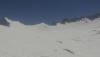
Some cool looking lenticular type clouds over Mount Hood earlier today.
 2 points
 -
I love the local area only thought process "Geez in my state it was cold last winter. Pfft to GLOBAL warming." This of course is a larger area than a state, but you get my point. Just like when we get a record low in the summer or a record high in the winter and people say it's one way or the other in regards to global warming. That specific event individually doesn't mean sh*t. Every month this year, the planet has been in the top 3 warmest since record keeping of this type began in 1880, keeping with the same pattern we've seen for decades now(save for 1 or 2 exceptions). That's all I'm going to say about this as this isn't the thread for that and this topic has been laid out on this forum where everyone's opinions are already known.2 points
-
Just WOW! @ these reports into GRR last Friday early morning. I had no idea it was that bad GRR's been majorly trolled by Ma Nature this severe season.2 points
-
Finally got some good rain overnight. 1.08" of much needed rain.2 points
-
I just want a good season. I am begging for an actual good season in LNK. Can Lincoln please have snowfall that sticks around? Please?2 points
-
2008 was actually the coldest year globally in the UAH series since the post-Pinatubo stretch. We were warming up again during 2009 thanks to the developing Nino. But yeah, the big '09 heat wave-to-August 6/7th cold trough roller coaster was a much more dynamic stretch than anything in the summer of '15.1 point
-
'07-'11 was a pretty solid stretch for us. 2011 was Portland's coldest year since 1985.1 point
-
Hate to break it to you, but it's never going to snow again.1 point
-
Pretty consistent training of storms over my area today. Nothing severe but frequent lightning all day and small hail. Also picked up 0.51" of rain giving us a healthy soaking which is always welcome this time of year.1 point
-
Looks like cooler weather (temps in the mid/upper 80s as opposed to 90s) and decent chance of storms each afternoon/evening here this week.1 point
-
Thunder98 posted chart on WeatherWest
 1 point
 -
I woke up at 4AM due to noise on the deck and chased a raccoon away only to realize a very moist airmass. It smelled like rain but the ground was dry. Very humid again and 4th consecutive night w/ minimums in the 70's. Reports of light rain/ thunder mainly west of my area overnight; today/ tonight could be a repeat. Edit: NWS_LA "Many areas in Ventura County received either a brief heavy downpour or just enough to wet windshields prior to 9am PDT."1 point
-
Tbh Niko, Mega-storms are rare for extreme SEMI (M-59 and south let's say) and even truly strong storms traditionally avoided that corner of the state (NYE '08 is a classic recent example). But, S Mich has been on something of a roll since 2002-03 and even the Detroit Metro has been included in several great storms. For a legit biiz, you're talking Jan '99, though Jan of 2005 was really close imho. To my knowledge, there's been (2) top five storms for Detroit in the past 50 yrs - Feb 2015 and Dec 1974, neither of which were a true blizzard. For like 16 yrs, DTW could not buy a storm over 12". It's known as "The land of the 5-9" snowstorm" by area posters elsewhere for a reason. Nonetheless, with Jan 2018 being 40 yrs since the MOAB's hit, I feel this area's kinda due for something historic.1 point
-
Found this about that April in Bend. Pretty cool. "After reviewing almost 80 years of Bend weather statistics, Dennis Hull, a warning coordinator meteorologist with the National Weather Service in Pendleton, said 1967 took the record for the most snowfall accumulation in April, with 23.7 inches."1 point
-
I saw a glimpse of the new Euro Seasonal and it blossoms the Alaskan Ridge in November with a trough carved out in the west/central CONUS along with a EC Ridge. In December, the entire hemispheric pattern amplifies and a big trough forms over the central/eastern CONUS. Looks like the west coast ridge becomes a dominant feature with a slight SE ridge. In January, the NW NAMER ridge blossoms as well as the EC ridge. An ideal pattern for fans of winter weather on our forum!1 point
-
Nice corridor of heavy rains...looks similar to a track of a Clipper, don't it???1 point
-
71 F low with a marine layer in San Diego this morning. Not something you would ever see anywhere north of Santa Barbara.1 point
-
Dewpoint was up to 69 F in San Diego this morning and that is with a marine layer cloud deck. Low only got down to 71 F. Last week it was 63 F.1 point
-
And in a response by a local Ausie reader..1 point
-
NAM 3km was money on this morning's event. Drove through the heaviest deluge in years. 94 westbound was closed right after I passed through. State police were helping with an upside-down car off in the ditch; presumably due to hydro-planing conditions. The median ditch was literally a pond 2 foot deep at one point. Much needed moisture for this region if it spreads the wealth around a little bit.1 point
-
Those who were here will #NeverForget. All joking aside, we had a very impressive pseudo-Arctic front drop down from BC on the afternoon of 7/10/2008. Winds at OMK gusted to 59 mph from the NNE, and gusts of 70+ were recorded in other N-S valleys in the Selkirks. Record lows were set over the next couple days at some locations, including a very impressive 29 at Rosalia (also a monthly record).1 point
-
I'm thinking these high dewpoints may more to do with than just monsoonal moisture as they are higher near the coast and sea surface temperatures have warmed into the low 70s. Hurricane swells might cool the water down again, however.1 point
-
1 point
-
We have higher dewpoints than New York right now. It was a very hot day here even though much of the day was cloudy.1 point
-
Today's whispy cirrus clouds introduced a Sitka-esque element to my summer perfection weekend. Not cool.1 point
-
Beautiful sunny day today.1 point
-
After doing some number crunching, it looks like 1st Place goes to ToastedRavs (he was off by 0.2" for Wausua, WI 60.5" season total), 2nd Place goes to WestJim (he was off by 0.6" for Wausua, WI 60.5" season total)...3rd Place goes to CentralNebWeather (he was off by 2.1" for Wausua, WI). Wausua, WI seemed to be the only city where most came close to the seasonal snowfall total. Ironically, that was the hot spot for snowstorms this entire season. Let me know if anyone differs in these outcomes.1 point
-
Dry heat is indeed better for those who suffer from arthritis or bone/joint problems. Many who come here experience a better way of life due to the dry heat. However, don't let it fool you, it still is D**n hot!1 point
-
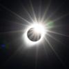
Stunning photos! That sounds like an epic hike. Wish I could have been there doing the same! How does the saying go, "A picture is worth a thousand words?" That is an experience of a lifetime. Much better than my hike this morning of a new PR 5.5 miles with a temp 98F and 62F DP!1 point
-
Relentless +NAO on the EPS. Also centered right over the climatologically coldest part of the Arctic. D5-10: http://i724.photobucket.com/albums/ww243/phillywillie/Mobile%20Uploads/ABE17C10-104B-4A4E-AF3A-124E800C8E72_zpsf1kb0gqb.png D10-15 http://i724.photobucket.com/albums/ww243/phillywillie/Mobile%20Uploads/84A439E1-C6F1-4762-A91D-36147F86F77B_zpsgs16d2i0.png Could we break the all-time NH July low-temp record again in the same month? Some of the EPS members say yes, and drop temperatures below -35*F on the Greenland ice sheet during week two.1 point
-
Now, if we could repeat this circulation for ~ 20 consecutive summers, we'd probably have glacial inception. Lol.1 point
-
If our president is a horrible person, he sure does suck at it. 100% Class act.
 1 point
 -
The NH snowcover anomaly for June was the highest in 14yrs thanks to stunted EHEM poleward transfer above 20N. With another episode of ISM weakening upcoming, and subsidence entering the EPAC/WHEM, expect another consolidated vortex/+NAO over Greenland/NE Canada through mid/late July, with an anticyclone centered over northern Siberia.1 point
-
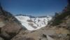
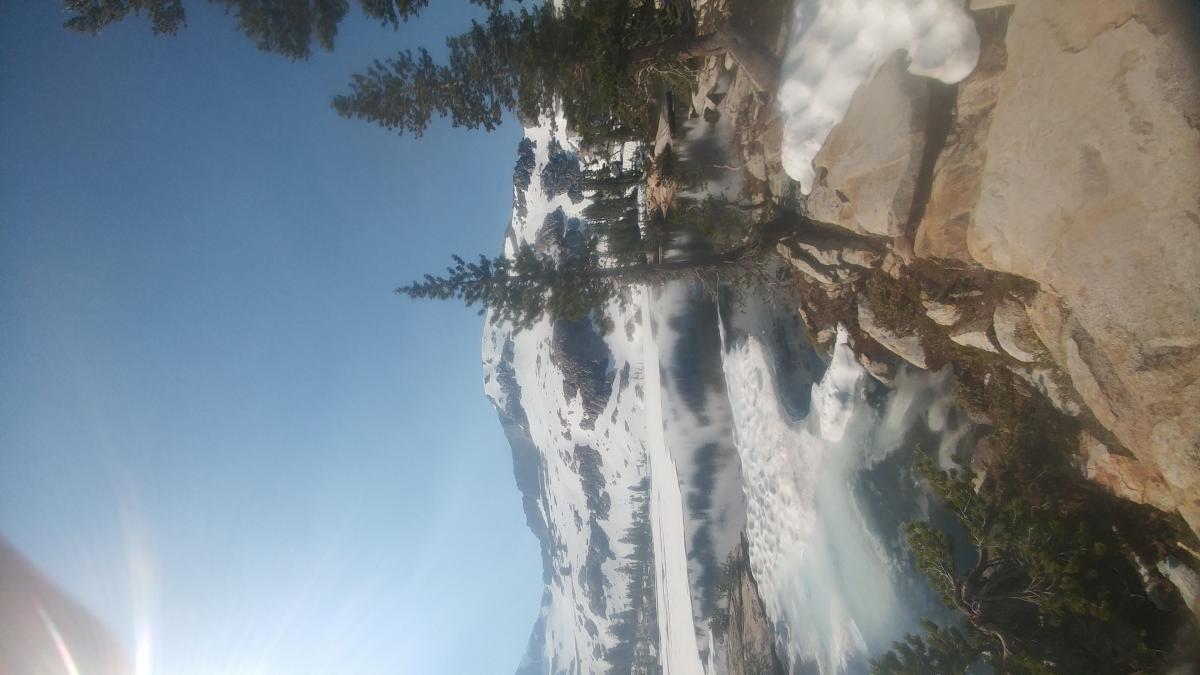
I just got home from Yosemite. What a expirence hiking in 15ft of snow and getting attacked by bees.
 1 point
 -
I'm off to do my Sun morning 4mi hike. Current temp 92F with a 62F DP! Thankfully, it's a bit overcast. Highest DP's of the season out here so far. Many storms formed over the northern and southern valley. Hope I can score some today!1 point
-
I was at Summerfest in Milwaukee last night. Perfect weather right along Lake Michigan!1 point
-
Gorgeous evening on tap here in SEMI. Wow, for this time of the year, its a given. Currently clear skies, RH @ 35%, DP @ 51F and air Temp @ 72F and dropping into the 50s overnight. A night to let mother nature bring in some fresh air.1 point
-
Yeah. I think the cold (or "cool" now that it's summer) will eventually quit spilling off the other side of the globe as we move into the autumn months this year. The drivers that have been responsible for destroying our winter seasons the past 2 years are all breaking down/reversing. Should be some fun weather times ahead.1 point
-
`The power is now back on here at my house. There are a lot of trees down in the Grand Rapids area and that brought down a lot of power lines. The damage is kind of hit and miss with the worst on the south side of town. In my area not a lot of whole trees down just many large branches. But on the south side whole trees are down either broken in half or uprooted. There were reports of wind gust of maybe up to 100 MPH. I only had winds of 35 MPH so that too was hit and miss. And here I recorded .073” of rain.1 point


This leaderboard is set to Vancouver/GMT-07:00