
Leaderboard


Popular Content
Showing content with the highest reputation on 03/05/24 in all areas
-
A photo of my kids first snow yesterday. I think he enjoyed it
 27 points
 -
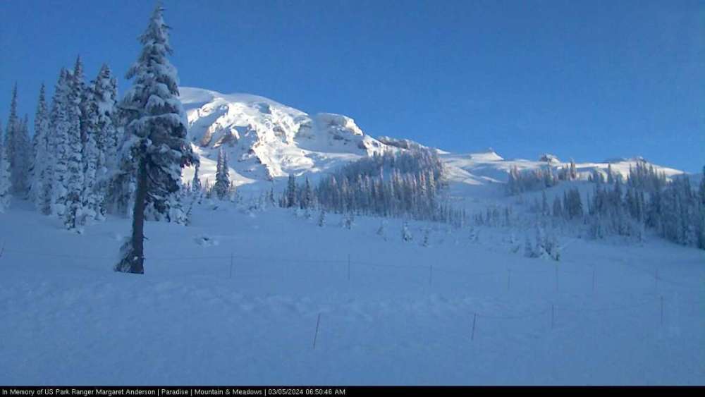
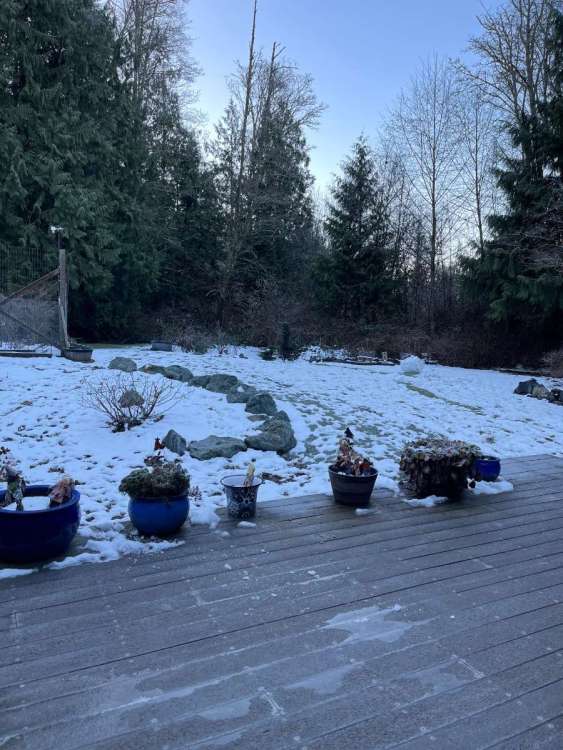
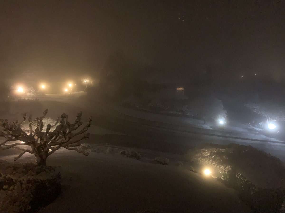
Parent's house this morning.
.thumb.jpg.b2721cbd71dd4d94ff217621b2057623.jpg) 15 points
15 points -
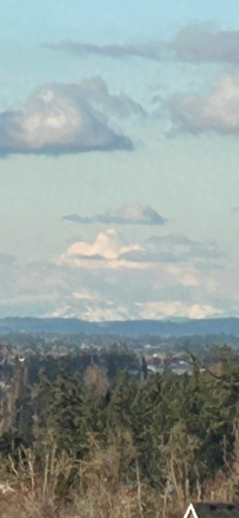
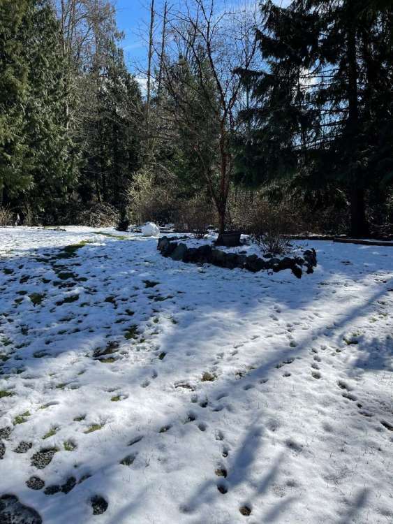
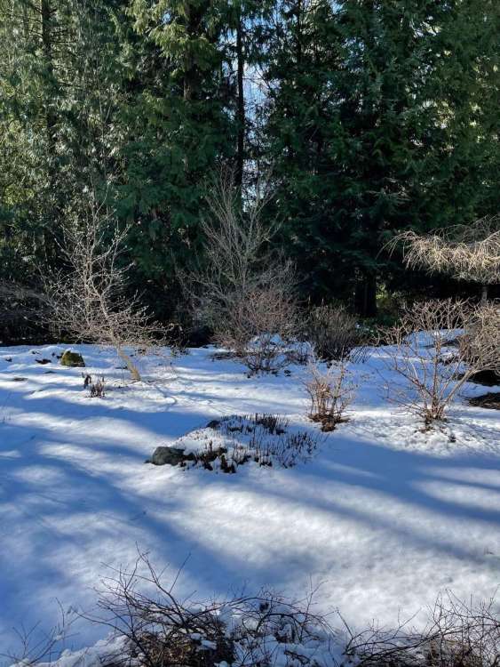
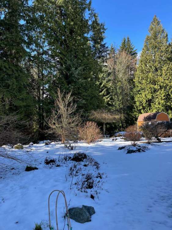
Nice morning in the mountains.
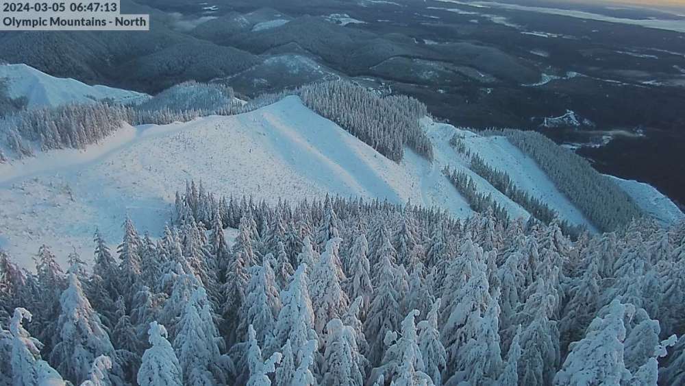
 14 points
 -
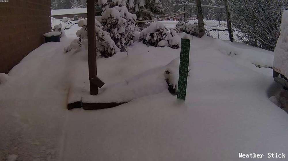
Picked up about 10-11" from the event since yesterday afternoon and our snow depth is up to 21" and annual total of 82"! 19 degrees currently with a high of 34, temp is dropping quick. Here's a photo dump from today, some pics when it was sunny and some when it was snowing. Saw a buck who still had his antlers, they likely will shed very soon.11 points
-
Another reason why I love my location! It retains the snow so well during these setups! I even have snow on my roof still. Currently 33.8 with a DP of 26.
 10 points
 -
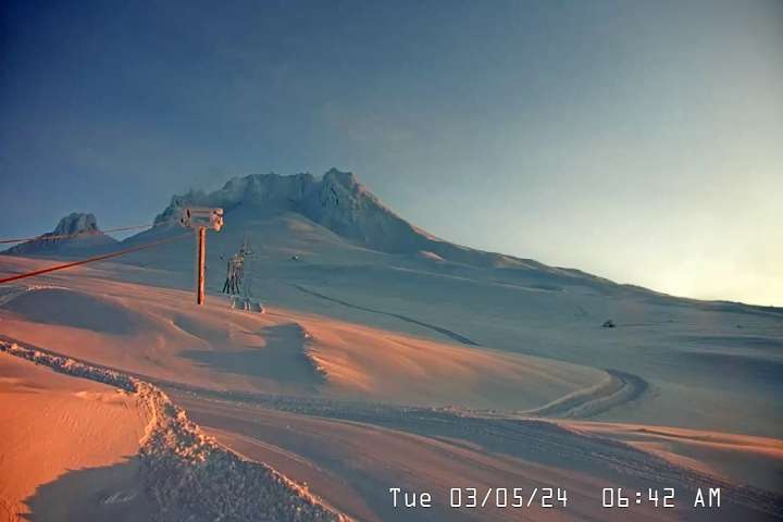
Silver Falls Hwy on the drive home.
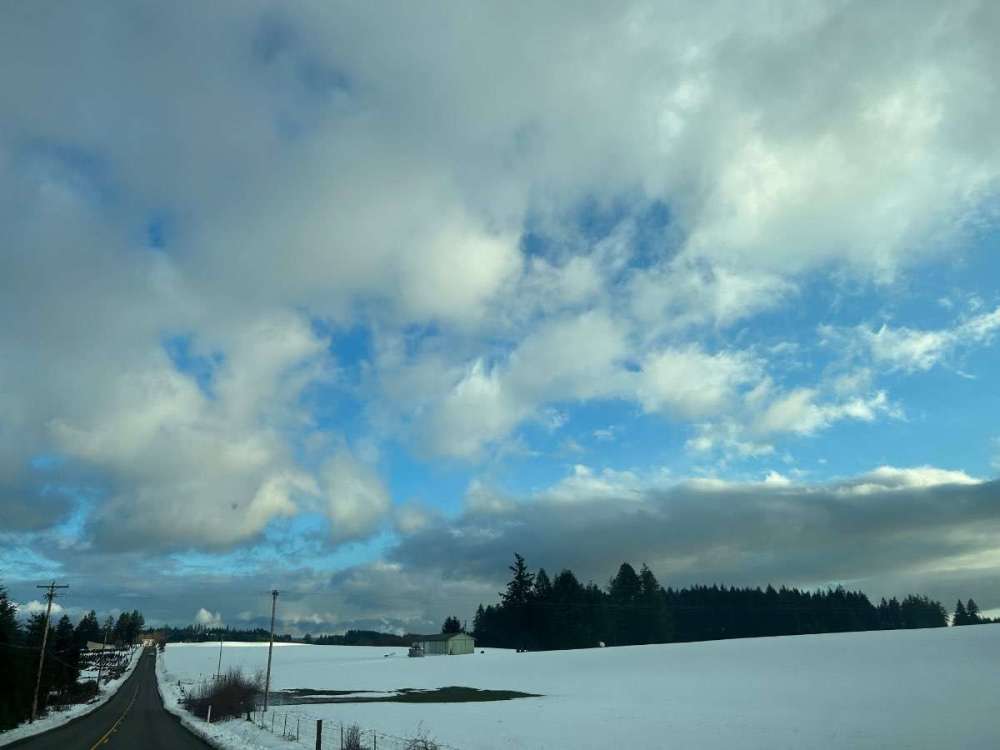 10 points
 -
We would never hear from @Phil again.10 points
-
So it seems like with this week virtually everyone in the I-5 corridor has now avoided a goose egg this winter, save perhaps for some sea level locales near the Sound. Good work guys!!10 points
-
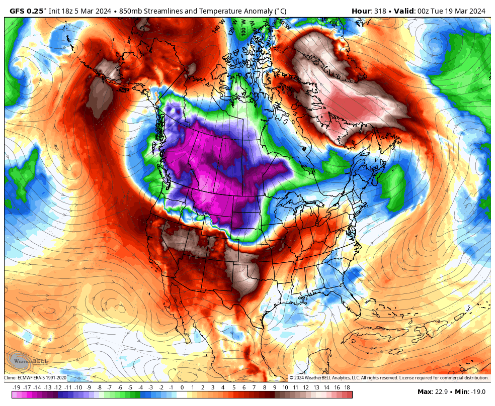
This is an exceptional opportunity to come up with some big league mins tonight. 850s in the -8 to -9 range, clear skies, and light winds with a weak northerly gradient. I think it will come down to how much the dew point is able to drop today. Pretty darn rare to have it align so perfectly this late in the season. Hopefully a sign of things to come over the next year.9 points
-
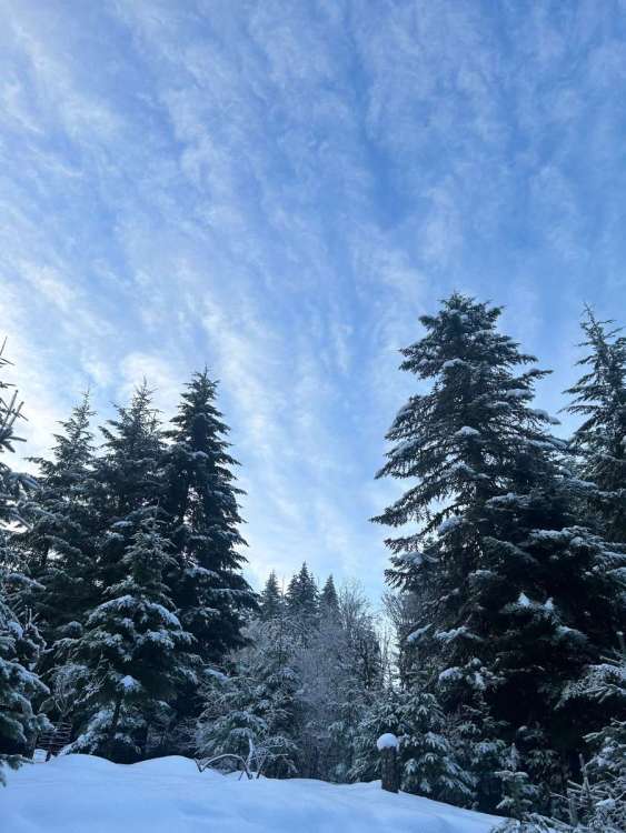
Woke up to about 4” here. 43.5” for the season passing last years 42.2”.
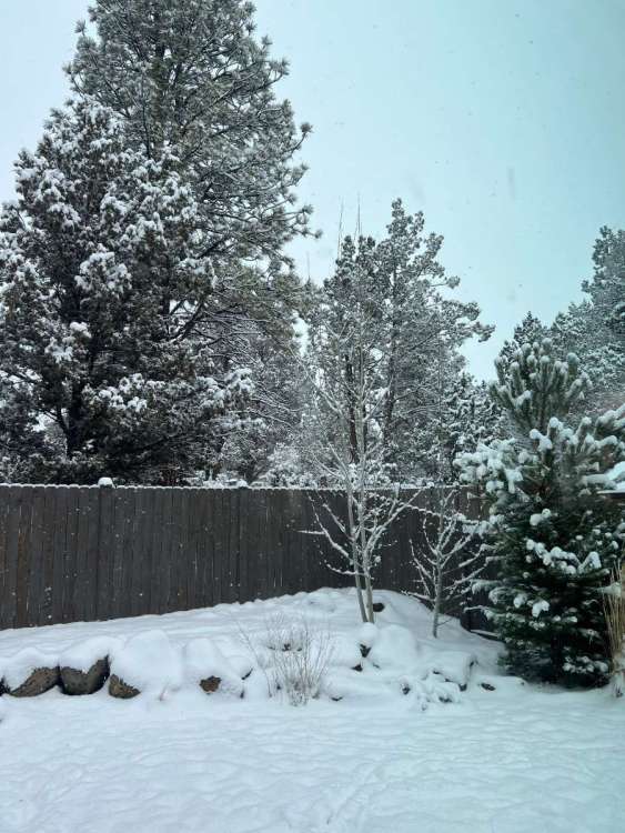 9 points
 -
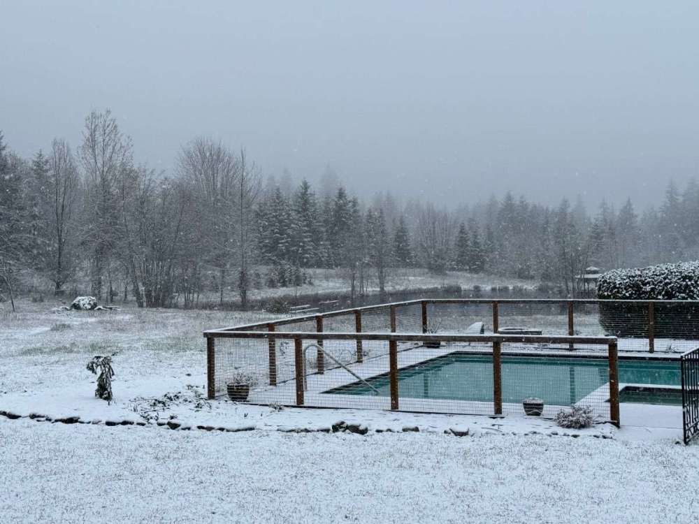
Freezing fog with snow on the ground this morning. That's a first for me in March. Looks like a sunny and crisp day coming up once this clears out. Tonight is going to be impressively cold for many. Some Fraser outflow has actually made it into Whatcom County.9 points
-
Took advantage of a midweek day off and clearing weather to get a nice drive in today. Up through the Gorge then north to Trout Lake. There was about 6-8” of snow in Trout Lake with afternoon temps in the mid to upper 30s. I love the climate of that area. It was sunny on the south end of the valley and snowing on the northern end, closer to Mt Adams, which itself was lost in a snow squall. Went all the way up to Pineside sno park where there were a couple feet of fresh snow, which looked great among the orange barked ponderosa pines. Stopped at Stevenson Landing on the way home for a pretty evening view of the Gorge in the fading daylight.


 8 points
 -
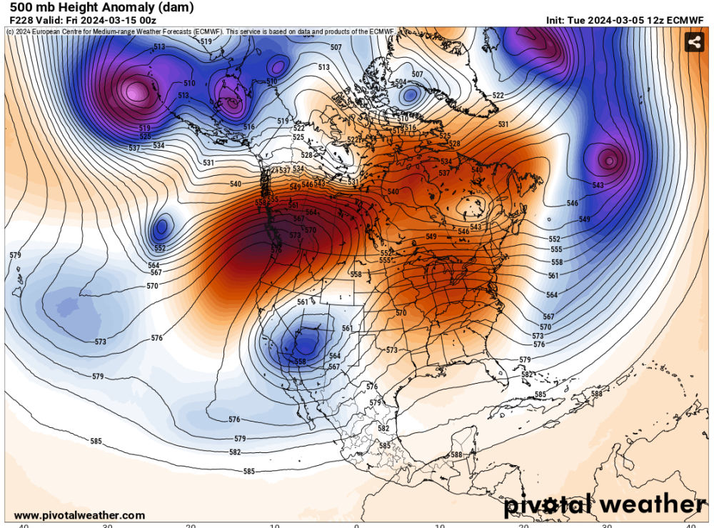
Interesting article about the Euro. And some changes for later this year. "On August 1st, 1979, the first operational Deterministic forecasts from the European Center for Medium range Weather Forecast (referred to ECMWF hereinafter) were released at low spatial resolution (210 km) using Spectral Transforms out to 120 hours (5 days) with further upgrades to 168 hours (Seven days) on August 1st, 1980. [1] Ensemble forecasts were first created on November 24th, 1992 at 210 km horizontal resolution with 32+1 members 3x a day while the deterministic model was 200km, this difference in resolution gave the deterministic its name, HRES. Incremental horizontal resolution increases have occured since 1992 with 41r2 in 2016 featuring the last horizontal resolution increase to the HRES and a new grid (Octahedral Gaussian, 16 km-->9 km HRES, 36 km--> 18 km ENS). Improvements to many surface, upper level variables including track & intensity of hurricanes were noted. [2] In 2021 brought 2 upgrades to the IFS model with one in particular was 47r2 which brought Single Precision (32 bits) from Double Precision (64 bit) to the IFS HRES & ENS, this helped reduce computational cost to increase the vertical layers in ENS to 137L to match the HRES. [3] In October 18th, 2022, a major supercomputer upgrade took place from the Cray XC40 cluster to the ATOS BullSequana XH2000 in Bologna, Italy. This has allowed ECMWF to introduce another significant step in unifying the ENS with HRES by introducing 48r1. With this upgrade came the increase in horizontal resolution to the ENS from 18 km to 9km. This is now in sync with the HRES and makes the ENS control meteorologically identical to HRES with the only changes being HRES runs before ENS control and that ENS Control goes out to 15 days to match the 50 Perturbed ECMWF EPS members. Significant improvements to track & intensity of hurricanes/typhoons were well noted as well as many surface, upper level. The analysis of HRES/ENS are exactly the same with differences in model outputs appearing with increased lead time. [4] The former twice a week ECMWF-Ext ENS changed to once daily with 101 members starting from day 0 instead of 15 which was an extension of the medium range forecast..the reforecast were also separated to be consistent. [5] Plans For the Future? In 49r1 (set to be implemented in October 2024) will still feature 2 separate deterministic systems 'HRES' 'ENS control' but the HRES will be extended from 10 days-->15 days and still come out earlier than ENS. [6] In 50r1 (set to be implemented in June 2025) the 'ENS control' will be retired while the 'HRES' will be renamed to 'ENS control' but still come out earlier than the ENS 50 perturbed members. This will remain at least until 51r1. [6]"8 points
-
About an inch this morning. Starting to let up. Probably the last of the season.
 8 points
 -
Beautiful view of Mt Adams from Silverton this afternoon. 1st pic is Mt Angel, more of a hill by the town of the same name.
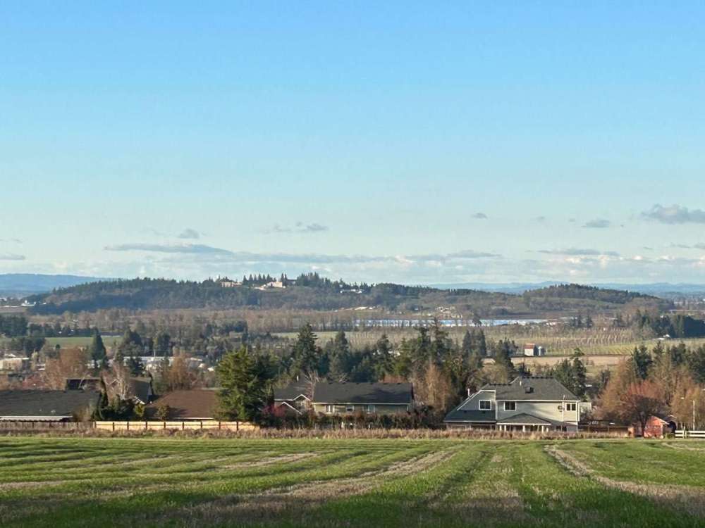
 7 points
 -
7 points
-
Inject this into my veins.
 7 points
 -
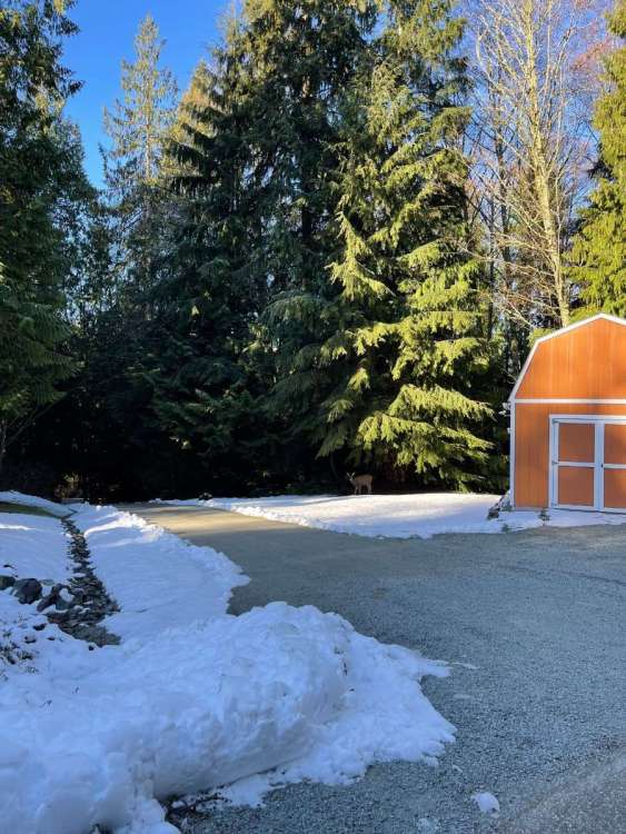
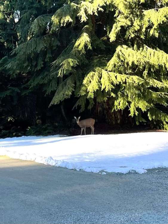
As I was leaving a few minutes ago, they were enjoying the snow as well!
 7 points
 -
The demise of El Nino has begun.7 points
-
Currently 26.4. Low so far is 26.1. This does not look or feel like a March morning! Winter finally came!
 7 points
 -
7 points
-
6 points
-
Actually what really matters is that we need the 6 and 18z runs to be full crackhead and not the wimpy limp noodle 90 hr runs they are now.6 points
-
18z GFS nearly goes full arctic at hour 300+6 points
-
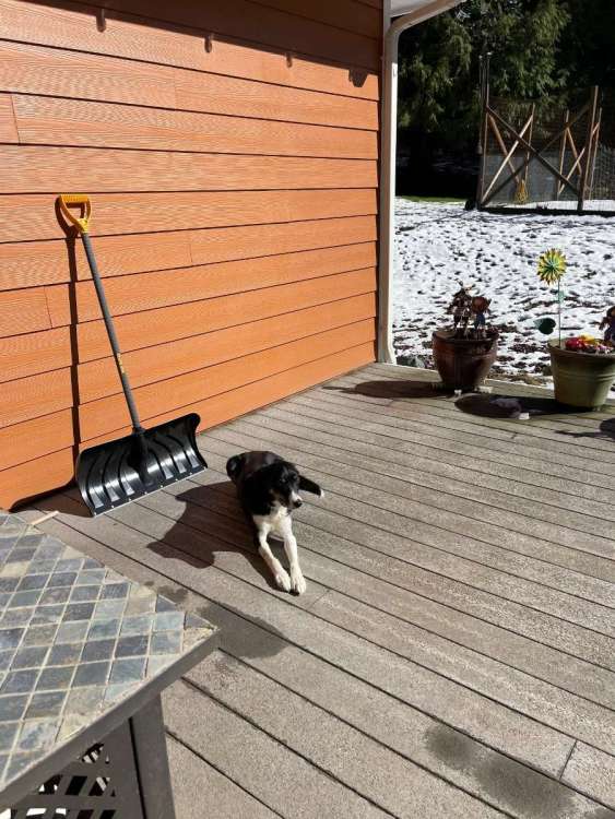
The snow has some staying power with the DP at 30! Air temp is 40. Even in the sun the snow is hanging in there. My dog is loving the sun! She’s like me, loves snow and loves the sun!
 6 points
 -
Yeah, the night we had some falling snow was nice. Just wish it could've been more. As it is, the winter is still a solid B since we had a prolific ice storm that will be remembered for a long time as well as 2 straight sub freezing highs in an impressive low level cold airmass, which hadn't happened since Jan 2017. Nice to get that monkey off our back as well.6 points
-
6 points
-
32 at 10:00 am in March. Brrrrr.6 points
-
Picked up 8.75" from this event, with maybe 1-2" more on the way. 24 degrees currently, low of 23.
 6 points
 -
Skies now clearing. Should be a nice day followed by a cold night!
 6 points
 -
Finally snowing here.6 points
-
The ECMWF just recently released its AIFS (Artificial Intelligence/Integrated Forecasting) System. It’s a deep learning-based system developed by ECMWF. It is initialized with ECMWF HRES analysis. It runs 4 times a day and goes out to 15 days. Here’s what the 18z showed. You can find it now on Tropical Tidbits and Pivotal Weather.
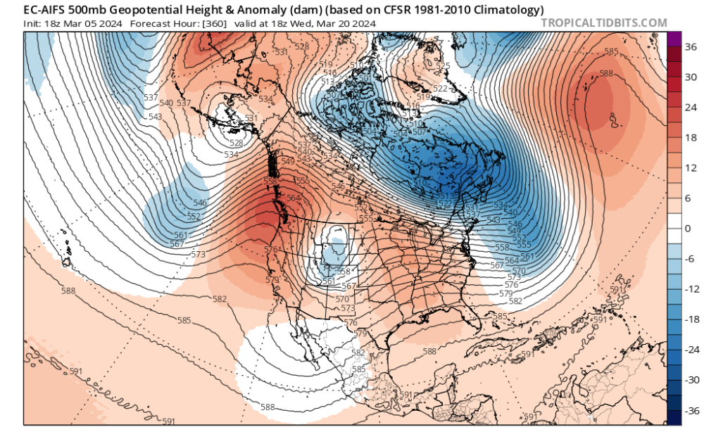 5 points
 -
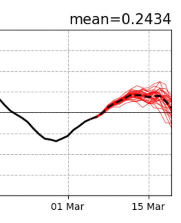
Omg 15 day euro runs!!!! YES!!!!!!!5 points
-
I just found concrete evidence!
 5 points
 -
BBQ’ing on this fine spring evening! Currently 31.6 degrees.
 5 points
 -
It dropped to -20 in Prince George this morning. 100% impressive.5 points
-
5 points
-
Did SEA record snow last night? Sure hope so. Was clear from webcams the ground was white there.5 points
-
But this forum is still up and that’s all that matters!!5 points
-
Low of 29 this morning, definitely looking at potential midnight lows this evening down this way.5 points
-
It’s coming! Again!
 5 points
 -
Temps in the 20s this morning. Everything blanketed in snow. Should be a nice week!5 points
-
I had snow IMBY after the equinox in 2008. A lot of places in the Puget Sound area did.4 points
-
4 points
-
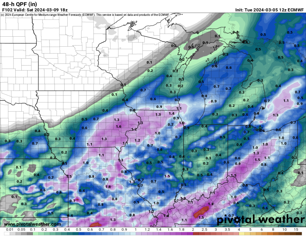
Latest Euro.... this needs to pan out.
 4 points
 -
Crazy... 12Z ECMWF is already done. That will offset the hour we lose this weekend.4 points
-
I did a bit better here. About the same amount of water, but I managed almost an inch of accumulation. The dew point got quite low here yesterday afternoon, and that is probably the only reason it worked out as well as it did. For a while the snow was actually pretty decent quality, but it got very sloppy for the second half in spite of lower temps. It was coming down very hard with huge flakes for a while. As you say it could have been several inches with a bit colder air mass. The Central Puget Sound does so much better when the trough axis moves inland as last night showed.4 points
-
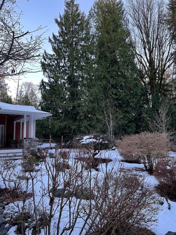
Pretty amazing how much you still have left. My trees still have snow on them here, but I didn't get that much.4 points
-
This tiny cell is just parked on me. Up to 2”4 points
-
It came in January too.4 points


.jpg.0383096f3342e926957cb1a7e86c51a7.jpg)


This leaderboard is set to Vancouver/GMT-07:00