
Leaderboard


Popular Content
Showing content with the highest reputation on 03/06/18 in all areas
-
And Nebraskans on this forum always say nothing ever shows up on Radar in their parts.....3 points
-
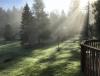
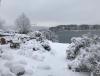
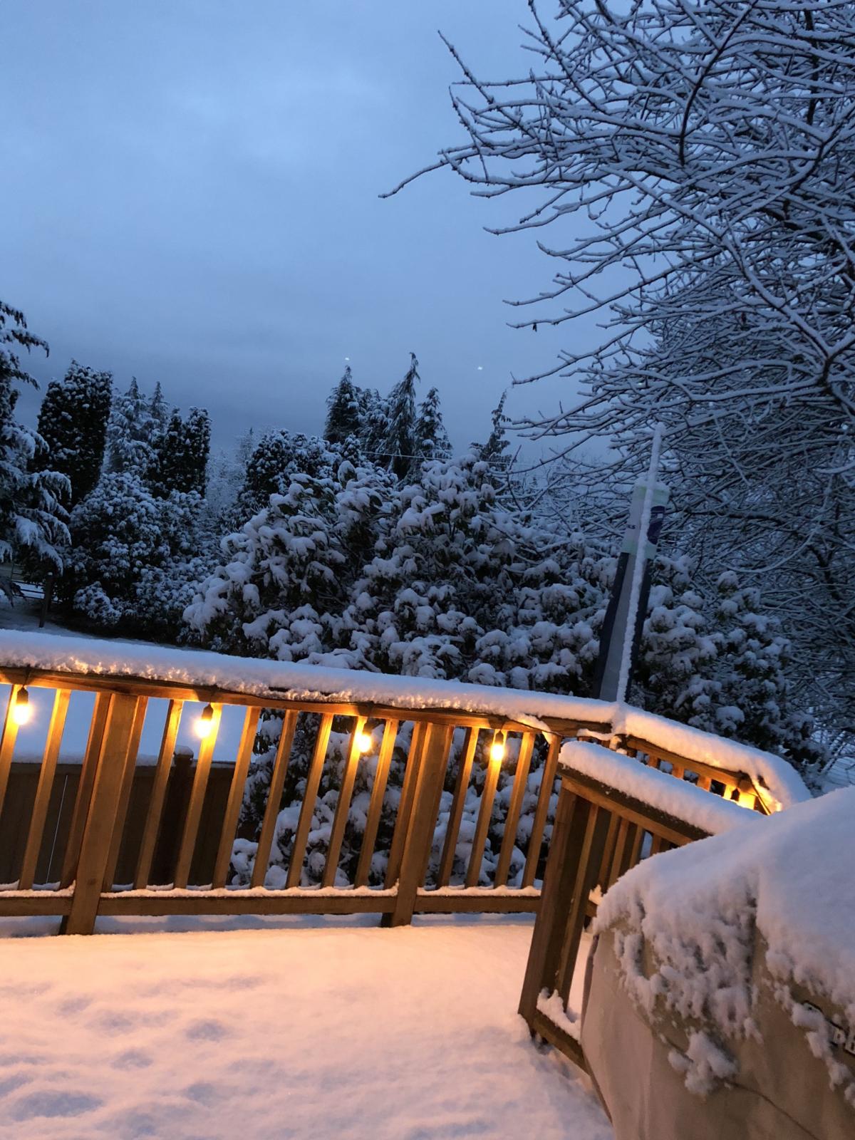
Spectacular morning after a low of 31F and a bit of fog.
 3 points
 -
I can't be the only one that mows the lawn really short in the fall just to make it easier for the snow to cover it completely.3 points
-
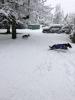
4" on average across my driveway. This was the snow i've been waiting for all of February. Unfortunately, the snowmobiles are tucked away for the summer after the recent rains and warmth. Still very pretty.3 points
-
Heavy snow overnight. Easily the fastest snowfall rate of the winter. Unfortunately it was overnight because good pictures are hard to get in the dark. At least with my awful camera skills. At least you don't have to take my word for it.3 points
-
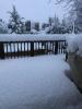
Guess I can add a slushy 1/4” to my seasonal total.2 points
-
12z GFS spits out a high of 65 Sunday and 70 next Monday for SEA. I'm not going to pull a Tim and beleaguer the point, but that does sound pretty d*mn nice.2 points
-
Wow, almost blizzard like conditions here with over an inch of snow. Maybe 1-2 more through early afternoon. Roads snow packed and lots of blowing snow.2 points
-
They should be ready for spring and warmth like us are.1 point
-
You need to measure in feet like I did a few weeks ago!The great storm of Feb. 2018...oh the memories!
 1 point
 -
I literally lol'd at Saban...1 point
-
It counts!1 point
-
Snowing in DC!1 point
-
You’re my favorite poster here1 point
-
Yeah, why don't you gang up on me like you always do with your clique...you & Snowlover76 & OmahaCraig & NebraskaWx & Saban? You think you're all that but you're not.1 point
-
I mowed. Seasons suck.1 point
-
Been a brutal last five days.1 point
-
I have also read of scores of Victorian era boaters who were savagely brutalized by late afternoon gradient reversals, with only their top hats to cling to before they succumbed to the moderating ocean breezes.1 point
-
Tabitha, I’m not even sure how to respond to some of those posts, so I won’t. Money likes to banter with people. Some people take it too seriously. I find it entertaining. It’s all good. Have a pleasant day, and good luck with the next storm.1 point
-
His praise for the early 20th century is intriguing. He would likely have gouged his eyes out with a fork if faced with a repeat of the summer of 1916 or 1921. Extended burn-off days are some of the worst things in the universe.1 point
-
Thundersnow was reported not long ago near the River North area of Chitown...1 point
-
No one has mentioned drought other than you. Some people just struggle more with letting go of Winter than others. It is hard to say goodbye to snow chances.1 point
-
Congrats. A little jealous but unless it is something big, I just want Spring to stick around. I had enough of those minor events to last for several winters.1 point
-
After a dry winter cool rain would be welcome.1 point
-
Very cool. You can see the ground fog in the distance from the SN cam, too.
 1 point
 -
Coming down pretty heavy in Omaha now. Rode my motorcycle a bit on saturday... I'm ready for spring!!1 point
-
Is that even possible in your warm microclimate? Must be your first freeze of the winter.1 point
-
Almost looks like the center of a hurricane spinning right over DSM...#Awesomeness1 point
-
I got 0.8" of 4 to 1 ratio cement, yesterday. Overnight and this morning, I got 0.7" of 35 to 1 fluff.1 point
-
#winterniko continues.. A 1/2 to 1-1/2" of snow coated SWMI this morning. The same snowfall in late Nov or early Dec gets me pumped for the holidays and more serious snows ahead. But at this point it's warming and melting almost immediately so It's welcome has worn off. Would much rather have sun and blue skies. Doesn't even need to be warm. Last weekend was great. This month is reminding me of what I hated about last winter..namely it wasn't really winter and it wasn't really spring either. Just an extended season of brownness. It doesn't help to see peeps out west and out east again getting nailed. That's at least exciting stuff. And uggh at 3 more weeks of this, lol1 point
-
I agree, the cold core spinning right over DSM is so neat to see on radar...hope next year we see these during DJF...1 point
-
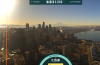
This system looks beautiful on GOES-16 satellite imagery...meanwhile, convective snow showers are blossoming across N IL and will add to the winter feel today.1 point
-
I am just about to head out to work, it’s absolute pound town outside. Between the snow and wind the visibility might be a quarter mile or less. I an done with Winter, however this storm has been a surprise!1 point
-
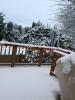
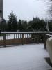
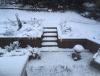
Snow was so heavy it weighed down the grass. So our 1”-1.5” is effectively covering the grass. Still expecting on and off snow showers today with maybe 0.5” more. It’s a pretty picturesque 1” though.1 point
-
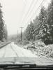
I am on the southwest side of the city, so haven't got into the really good stuff yet. Looks like some 35 dbz returns just to our north and west up towards Fremont... has to be rip city under that band. I can't even begin to estimate how much snow has fallen, maybe an inch to an inch and a half, as the snow is literally blowing around everywhere with the constant 40-45 mph wind gusts. Also the main eastbound Interstate highway through Omaha is closed (Interstate 80) due to a massive accident and white out conditions. Going to be a fun drive into work here in a little bit for myself.1 point
-
0.0 here, easy to scoop.1 point
-
Also, temps are colder than expected, so this is powder and it's being tossed around like a toy by the wind. Almost nothing on cars.1 point
-
15 in a row against the Lakers...1 point
-
Lillard never ceases to amaze me.1 point
-
It's kind of interesting...A while back I ran the composite 500mb maps for Arctic fronts that bring significant snow for Seattle and the ones that don't. The blast late last month had elements of both so it could have gone either way. The biggest deal seems to be what longitude the positive anomaly center ends up over the GOA / Aleutians. The mean on the low snow Arctic fronts has the positive center at about 147W while the snowy Arctic fronts have the center at about 158W. The recent event had the center at 152W. Another issue with the recent event is we had to wait for cold air to advect into the interior of BC before it could advect into WA. The events that really work out well for this area seem be when cold air is already in place over BC and it can make a much quicker blast into WA. One thing I can say with certainty is a good scenario for Seattle will happen again. Probably within the next couple of blasts.1 point
-
Most probably don't want it1 point
-
They don't deserve it1 point
-
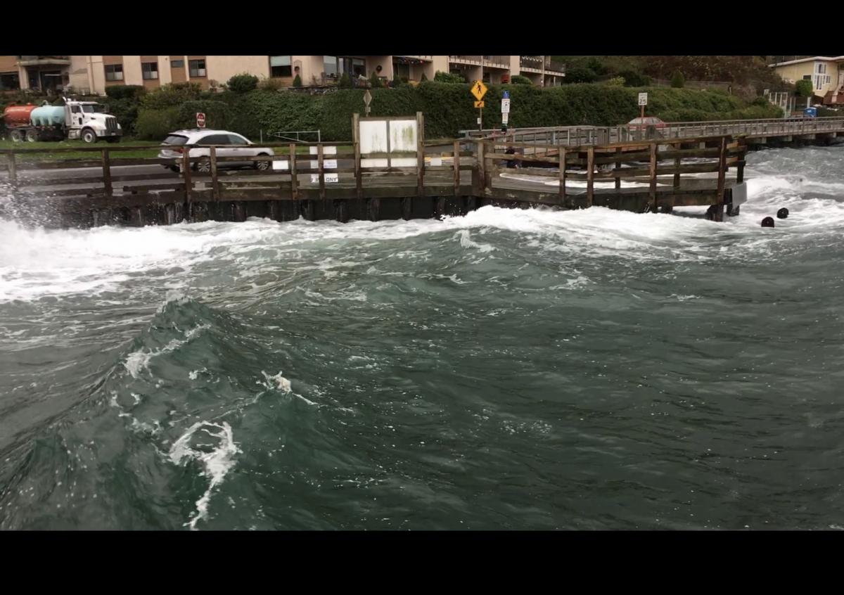
1/4mi cars going 5mph on our road it is nuts out there!1 point
-
Quite a blow up,there ! Hope your place came out better.1 point
-
I actually caught the furniture blowout on camera.1 point
-
I ended up with 13" this morning with heavy lake effect snow. Snow rates briefly exceeded 3"/hr.1 point
-
the ssw doing it's work before the ssw pattern was about as lame as possible now it like a switch went off and pattern is going haywire.1 point
-
Each snow event this season... 11/5/17 12/25/17 2/14/18 2/18/18 2/21/18 2/26/18
 1 point
 -
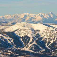
Blizzard of 2018 currently impacting NW Montana1 point
-
Here are some pictures from around my parents' neighborhood in NE Seattle taken the night of the 24th, Christmas morning, and the morning of the 26th.
 1 point


This leaderboard is set to Vancouver/GMT-07:00