
Leaderboard


.thumb.jpeg.e3014abf99ef08a9f9ac2c0cd31b485b.jpeg)

Popular Content
Showing content with the highest reputation on 02/23/23 in all areas
-
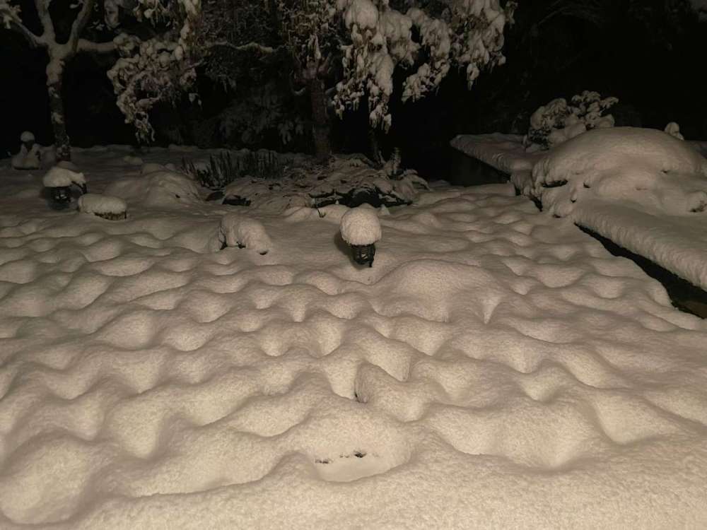
Saw this posted on social media.23 points
-
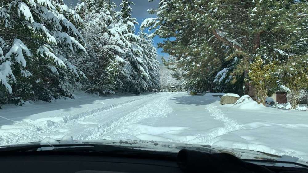
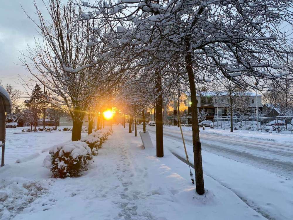
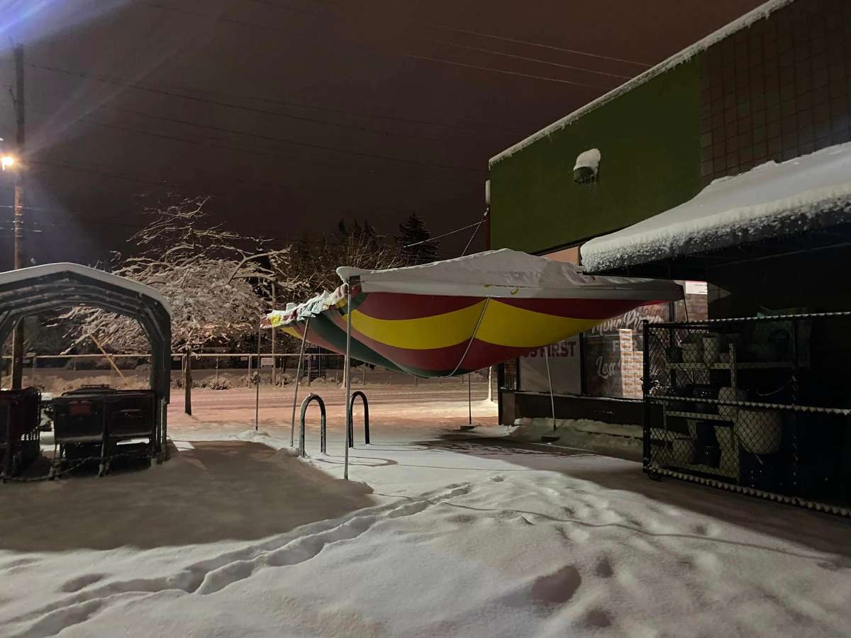
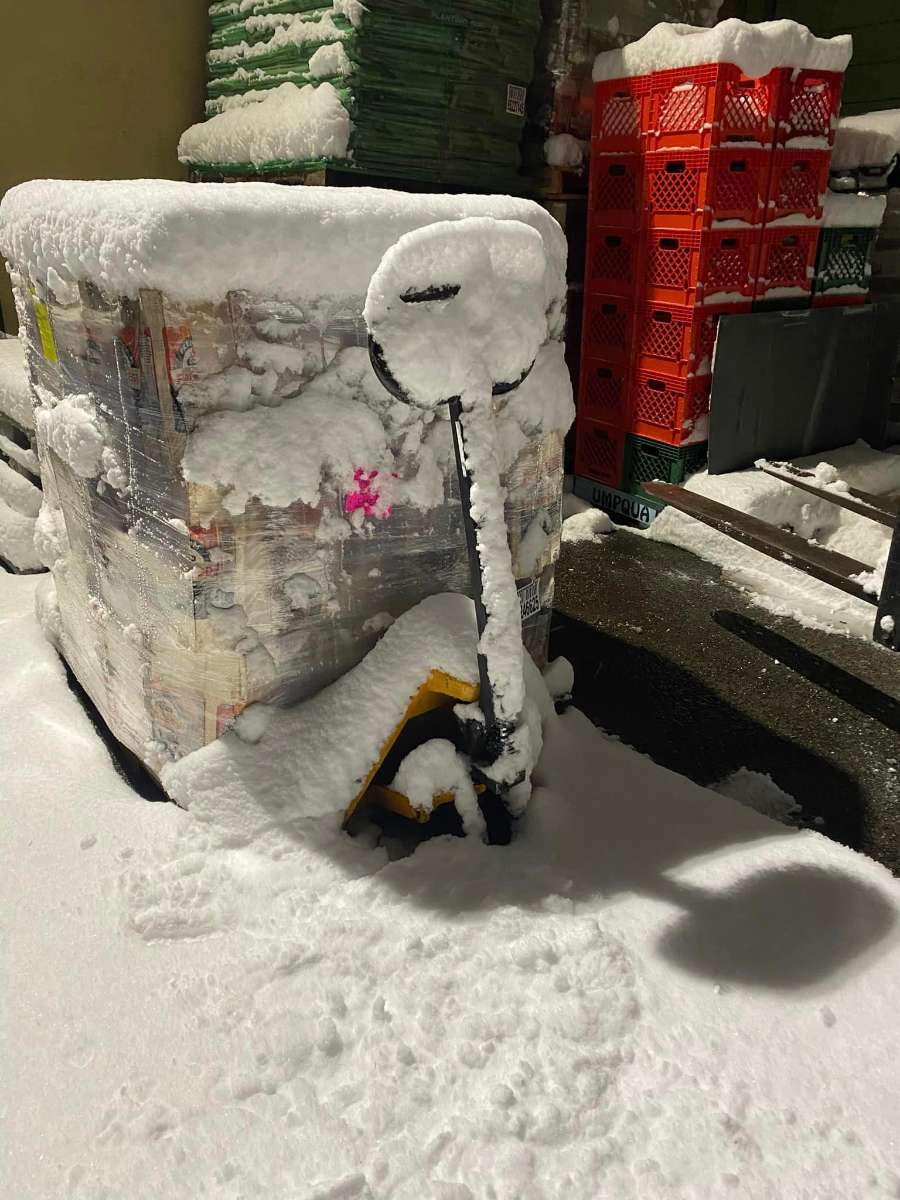
Now that the event is finally over, my thoughts. Just an absolutely top tier event-- widespread snow, strong winds, and definitely some of the heaviest accumulation since January 2017. In fact, I think in many ways this is comparable to that event and it's definitely not just a "lite" version. Have to mention the almost ground blizzard-like conditions today as strong easterlies whipped up the snow under some of the prettiest blue skies I've seen in years. I genuinely think a storm like this was worth the wait. From the perspective of our little weather nerd subculture it was incredible to have a storm where near-term models were constantly self-correcting in real time-- obviously a terrible thing for most of the general public as we saw what an unprepared and nearly completely unforecast snowstorm did to the city last night. A video from my neck of the woods below. PXL_20230223_232428432.mp418 points
-
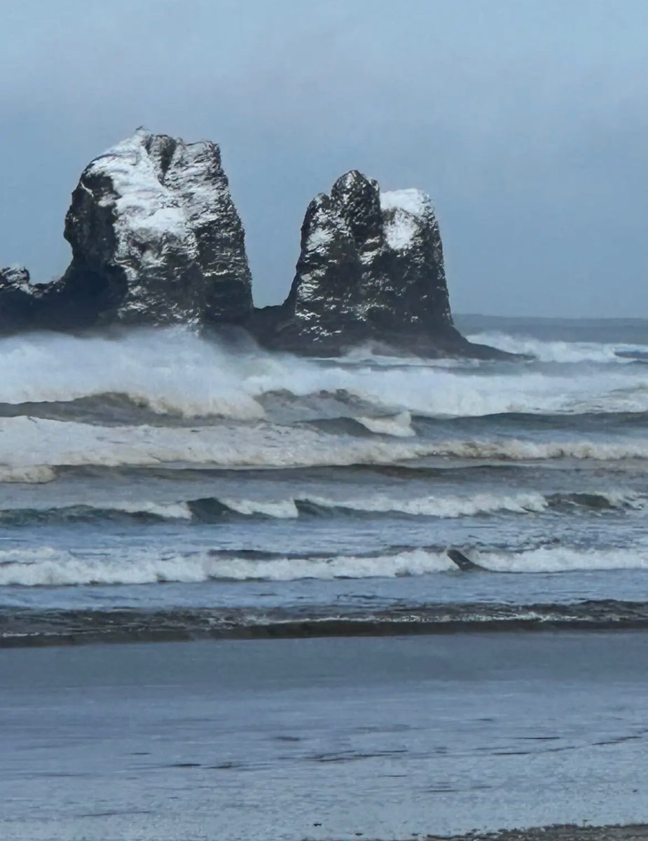
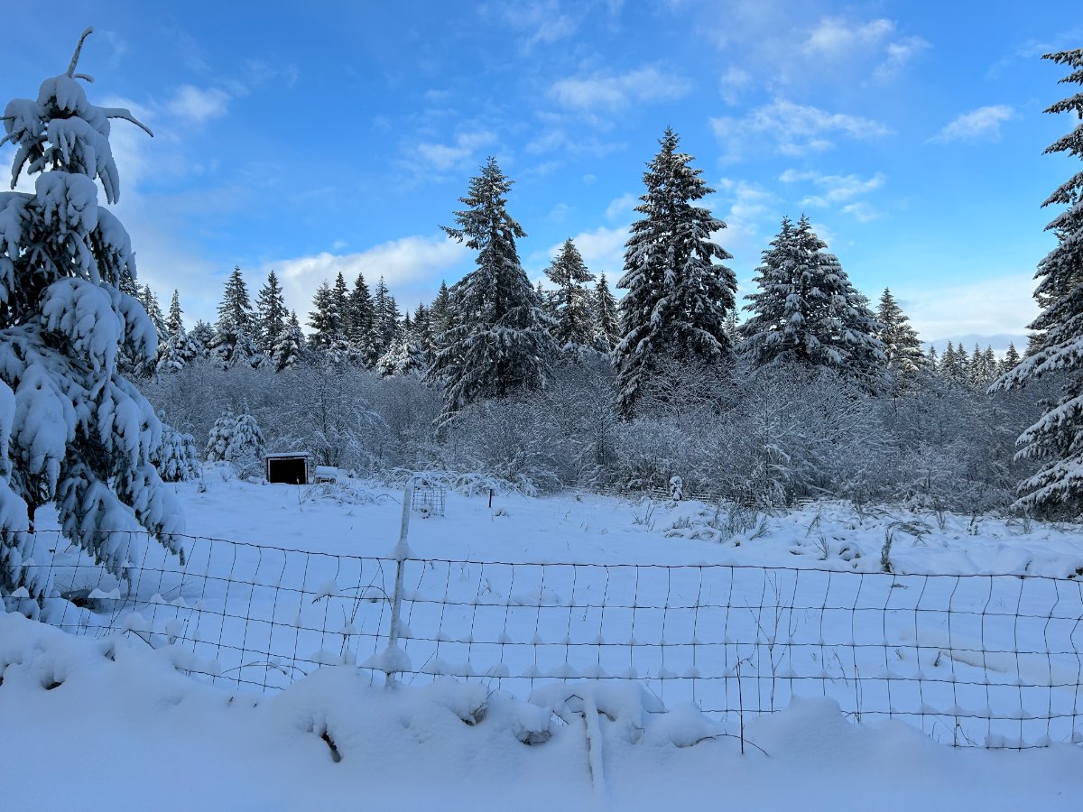
Twin rocks in rockaway. That’s rare.
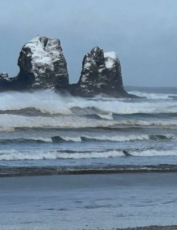 17 points
 -
Turns out, weather models still suck. Still snowing here. 28 degrees and I haven’t been outside yet, but just looking out the window looks like a guess of around 6 inches out there.17 points
-
17.6 with very strong winds. If this wind slacks off we ll hit single digits easy.

 16 points
 -
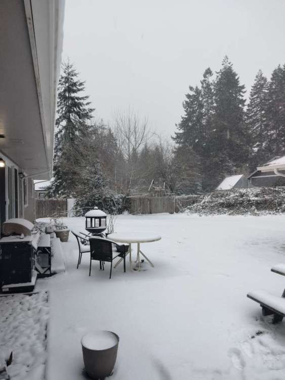
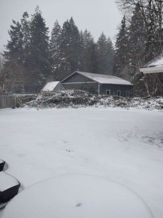
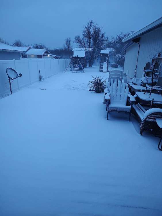
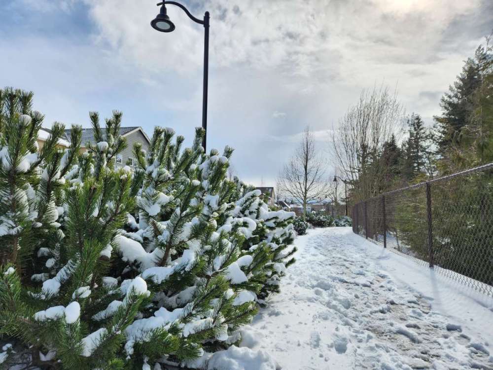
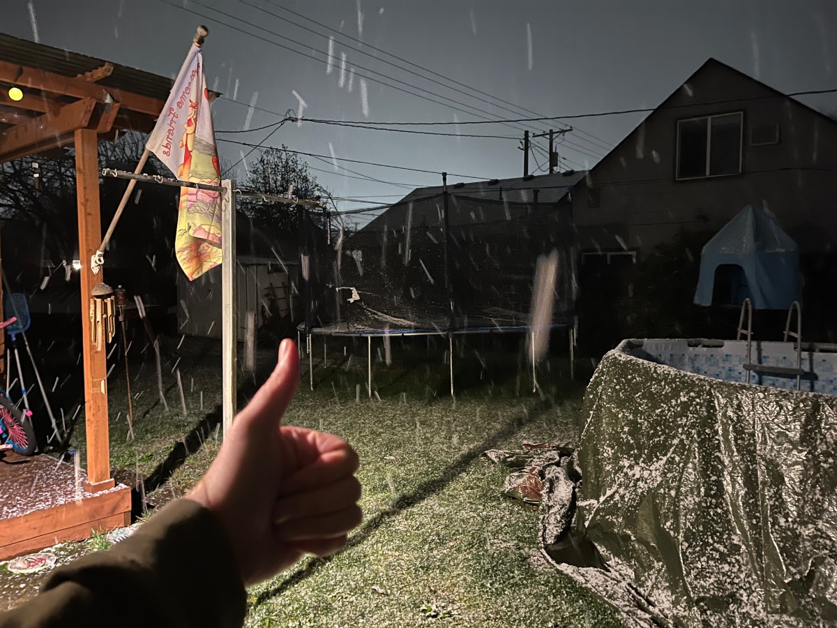
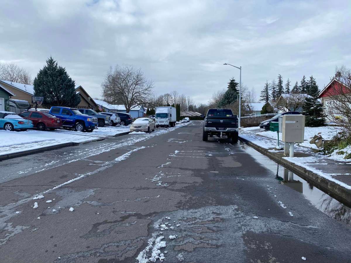
This sums up how it is out here. It's a ground blizzard with East wind gusts 40-50mph with 11 1/2" on the ground! AMAZING! I do hate that the wind blew most of the snow off the trees though. 12z Euro/EPS keeps the threat of lowland snow very real several times over the next 10 days! WOW! Moses Lake 19 F at 1 PM under clear skies and bright sunshine. That's incredible for late Jebruary. It's a Jebruary to remember! MVI_3376.MOV16 points
-
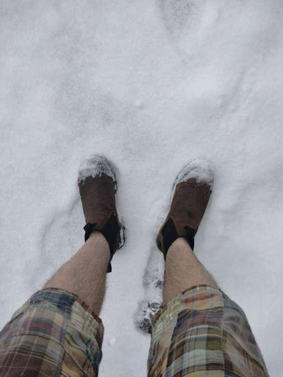
Currently 25 degrees, light snow falling, wind chill 15, 3-4 inches of snow on the ground. Still shorts weather.
 16 points
 -
Sent by mom from the koast! Of course it accompanied a partially-decipherable text message…
 15 points
 -
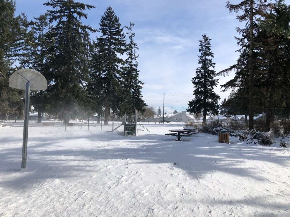
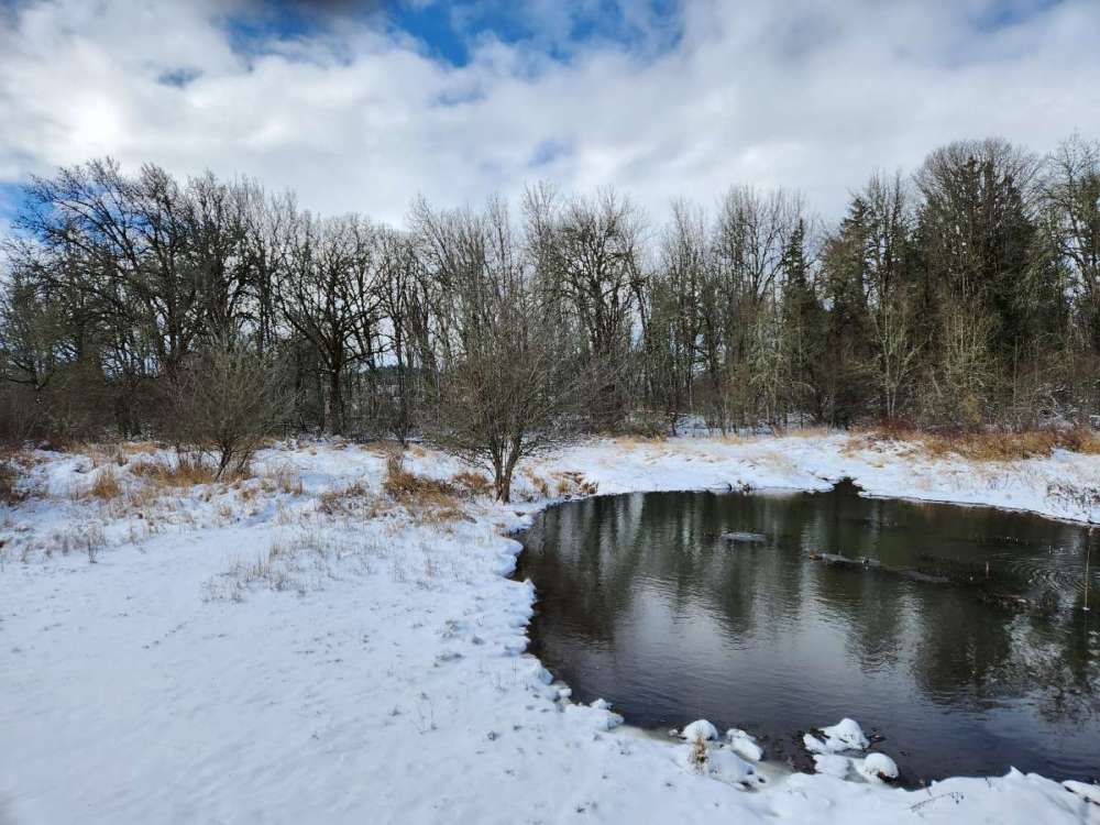
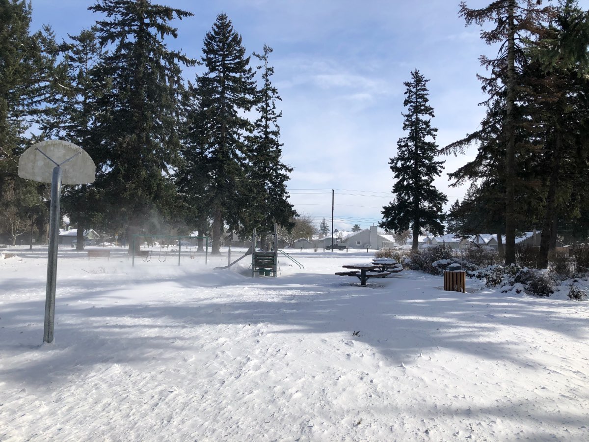
A few shots from this morning.
 15 points
 -
Guess what? Next Friday-Saturday, anafront situation. More heavy wet snow. 24hr snowfall totals 4 AM NEXT Friday to 4 AM Saturday PM. Wow.13 points
-
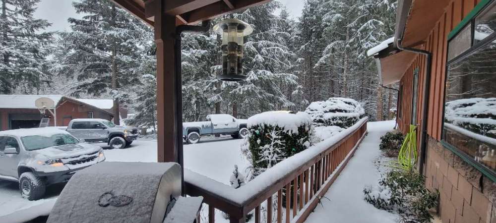
Ended up with a subfreezing high here today. Feels like a shallow win after getting shafted in the snow department. Amazing event north of here. My parents sent these pictures from Nanoose today where there was over a foot of snow.
 13 points
 -
That high of 38 at Eureka today is bonkers. First sub-40 high there since December 1990.13 points
-
This is OT but I’m observing some of the craziest thermal contrasts I’ve ever seen here. We decoupled and dropped from 80°F to 54°F fairly quick after sunset, but winds aloft are increasing and starting to mix back down to the surface. The sensor at the SW end of the property is currently reading 71°F, while the one on the NE end (which is only ~200ft away and 50ft lower in elevation) is 56°F!! I walked between the two and it’s crazy, hot spots, cold spots, etc. You can feel how much warmer the puffs of wind are compared to the antecedent air. This has happened before but never to this extent. sorry lol, just can’t help geeking out over this stuff.12 points
-
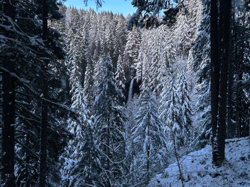
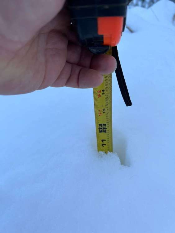
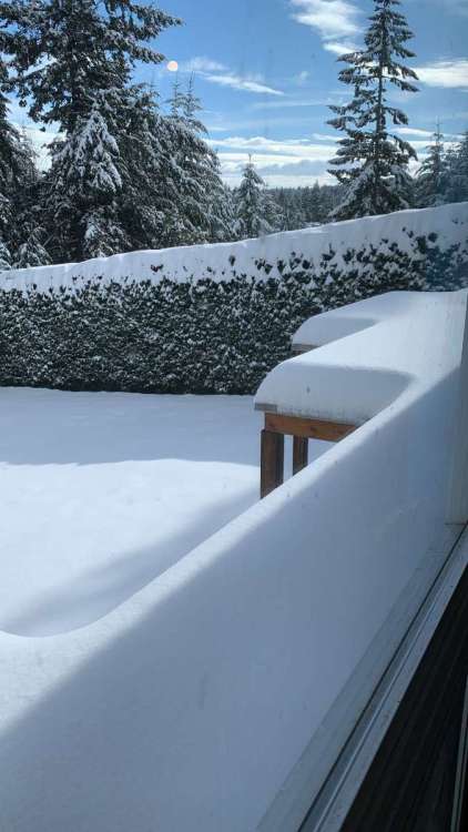
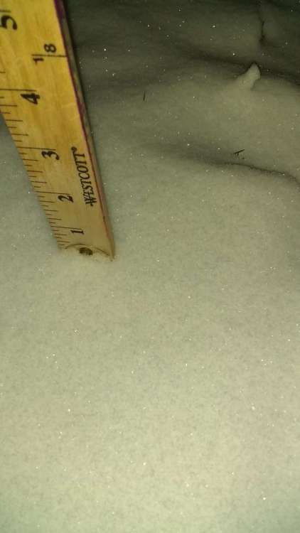
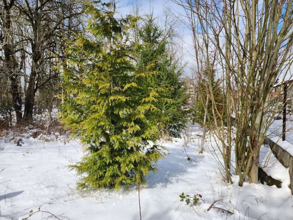
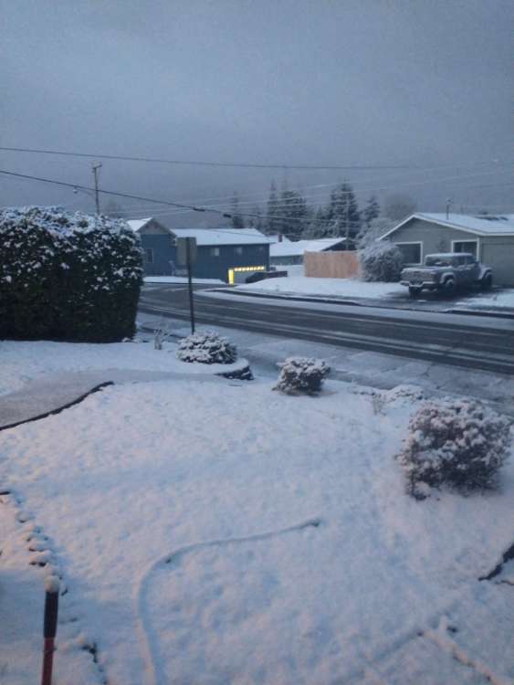
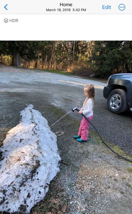
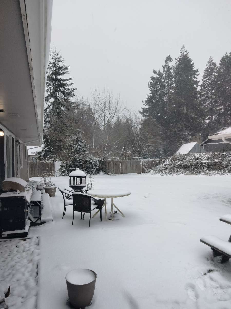
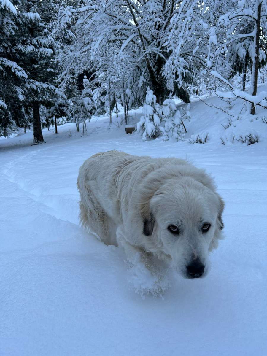
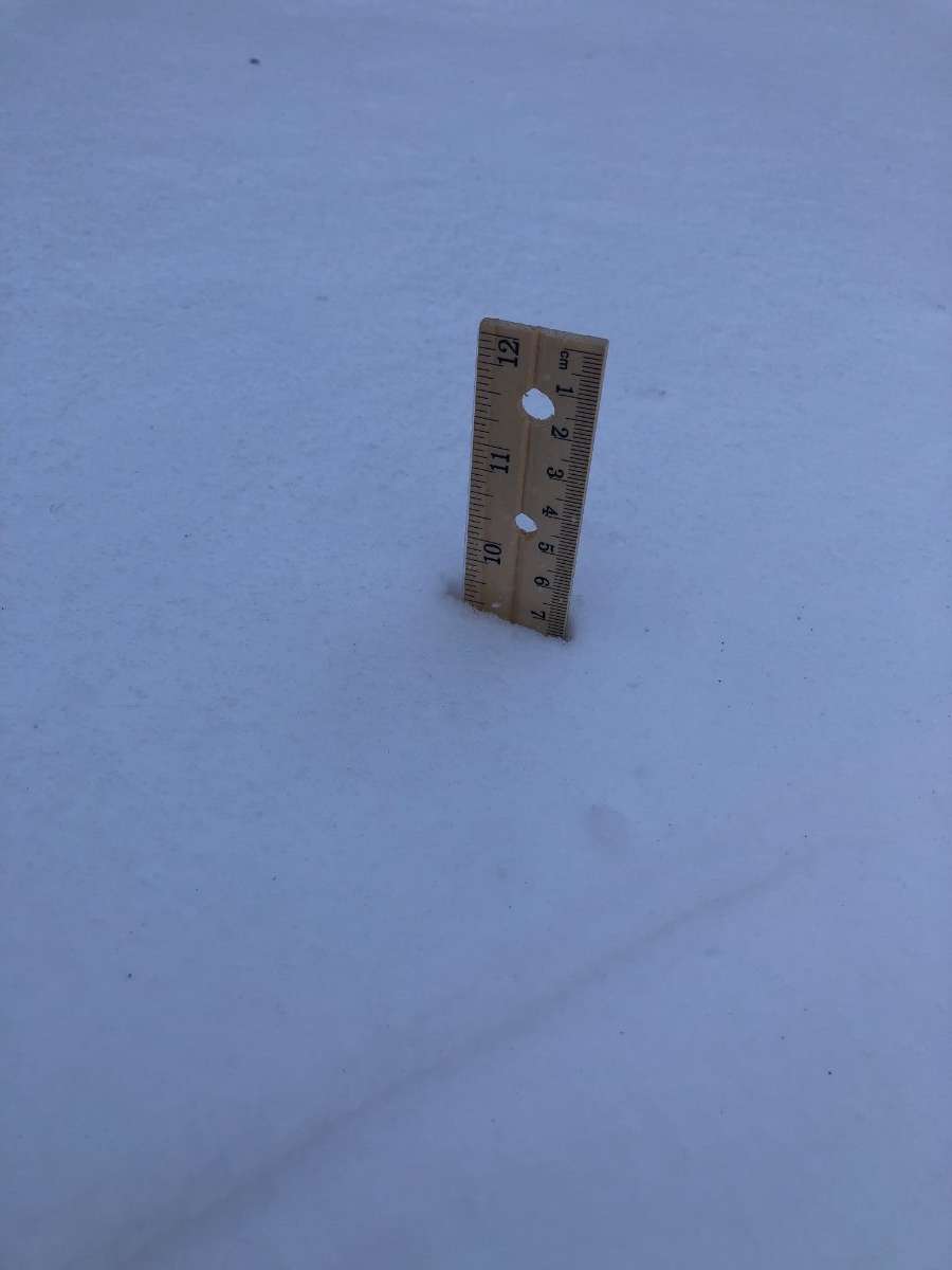
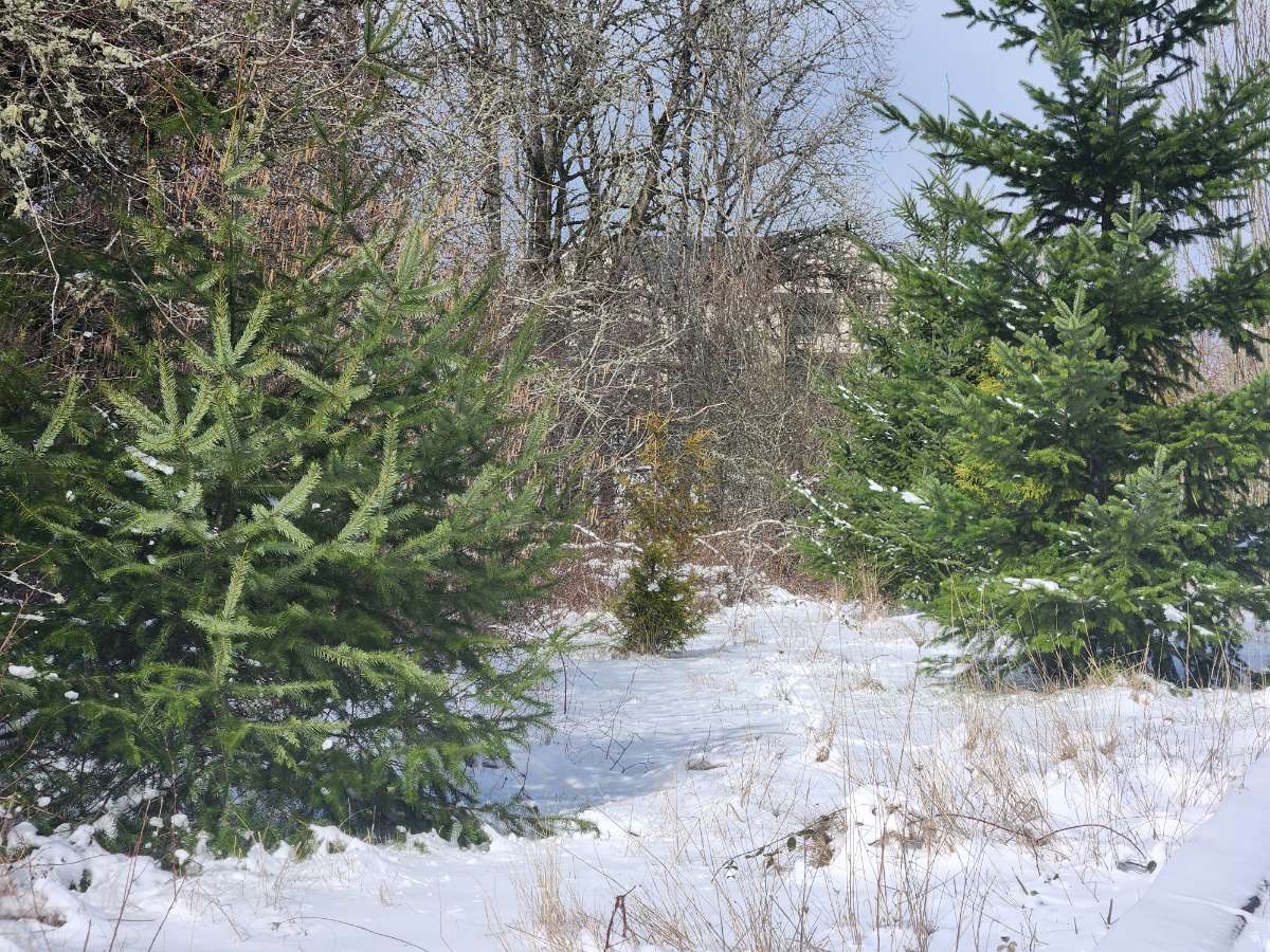
Did this get lost? Sorry, I just made an account and I don't know if my posts are public yet. At the time of the photo there were about 10 inches on the ground, and it snowed at least a few more inches after that.12 points
-
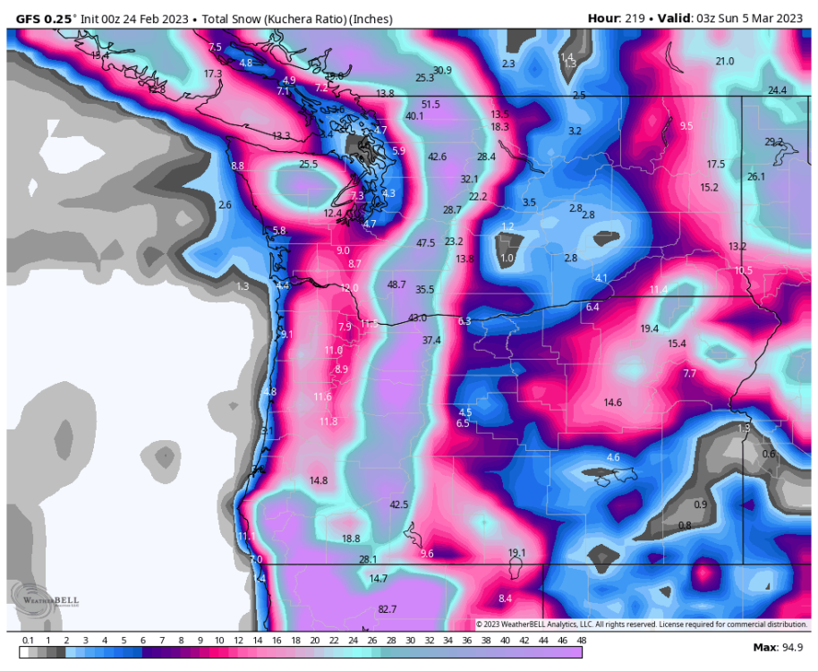
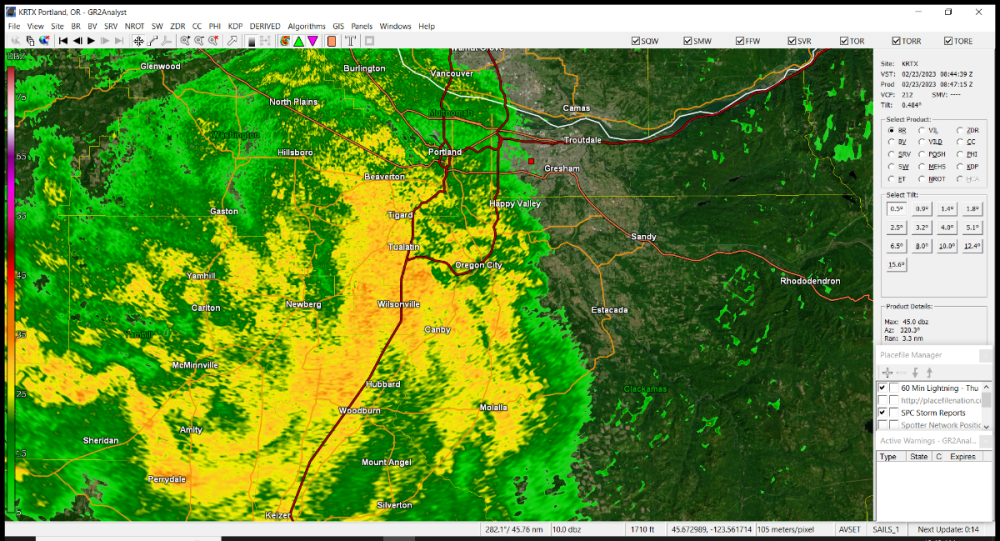
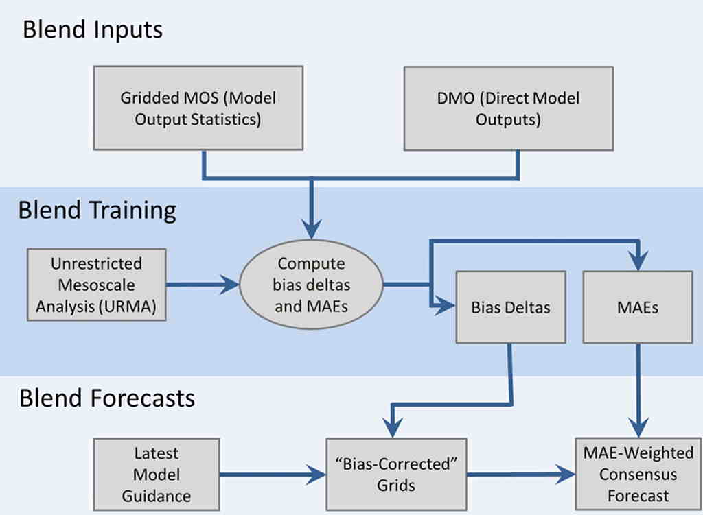
NBM is quite an interesting product! Their weighting algorithm is moderately complex and dynamic, though does has some drawbacks as we saw yesterday. For those who don't know, NBM is an attempt by NOAA to create a super probabilistic forecast model that ingests output from all the models above and outputs forecast guidance for local offices that help them to gauge the relative odds of particular weather outcomes. The 'special sauce' is the post-processing, normalization and weighting that they do based on a number of factors, but most novelly, factoring in 'bias' or deviation of the forecast from historical observations (both short and long term) to adjust relative weights given to specific model outputs. Rather than static weights, it uses a 'learning' model that adjusts weights based on a number of dynamic factors for every data product release. Here's a somewhat dated visual of the weighting algorithm: (MAE is mean absolute error). I'm not sure about the latest version released last month, but previous NBM versions have used a 6-12 hour observation window for calculating MAEs and bias deltas (large recent deviations from observed will decrease model weighting), as well as factoring in model run consistency over the previous 7 days (larger run to run variance will necessarily decrease the model weight). So a couple of thoughts. First off, NBM is specifically designed to be a nationally consistent output, meaning that the entire thing runs for the entire country without regional or mesoscale differences. This clearly is a drawback when trying to predict fairly local effects like the gorge where few models are going to have the spatial resolution to accurately model small details like convergence zones. Second, the biasing model is trained based on historical deviations, rather than evaluated skill forecasting predicted weather patterns. In other words, the bias weight will factor in how a model has performed in the last 7 days, rather than 'how does the model perform for a given set of weather features.' There is nothing inherently wrong with this approach, and given the limitations with characterizing future weather projections it makes a lot of sense, but does have drawbacks. Specifically, with a pattern change like we saw yesterday: the forecast skill in the previous 5 days has little correlation to the skill forecasting the next 24 hours. So, why the lack of skill with the storm last night when some of the models did show big snow? I think a couple of obvious reasons. First off, most of the models flipped late to show big snow. This would have the effect of increasing the observed model variance (or uncertainty), leading to a lower weight in the NBM. Another factor was likely data ingestion. This is a national model, and for most of the country, input data is very good because weather patterns are moving over lots of land based sensors which can provide the core observation data used to weight the model. For us on the west coast, this is a bug not a feature, because the Pacific Ocean is a big data dead zone (largely we don't have much idea about the actual temp/pressure profiles except for a few buoys). So, when models flip at the last minute like they did last night, it's usually a data issue - better data has been used to initialize the models as weather features get closer to shore. But for rest of the country where weather data is consistent and good, last minute changes are an indication of model inconsistency rather than better data = poor model performance. Overall, I think NBM is a good product and provides a nice additional tool for NWS staff to tailor their local forecasts. But, like we saw last night, without understanding its limitations in specific scenarios (like we have with marginal snow events) the NBM can provide overly confident forecasts when in fact the confidence is decreasing. I think there's a lot of promise to this approach (and in fact NOAA is borrowing a lot from what commercial folks are already doing in big adaptive model development in finance and epidemiology): most obviously is another layer that weights model forecast based on prospective mesoscale patterns and allows for dynamic local weighting.
 12 points
 -
Managed to make it up to 30.5 so far. Roads here in BG are mainly dry, even side roads. Driving into Vancouver they get snowier and ice covered. This morning's drive in was fun!

 12 points
 -
@Meatyorologist laid it out perfectly ahead of time, and he's like 1512 points
-
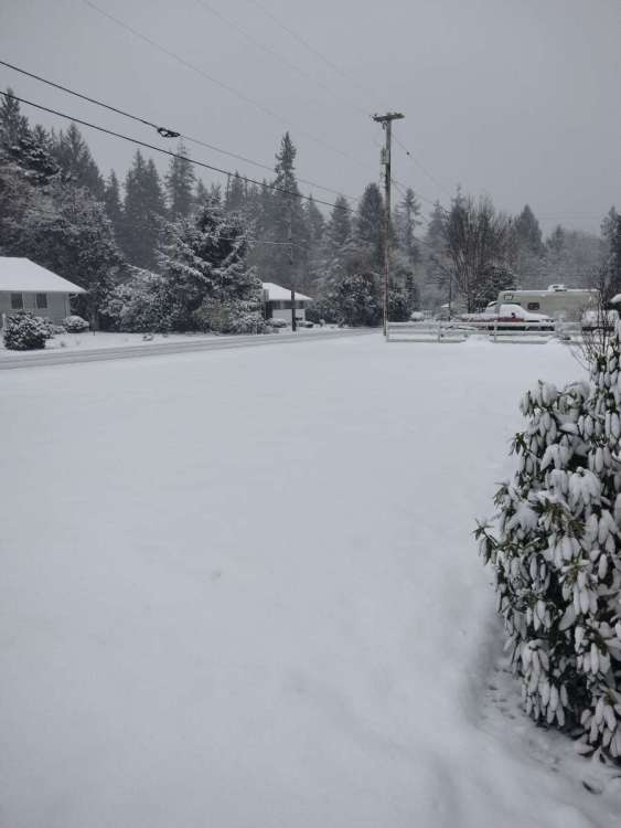
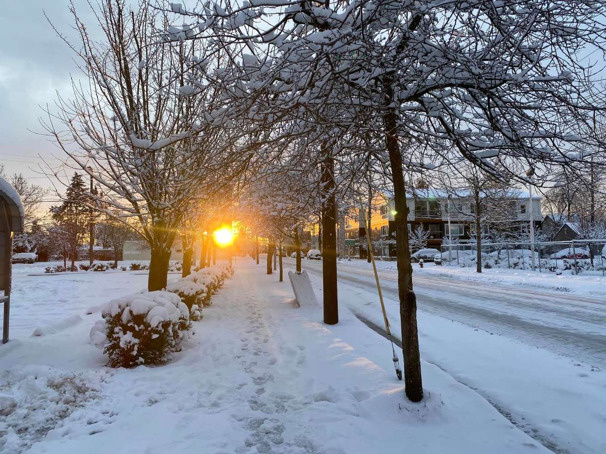
Stunning morning here. Partly sunny and 25 degrees after a low of 24. East winds coming in gusts of 35-40mph and swirling snow everywhere. Haven’t gone out and measured since last night, but it looks like we ended up right around 10”, maybe a little more.12 points
-
Wow heavy snow and 23.9 degrees! About 2.5 inches on ground. Awesome event.
 12 points
 -
D**n the sky after a snowstorm is so pretty.
 12 points
 -
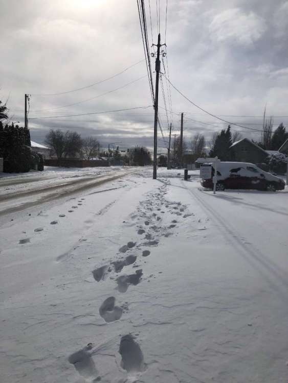
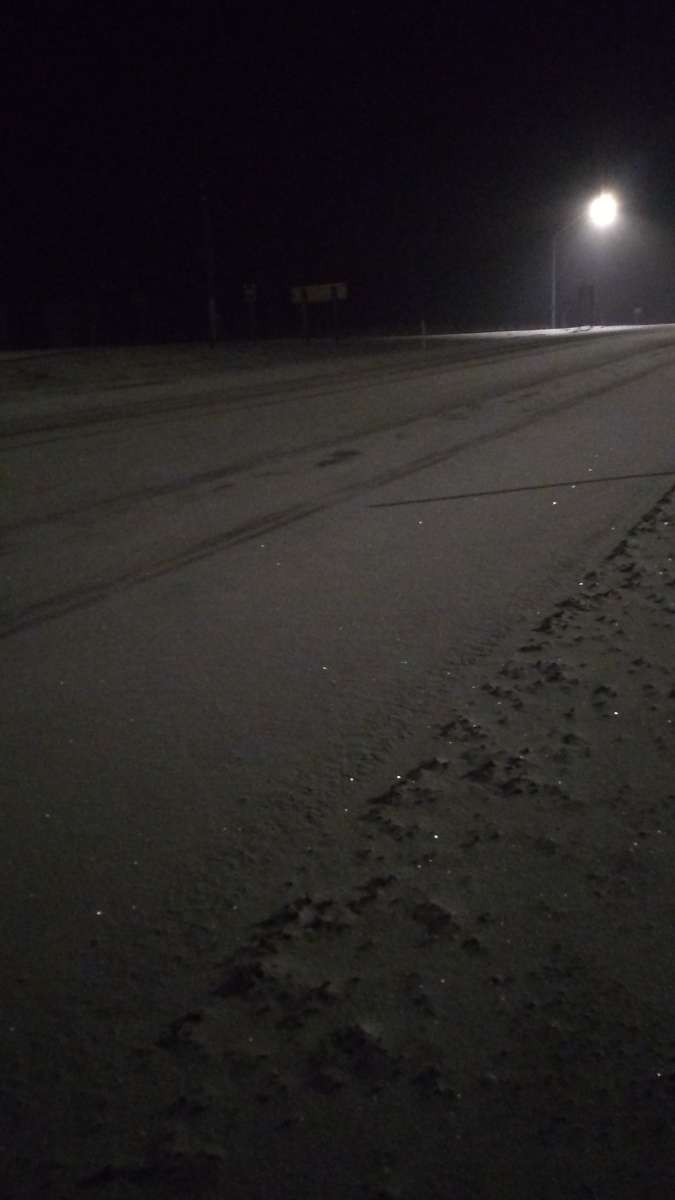
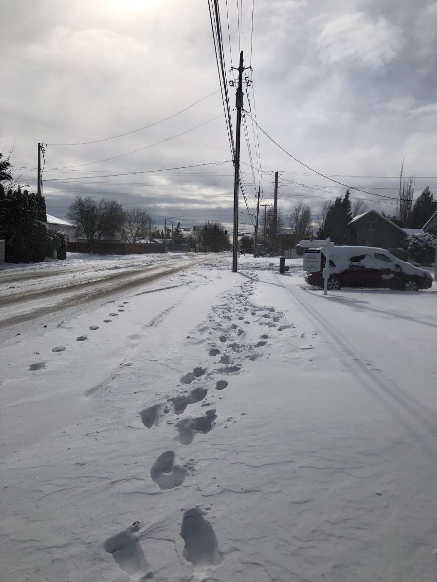
White on the roads tonight. I left my house to go to Lewiston at 5:20pm and everything was clear...even a bit sunny. When I finished my mtg there around 7:30, it started to snow. The wind was making it tricky to see past Clarkston, WA and Alpowa summit was covered in new snow. Not too deep. But very hard to see the lanes. Thank goodness for rumble strips. I took a break at the summit for a few minutes and drove behind a snowplow the next twenty or so minutes home. A benefit of living on a state highway for sure. This was not in the forecast and it was a surprise but also a bit of a white knuckle drive home. Took a lot longer than normal and you could not see the lanes before it was plowed. Wind was blowing from the west too. I have .20 of new snow just in the last two hours or so. Second picture was Alpowa.
 11 points
 -
Bona fide cold air to work with late next week. Wow!11 points
-
NWS did terrible. No winter weather advisory, until the snow started, then a winter storm warning way after the snowstorm has began east metro. Many people there got stuck during the day. Then the winter storm warning ended before the heaviest snow arrived west metro, which basically brought blizzard conditions. There were definitely 2"+ hour rates in those bands.11 points
-
11 points
-
27 and gusty out there with lots of blowing snow. Took a walk a little bit ago.

 11 points
 -
From a friend in Arcata, CA (in the hills, not around Downtown, but still):
 11 points
 -
11 points
-
This is better than heroin
 10 points
 -
Looks like PDX made it! 31 for a high with an afternoon high of 30. Crazy.10 points
-
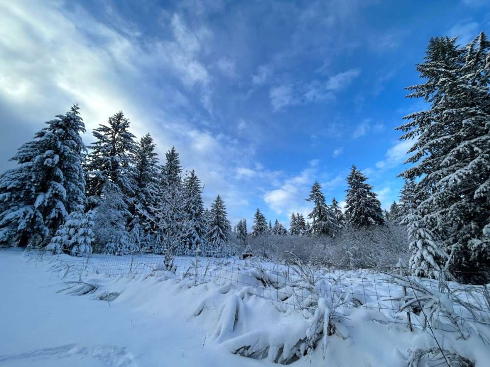
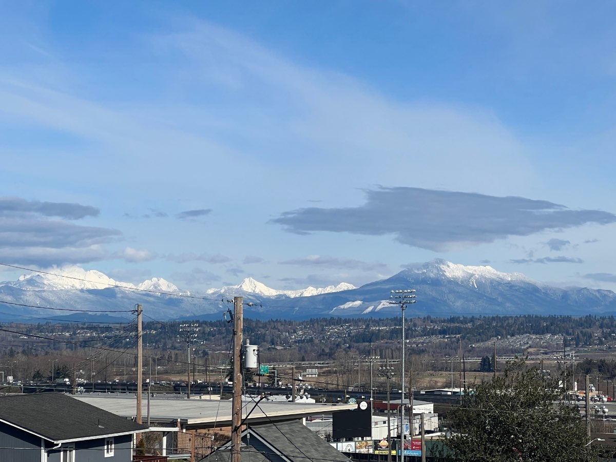
Cold but beautiful sunny day.. Cascades showing off
 10 points
 -
Went on a walk. Almost a ground blizzard at times, wind blew off all the snow from roofs and trees. Very nice outside though with the sun out and temps in the mid 20s.

 10 points
 -
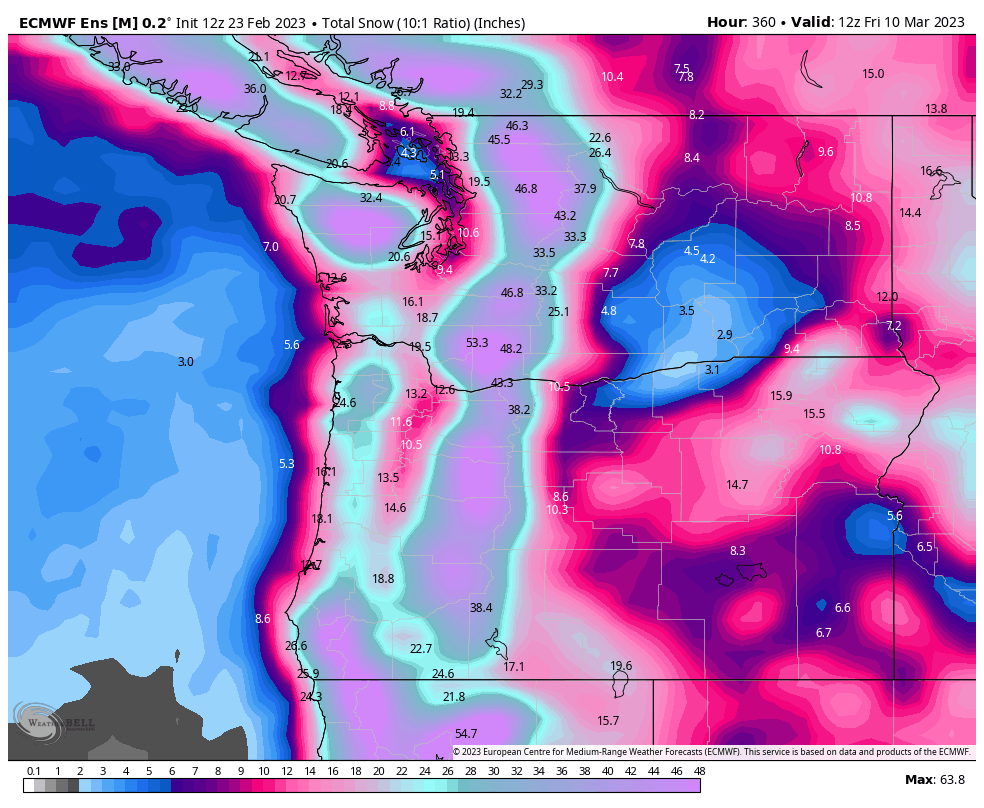
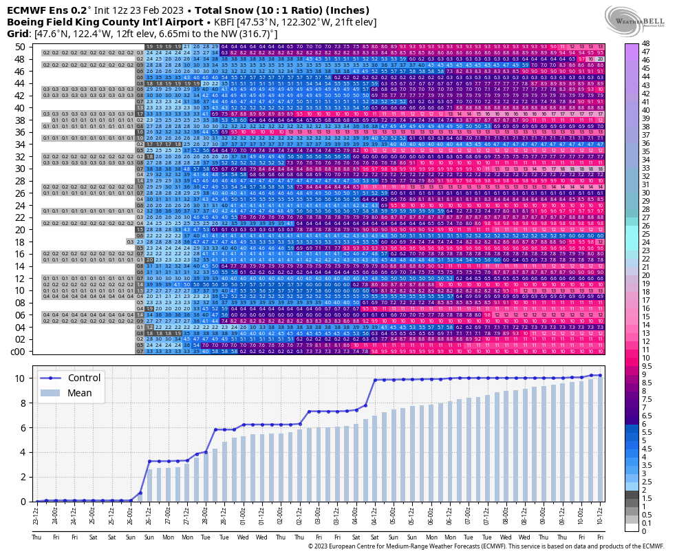
Can’t ask for much more than this from the EPS mean. Incredible:
 10 points
 -
Forecasting is hard. I give the NWS and local mets the benefit of the doubt most of the time. When it really matters, you absolutely have to meter your thoughts/comments based on one extreme or another. Coming out and just throwing wide ranging scenarios around isn’t something you can do and maintain integrity to the masses. The thing that bothers me about the NWS, especially of late, is a complete lack of discussion of meteorology at times. This storm had a lot of moving parts and except for one somewhat universal hiccup on Monday, models were locking on there being a lot of solid dynamics in play. No deference to that whatsoever in their discussions, just more percentages. As for this storm in particular, the lack of any highlights for the northern valley was hilariously bad, but also absolutely necessary for a big event. That jinx is absolutely scientific and will remain so. That said, it was pretty bizarre. Very attenuated and pulse-centric, which made timing and placement of areas of convergence really difficult.10 points
-
I'm going to legally drink away the memory of this post10 points
-
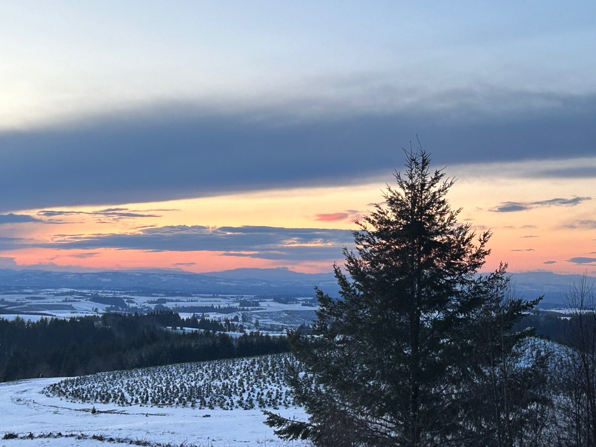
From Coos County on the southern Oregon coast.
 10 points
 -
I had a good feeling about that band that was developing around Roseburg this evening, and it has grown together with all of the banding in the Willamette Valley too. This is astounding and magical.10 points
-
Wow what’ve I missed? Sounds like a good one out there.10 points
-
Ended up with a 29/24 day here. 29 was the midnight high and afternoon high. Partly cloudy early on then blue skies. Gusty east winds all day with ground blizzard conditions at times. Just a stunner of a day and the coldest I have ever seen this late in the season. Down to 24 already, before the sun is even down, so should be improving on the low by midnight.9 points
-
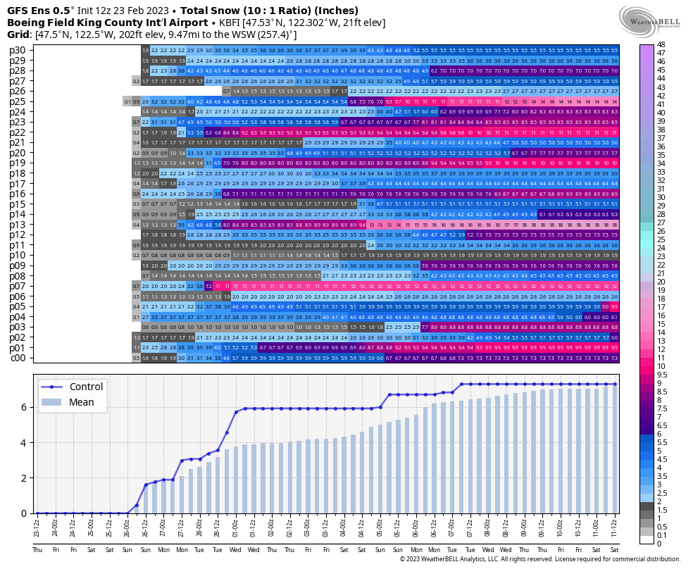
So EPS is snowier now? wtf?

 9 points
 -
Yeah I had both nearly 80 degrees and snow still on the ground!
 9 points
 -
4.7 inches! But what's impressive is the current tenp of 23.
 9 points
 -
Wow. Precip enhancing further with more moderate snow about to impact locations east of I-205. Remember, this area has already had 8" to 1 FOOT of snow! BRING IT! C'MON!!!!
 9 points
 -
Snowing moderately here now and 29 degrees. Not coming down as hard as the radar would suggest, probably because it’s starting to dry out from the east wind. Still beautiful and will stick around for a little bit.9 points
-
Really sustained event. We’re going on almost 24 hours now and this is the most ferocious impulse so far.9 points


This leaderboard is set to Vancouver/GMT-07:00