
Leaderboard

.thumb.jpeg.e3014abf99ef08a9f9ac2c0cd31b485b.jpeg)


Popular Content
Showing content with the highest reputation on 02/25/24 in all areas
-
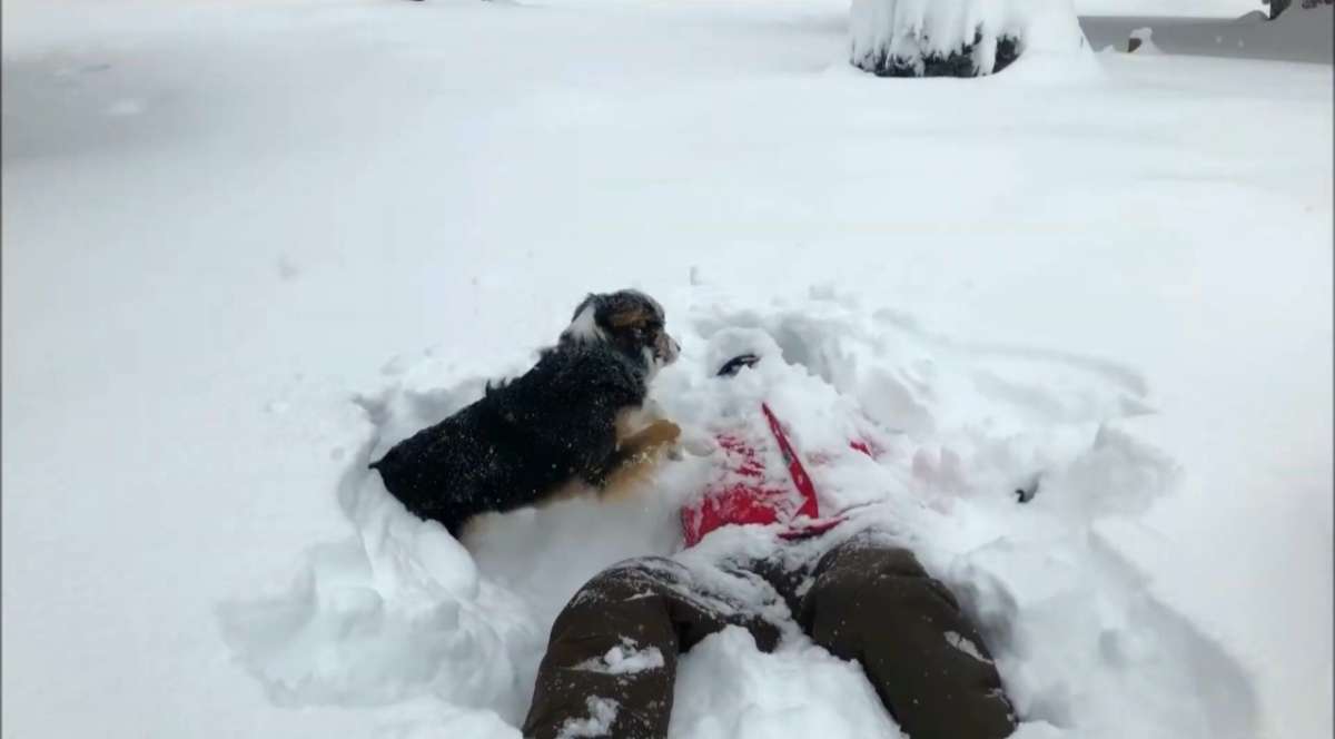
Y’all unhinged af.18 points
-
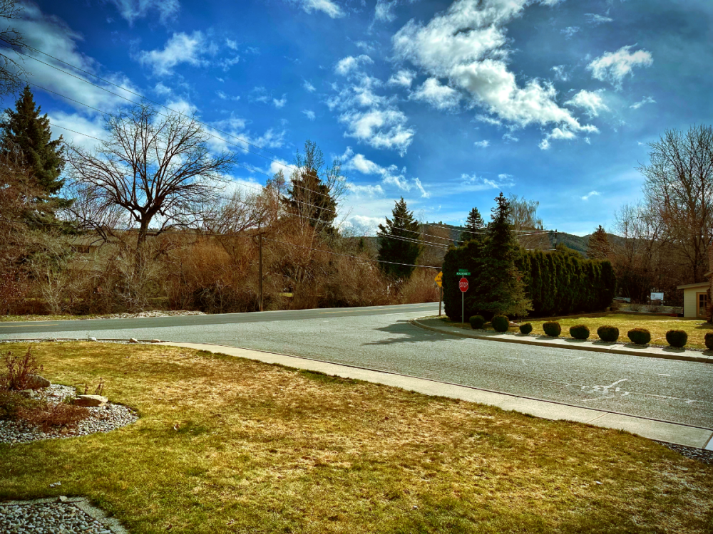
Beautiful day in my new home, Cashmere. 59° too, neighbors saying it’s been a very odd winter. Thanks El Niño! Definitely looking forward to next winter
 17 points
 -
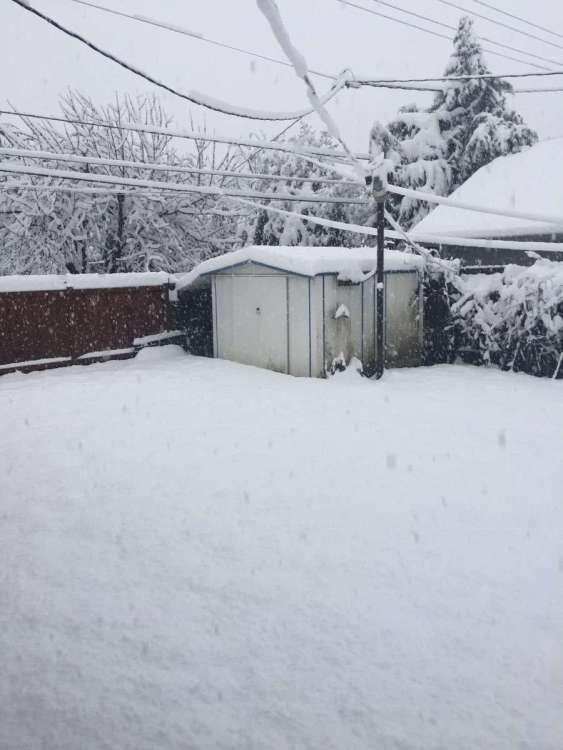
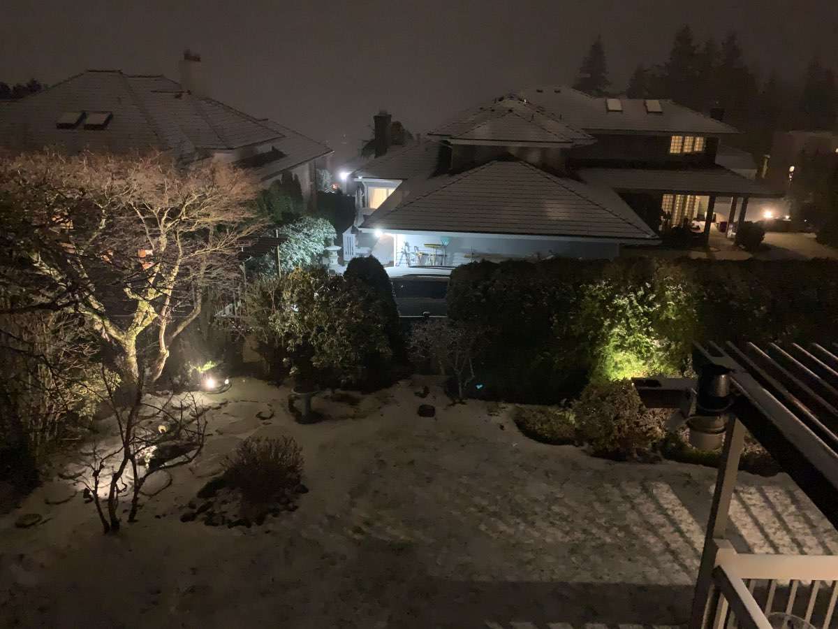
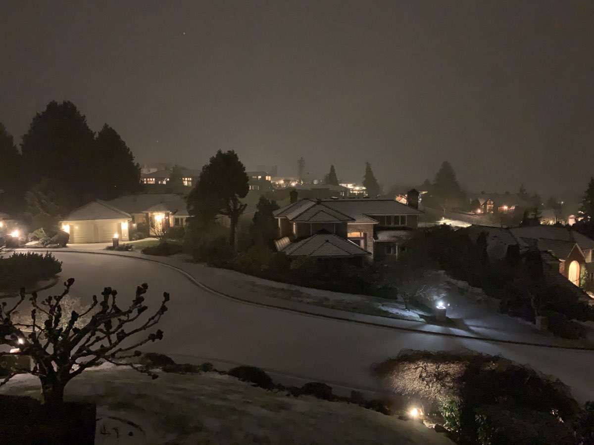
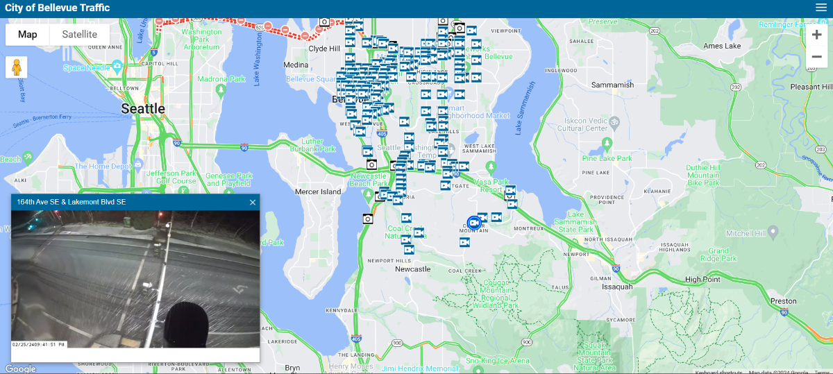
Snowing the PSCZ here in the higher hills of bellevue

 15 points
 -
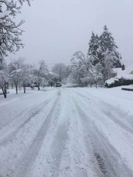
37 and snowing.13 points
-
13 points
-
Of all the folks on here to troll, Snowmizer is NOT one of them, he's a good guy and is one of the few who stay out of the drama BS that is a part of this forum13 points
-
12 points
-
Dumping snow in Port McNeill near sea level in Northern Vancouver Island:12 points
-
36. Snowing harder.11 points
-
threatening violence on a wx board. you seem stable Lighten up. It was nothing more than playful ribbing by Snownerd to start. Not everything has to be end of the world serious, you dig?11 points
-
You’re giving people the reaction they’re looking for by saying stuff like this. Not trolling you at all by saying this im just saying don’t feed into it.11 points
-
I asked nicely not to be called bro. Sorry if my response offends other members.11 points
-
I can’t believe how dead this place is. More people should be excited about Andrew’s incoming snow.11 points
-
yasss. webcam around 800ft
 10 points
 -
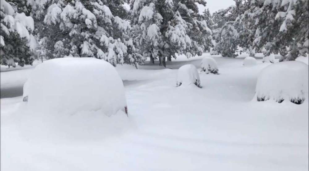
5 year anniversary of the biggest snowstorm of the 21st century for Springfield.
 10 points
 -
NBM looks good for tomorrow evening. Obviously given how intricate the situation is going to be it's going to be a watch the radar as it's happening situation. C-zones are notorious for having surprises on placement, amount of precip, and duration.10 points
-
I hope the NAM isn't full of it with this.9 points
-
Went down to Chambers Bay to check out the wave action. IMG_9071.mov
 9 points
 -
How about nothing?9 points
-
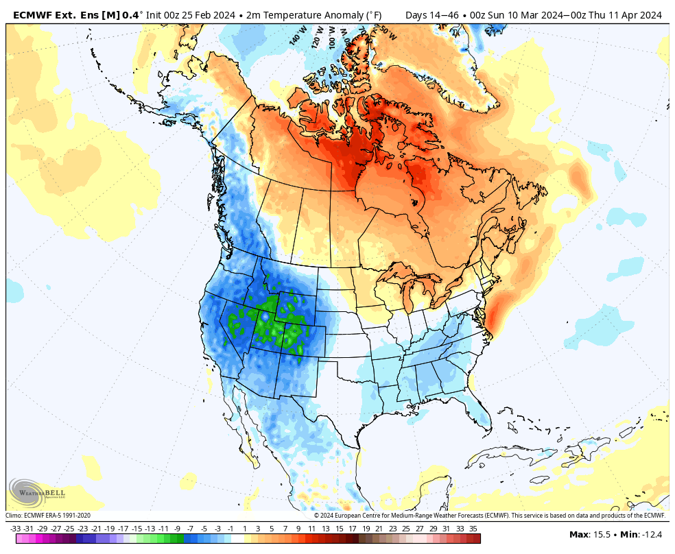
Long range eps now has most of spring with below average temperatures and goa ridging.

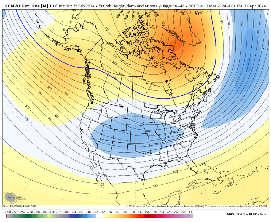 9 points
 -
Please don't call me "bro heim." "Bro" is acceptable, if gently discouraged.9 points
-
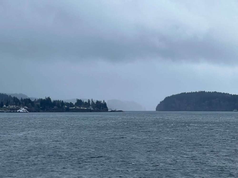
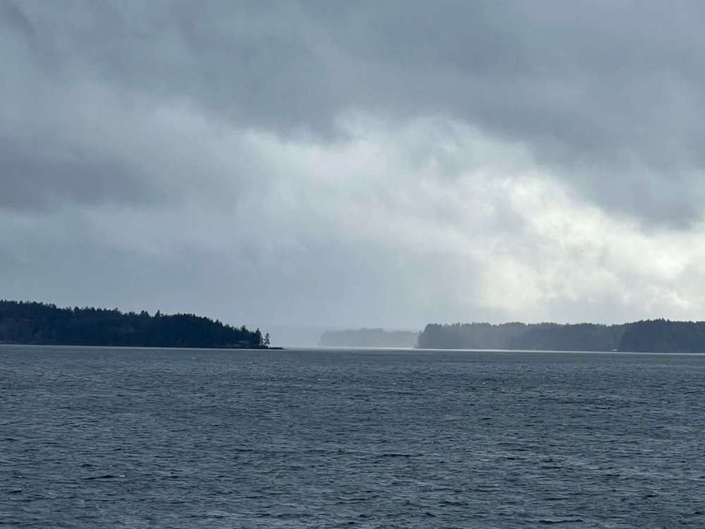
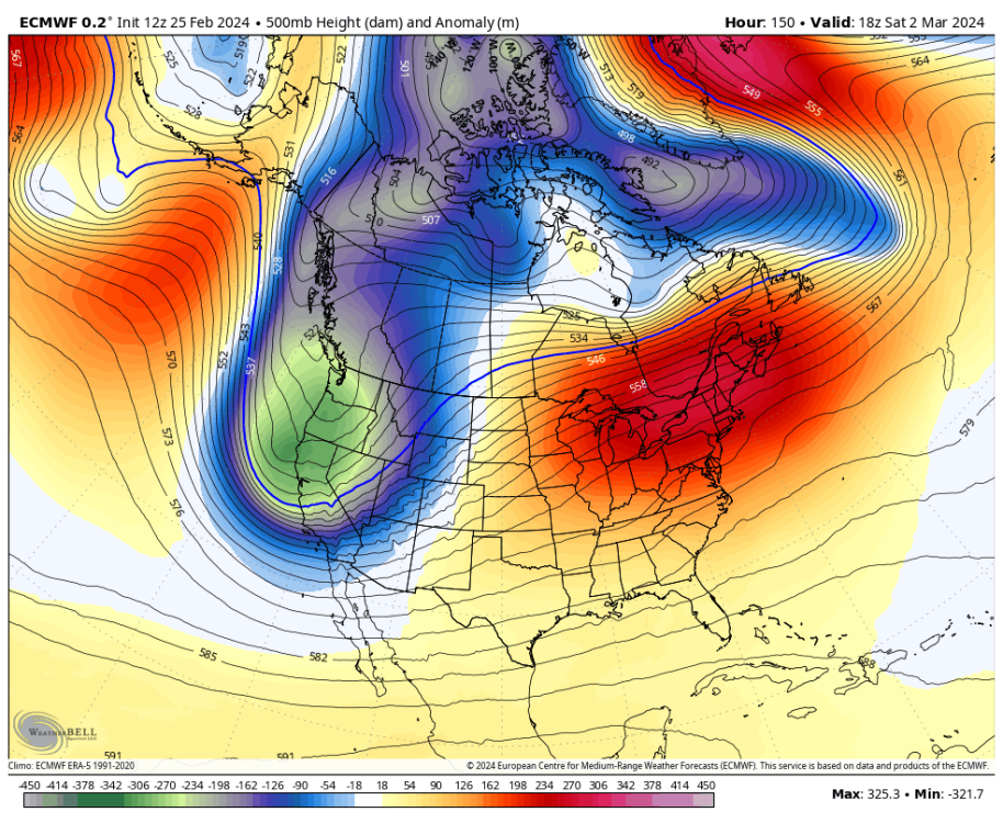
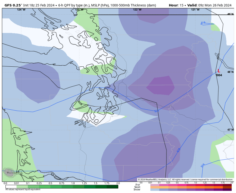
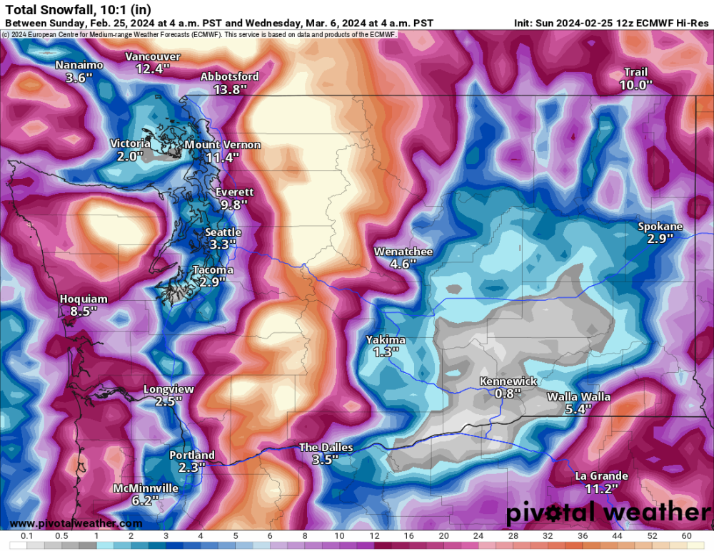
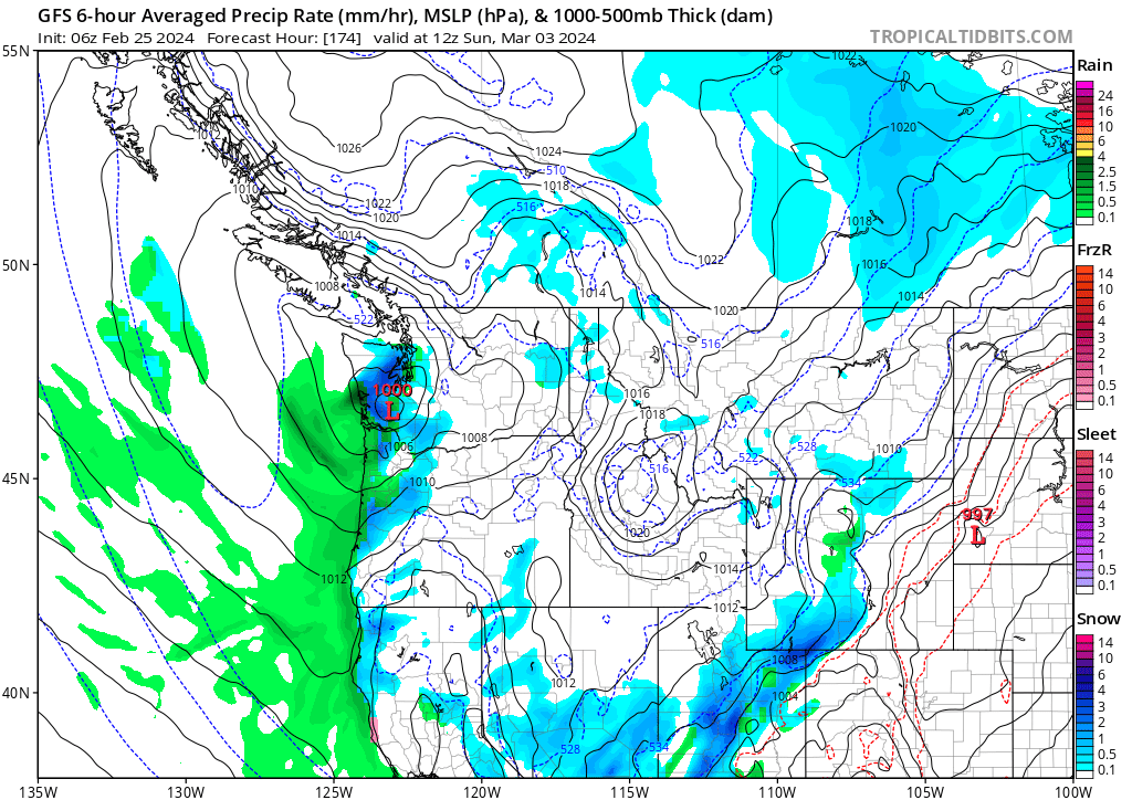
Here is a beautiful image of the storm coming into the PNW
 9 points
 -
Rain/snow mix here, 38F8 points
-
Mixed precip in Eastgate area of Bellevue right meow. 38 degrees. NAM is going to be correct.8 points
-
The 3km NAM is the driest mesoscale model by far. It doesn't believe in stratoform precipitation at all, which makes it useless during the winter and pretty bad for stalled convection/latent heat machines such as PSCZ's.8 points
-
The HRRR has snow in the Seattle area tonight and then again tomorrow evening. Better chance of stickage tomorrow evening when it’s a bit colder. Would love it if someone gets thundersnow.
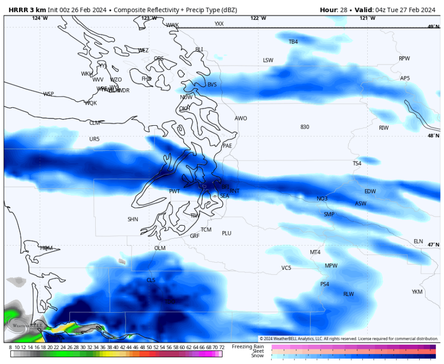 8 points
 -
Snow map for the model I just posted. Obvious this zone will be south of normal.8 points
-
March snow! 32 or less around ps at this frame.
 8 points
 -
Nice mid range change.
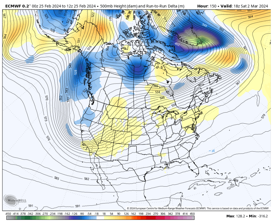
 8 points
 -
Wow this is nice.
 8 points
 -
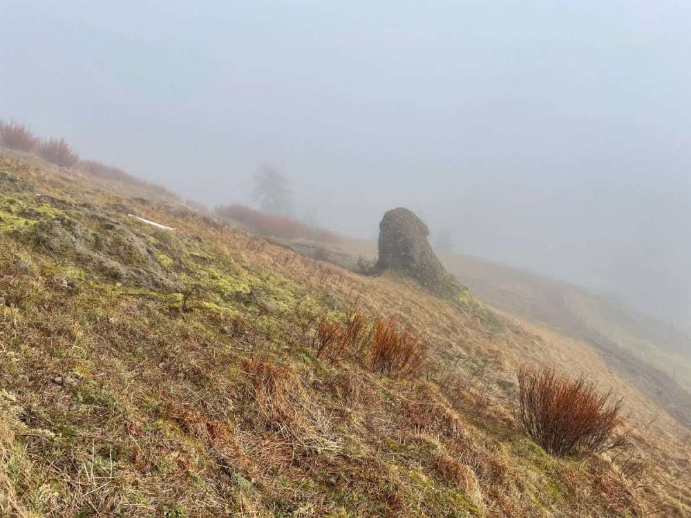
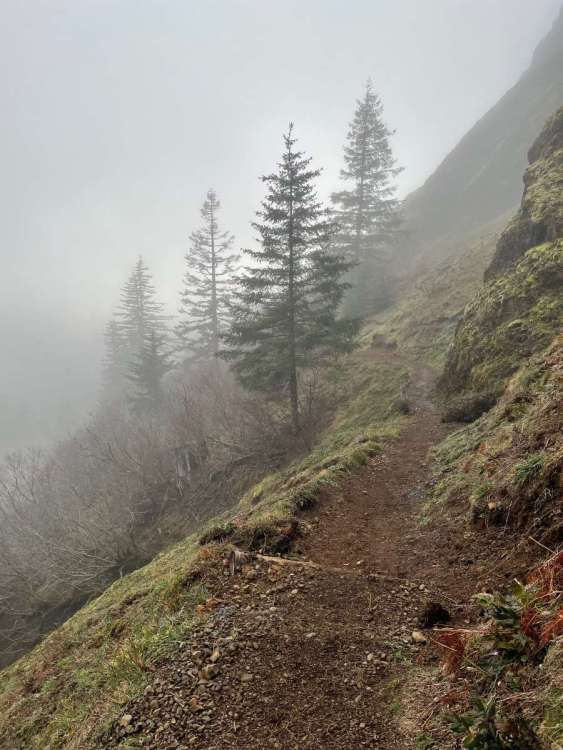
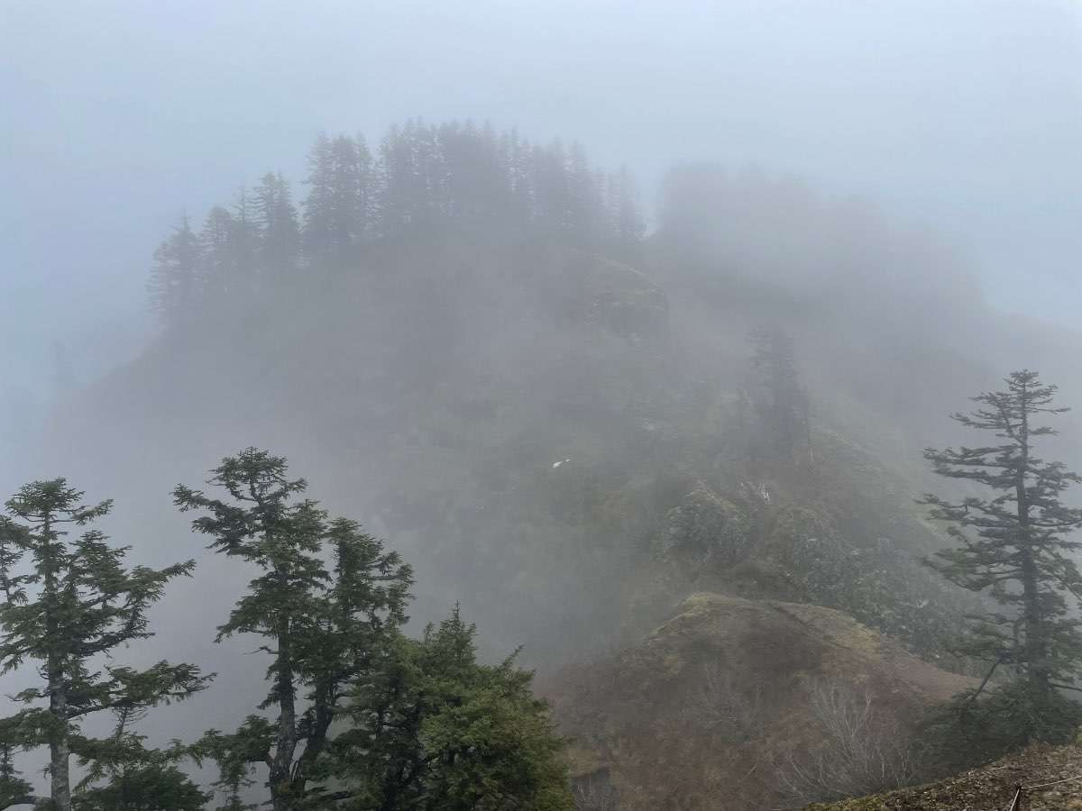
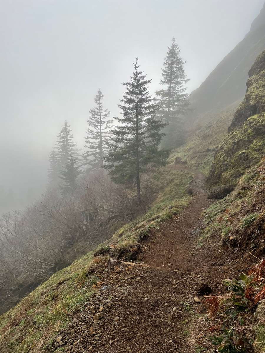
Some snaps of Saddle in all of its gloomy glory. Cloud deck was around 2,500ft or so. Temps were in the low to mid 40s and winds were relatively calm.
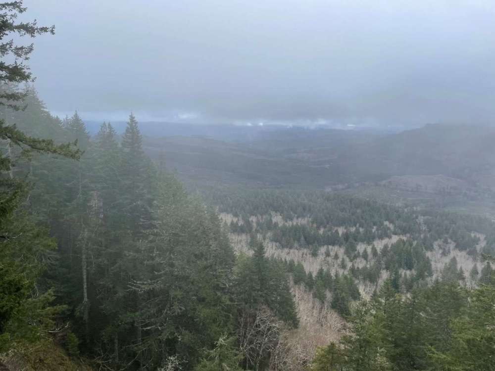
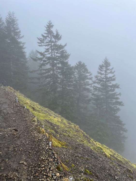
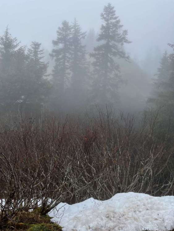

 8 points
 -
Can't believe it's already been 5 years, it felt like it was just yesterday! That snow event dropped close to 3 feet on us, which is the biggest snowstorm we've seen in the 26 years we’ve lived in the area!
 7 points
 -
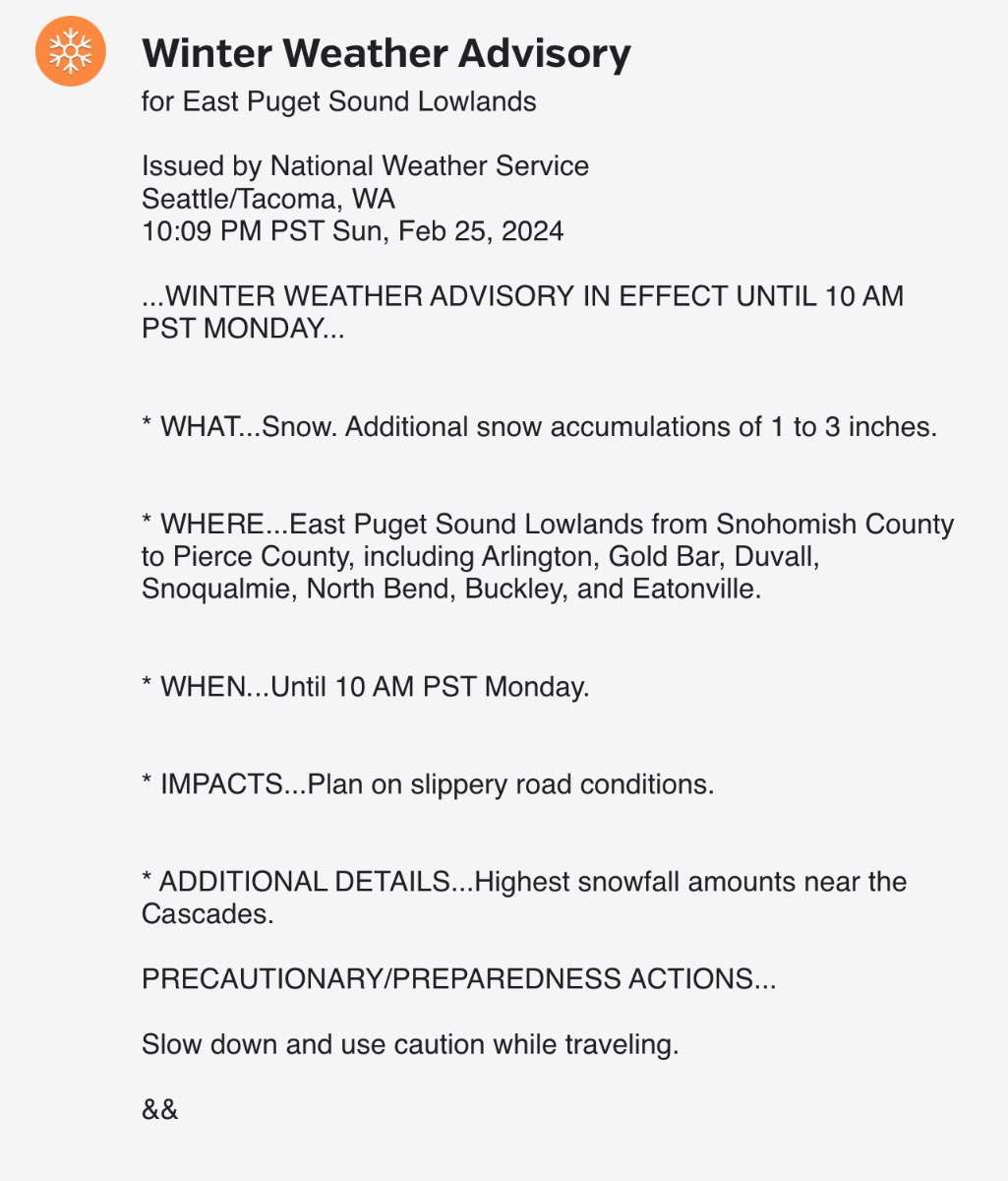
WWA just posted for the EPSL.
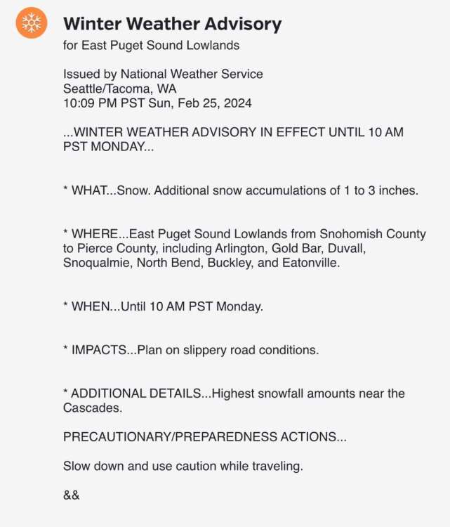 7 points
 -
Next weekend looks very chilly for the first week of March.7 points
-
HRRR looks amazing for Washington County and the Portland area. Bands of heavy snow from Monday afternoon to Tuesday morning with temps dropping to 32/31. Drops 5" of snow here7 points
-
I'm sure the original comment containing "bro" had no ill-intent behind it. I've more often than not seen it used in friendly banter. It's not the most professional way to address someone but it was a pretty common phrase at one point in time.7 points
-
Going to Western Ne. for a graduation (not my choice) in mid-May and then on to Estes Park, Co. and the Rocky Mountain National Park (my consolation) for several days afterward. Getting in a horseback trip up into the Rockies while we are there too. Looks like there will still be plenty of snow in areas to say the least. Picture is from the web. Looking forward to posting mine though.
 7 points
 -
You can call me AL7 points
-
Pscz gets going by late tonight on gfs. I’ll be seeing if this verifies.
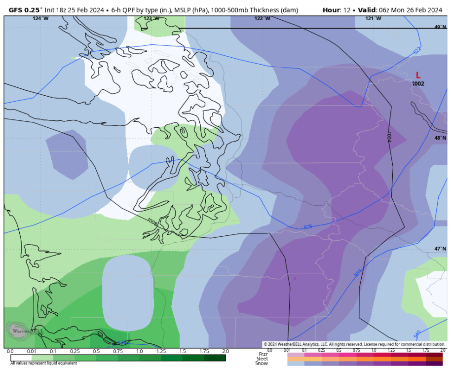 7 points
 -
Phil must still be searching for that next El Niño…7 points
-
Loving it.7 points
-
We’ll see for the north Cascades into BC, but I’m feeling good about the Washington Cascades south of Snoqualmie and the mountains of Oregon.7 points
-
It got really quiet all the sudden!
 7 points
 -
Hey FUKK you punk, come say to me face, I will give you my address.7 points
-
The NAM is better for King County Monday evening than the 0z. Looks like the area between North Seattle and Tacoma is in the possible range according to a blend of the models.7 points
-
6 points
-
wILL TReNd norTH6 points
-
Again? Wtf has oregon won this winter, over 2+" of sleet and zr for most of the willamete valley? I wouldn't call that winning.6 points
-
Thursday evening is starting to look really nice for Puget sound for more organized snowfall.6 points
-
@westcoastexpat - an old EC friend from my Shaw days once told me that there were apparently some federal laws on the books about misrepresenting professional charts that could endanger the lives of others and that some unlucky bastard in Alberta had been charged over sharing misread map in the heart of hail season. Just say the word and with the backing of the professional community, we can ban these kinds of maps from being shared by the uneducated.
 6 points


This leaderboard is set to Vancouver/GMT-07:00