
Leaderboard


Popular Content
Showing content with the highest reputation on 12/25/23 in all areas
-
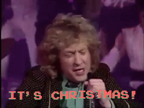
Well. I'm alive. Merry Christmas everyone!17 points
-
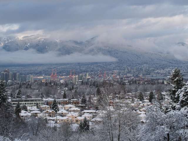
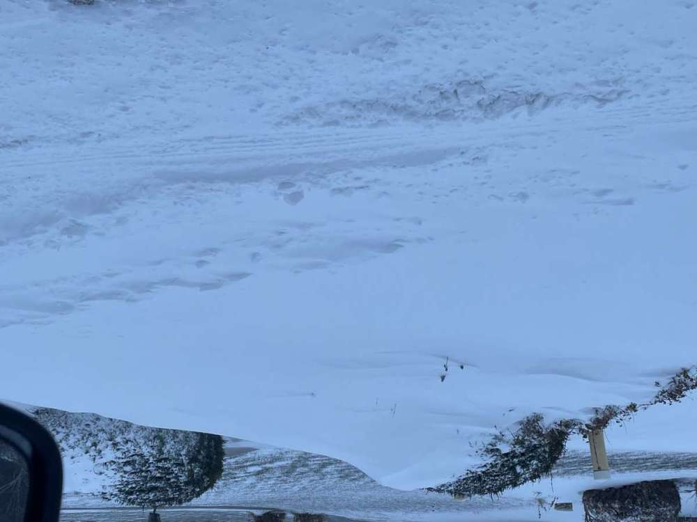
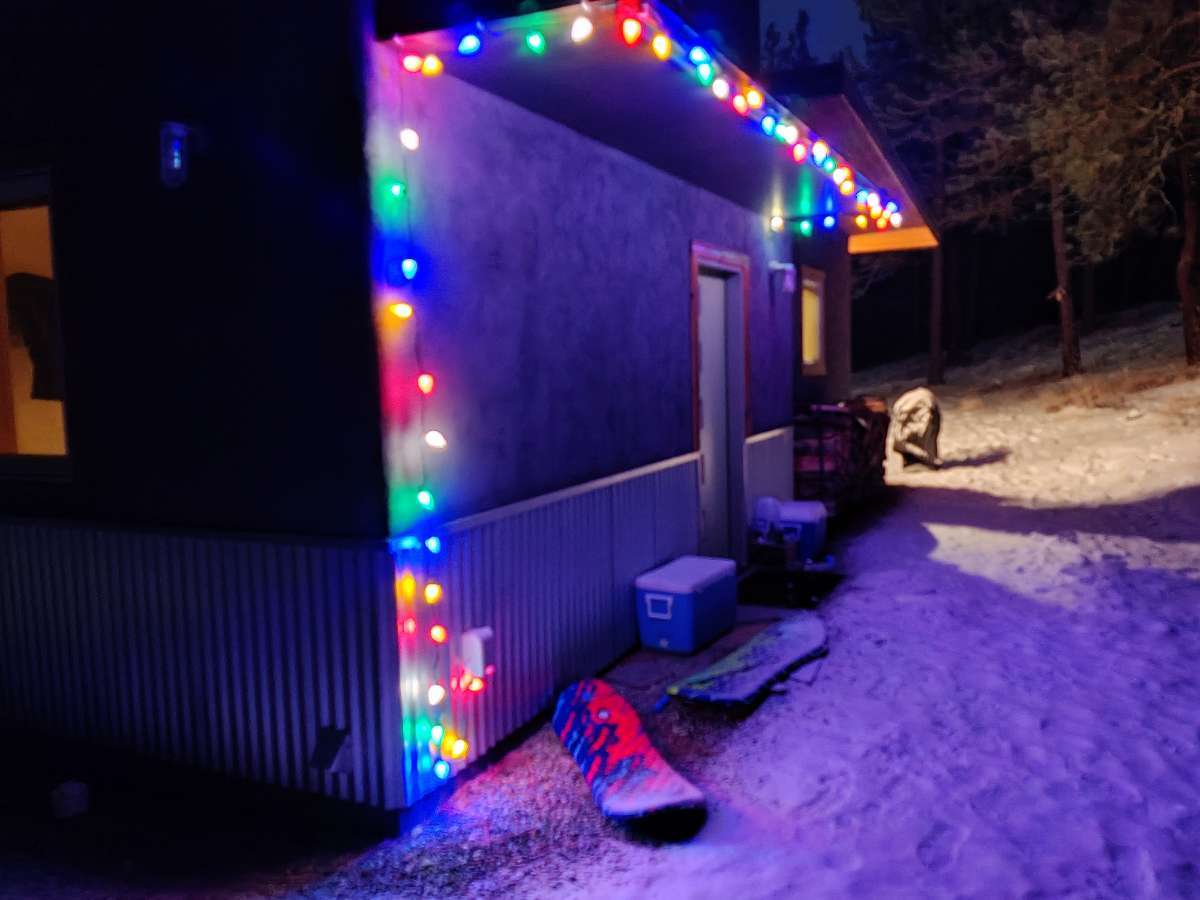
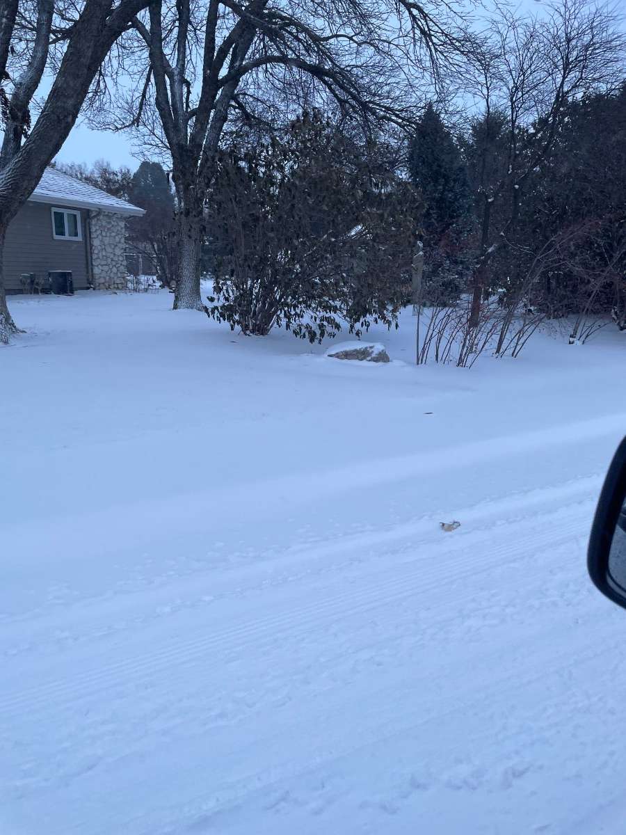
White Christmas streak continues! I am at my moms in Fernley Nevada and they picked up a dusting over night. Nothing in Tahoe so I lucked out. Merry Christmas!
 14 points
 -
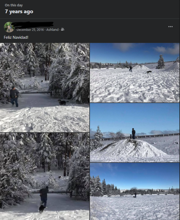
On this date two years ago and six years ago.

 11 points
 -
Holy crap it's snowing! Not sleet, not graupel, not freezing rain - just plain ol wind-driven snow! Woohoo!!11 points
-
11 points
-
Wishing you the very best visit from Mr Hanky10 points
-
9 points
-
It’s beautiful outside this morning! A Christmas Miracle courtesy of Mother Nature. Unfortunately it won’t last long here as the dry slot is already approaching… however seeing the ground covered in white on Christmas morning is extra special.
 9 points
 -
9 points
-
From our family to yours, I want to wish you all a Merry Christmas! My to all of you will be a PNW Arctic Blast and regional snowstorm in about a month from now.
 8 points
 -
A throwback from 12/22/08 near Silverton, OR.


 8 points
 -
Phil is trying to give us a lump of coal. It won’t snow again until @TT-SEA climbs Mt Si and sacrifices his most prized possessions on an alter to Baal. The smell of all that cold hard cash burning will decouple the Rosby Waves, tank the GLAAD, and prevent mothers against drunk driving from operating their overnight sobriety checkpoint. This dovetails with a descending Walker Cell which corresponds with the coolest sounds from Motown since the late 70s and will finally bring arctic air to the PNW!8 points
-
8 points
-
Merry Christmas from Winthrop. Just over half an inch this evening. Hoping for a bit more in the next few hours. It's not much but I'll enjoy it.

 7 points
 -
7 points
-
Don't know about that one... Despite KSEA's climate warming by ~1.5F, our average annual snowfall has increased by a few tenths of an inch from the 1981-2010 normals. I think the logic behind what you're saying is that since most of our snowfall occurs between 32-35F, marginal increases in temperature will boost snow levels in the region (that are often already tenuously balanced around sea level) by hundreds of feet, leaving millions with rain or unproductive wintry precipitation. I've heard that argument used often, and it always sounds wrong... Our region's common snowfall type feels less like an incedental occurence of happenstance, and more related to a fundamental property of our natural typology. When snowing without direct Arctic influence, temperatures seem 'magnetized' to ~32-33F, instead of 'luckily settling around 32-33'. There are two general scenarios in which we recieve marginal snowfall; also comprising of 90% of our region's lowland snow budget; them being overruning warm fronts, and postfrontal convective environments. My running guess is that these snowfall methods settle just above freezing due to latent heat absorbtion as falling precipitation melts. Without the aid of continential cold/dry air, there's little to influence the sfc environment to cool past 32F, but with latent heat absorbtion, there is an incredible amount of cooling happening inside the melting layer. Warming the Earth will probably marginally increase the amount of time it takes for latent heat to cool us down to the freezing level in those situations, as well as slightly reduce the frequency and duration of these events, since we'd be starting from a slightly higher T/Td overall in every situation. But since the melting layer in our current climate already extends well past the Earth's surface, we probably only stand to lose 5-10% on both fronts, and endure a meaningless loss in annual snowfall. (Though I will admit, concrete-related UHI is doing a lot of damage to marginal snow prospects within the metro area.) As for where our annual snowfall averages are headed in the long term? Well right now it's pretty evident that stochastic Arctic snowstorms have more leverage on our annual snowfall than the steady slight downward trend in marginal events. Yeah, it sucks to miss out on a collective 8" of marginal snowfall over the course of a decade. But when you make all that up in six hours during an Arctic overrunning event, and then do the same thing a week later for no good reason, then do that same thing again for three of the next four winters, it doesn't really matter all that much..7 points
-
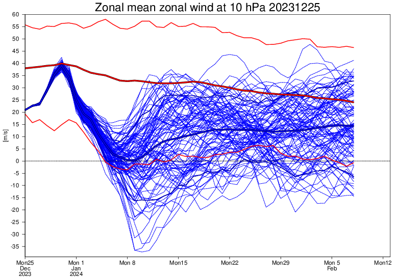
wowee. Mean finally touches zero and there are some crazy members in there.
 7 points
 -
Dropping by to wish all of yall a merry Christmas, I hope you all are surrounded by loved ones, good Christmas spirit and decorations, and good food! Merry Christmas!7 points
-
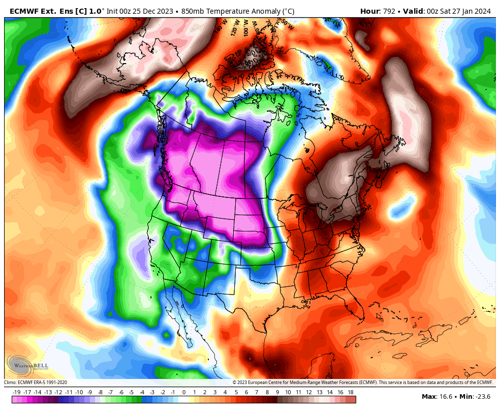
The control on the weeklies got really fun today. This is a 7 day mean for later in January. At least we have some eye candy showing up.6 points
-
500 foot snow levels sound nice.6 points
-
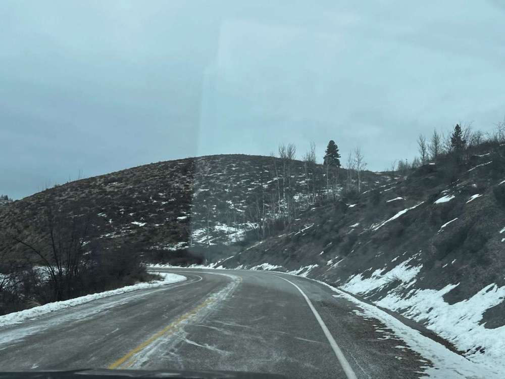
Should be worth getting out the skis at least. Surprised by quality of this run, though it is warmer in B.C. Alaska ridge underwhelming.
 6 points
 -
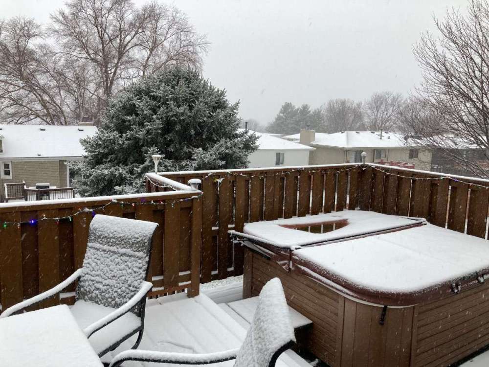
Couple pics from the neighborhood as the storm continues.
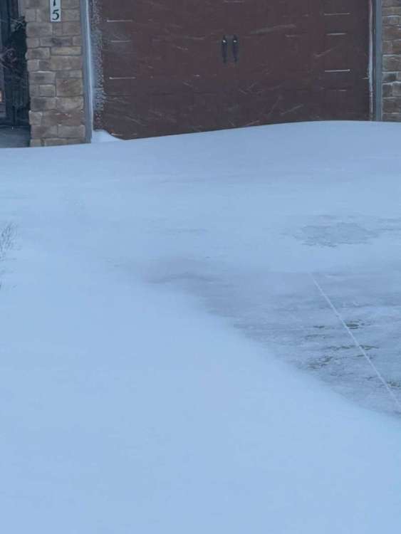
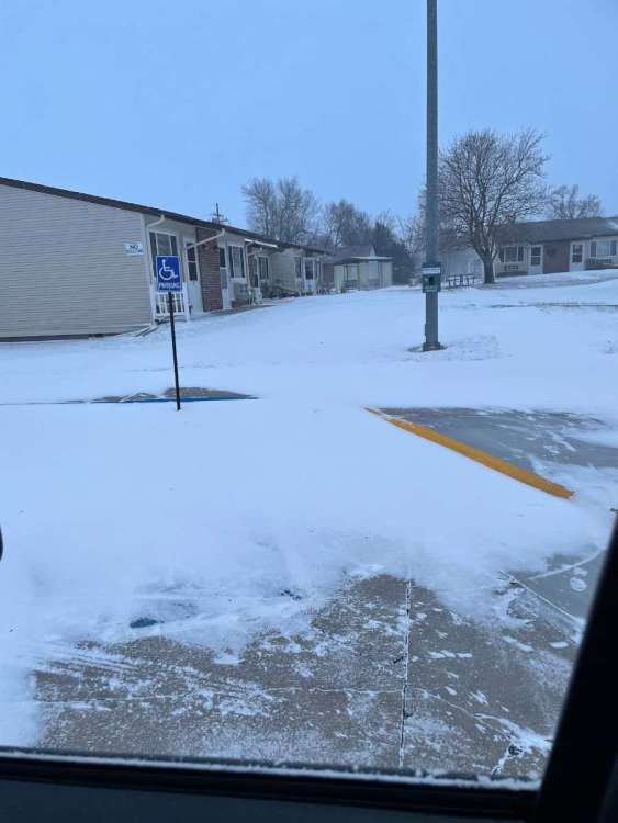

 6 points
 -
Nice druncle run on Christmas at least.
 6 points
 -
6 points
-
Merry Christmas, everybuddy! Hope Santa brought you all the PV splits your hearts desire and a 2024 full of less in the way of human tragedy!6 points
-
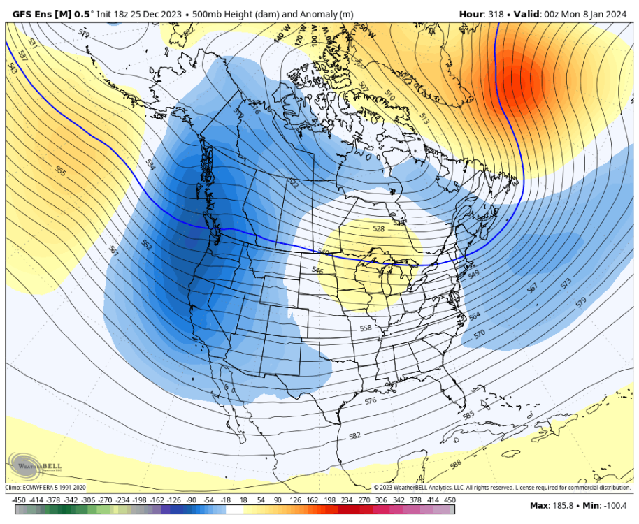
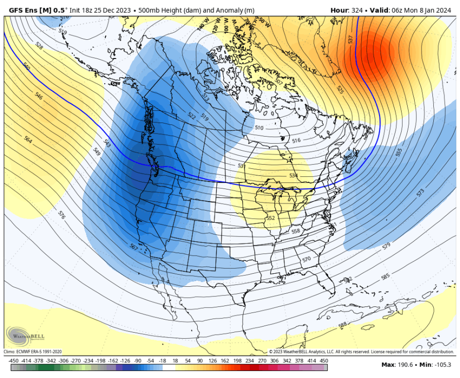
This is the current pattern. This is what the EPS shows in week 2. Not arctic, but not the current pattern either.
 6 points
 -
Merry Christmas everyone!!! I hope your day is bright and full of good cheer!6 points
-
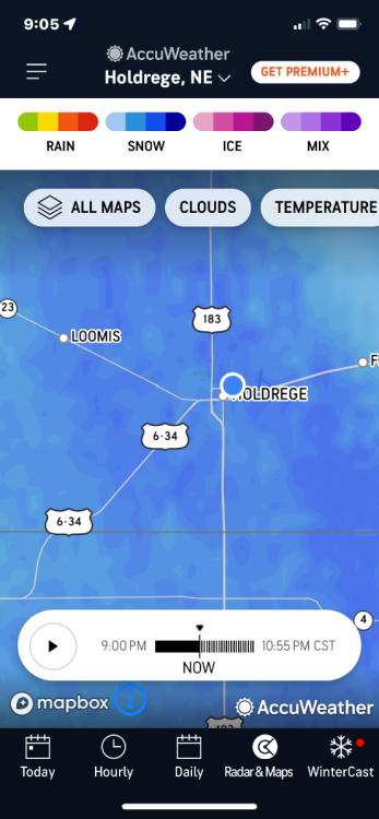
Up before the kids are and we have... Freezing rain with a solid coating on everything. That's not a good sign. Models that had us receiving a couple inches had it starting off as snow and turning to freezing rain this afternoon. Models that had us with very little/nothing started as freezing rain. Surface temp is 28 and the 7AM update showed 925mb temps being - 4c, which is where the snowier models about had it at this time. There must be a very skinny layer of warm air just above the surface. Areas just 20-30 miles to my SW are showing snow on radar under some heavier precip so maybe that could help as precip rates increase across the area. At this point I don't even care about accumulation, just give me some snow falling please! Either way it shakes out though, it's Christmas and it will be an amazing day no matter what! Merry Christmas everyone!!6 points
-
We are getting 1” an hour snow rates the last 2 hours. It is insane. Roads are a complete mess with blowing continuing. Will be interesting to see our final totals by Wednesday.5 points
-
Snowing as hard right now as it has all day. We’ve gotten several more inches this evening. No local reports yet on amounts. I’d think 5-6” so far as of 9pm, but that is a guess. Have quite a bit of drifting around the neighborhood, some that are 2-3’ deep. Several more inches overnight is forecasted. Shouldn’t be much tomorrow, though I’ve seen forecasts of 1-2”, but now they are mentioning freezing rain on top of the snow. Never got those early fantasy amounts that the models showed of 10-15”, but it’s been a solid storm.
 5 points
 -
I gave this a quick read, it seems like the argument is that SO2 from a high latitude volcano can cause one season of extreme cooling in a single hemisphere. The decadal global cooling events were mostly caused by the tropical volcanoes as expected. There just happened to be some cold decades with multiple eruptions within a few years that have muddled the records a bit. I’ve seen a similar thesis before — some have argued that the global warming “hiatus” in the late 2000s-early 2010s was also volcanic induced by a number of small eruptions that occurred around that time. Largely this paper was about trying to get the different proxy records to agree and clearly there is still a ton of debate there over which volcanoes erupted in which year and the cause and effect relationships are largely circumstantial. Still lots to learn about aerosol feedbacks for sure…5 points
-
I ended up getting 1.00" out of this system, over-performing most models. The rain this afternoon/evening was efficient.5 points
-
Wow.. gotta say we are liking the trends!
.thumb.png.f09180f97936e92edc2cfbb96eba44cf.png) 5 points
5 points -
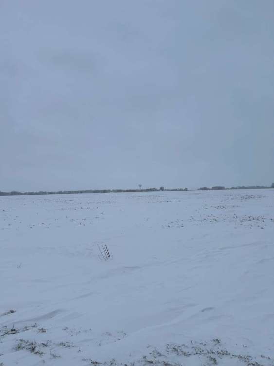
Hills are bare here in Methow Valley… snow has been slow all day. Went from 4 inches to 1.5 expected in the forecast…. Rip the snow…
 5 points
 -
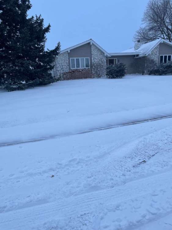
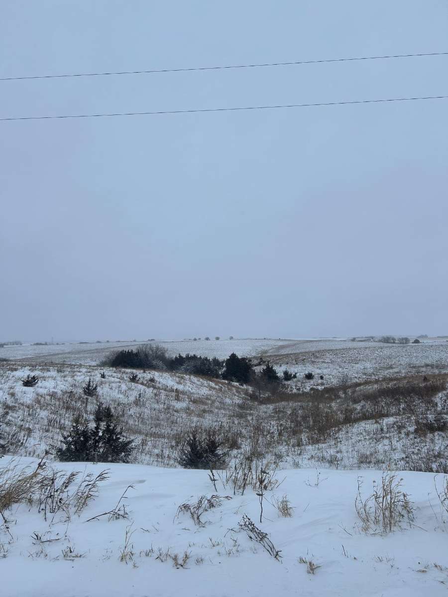
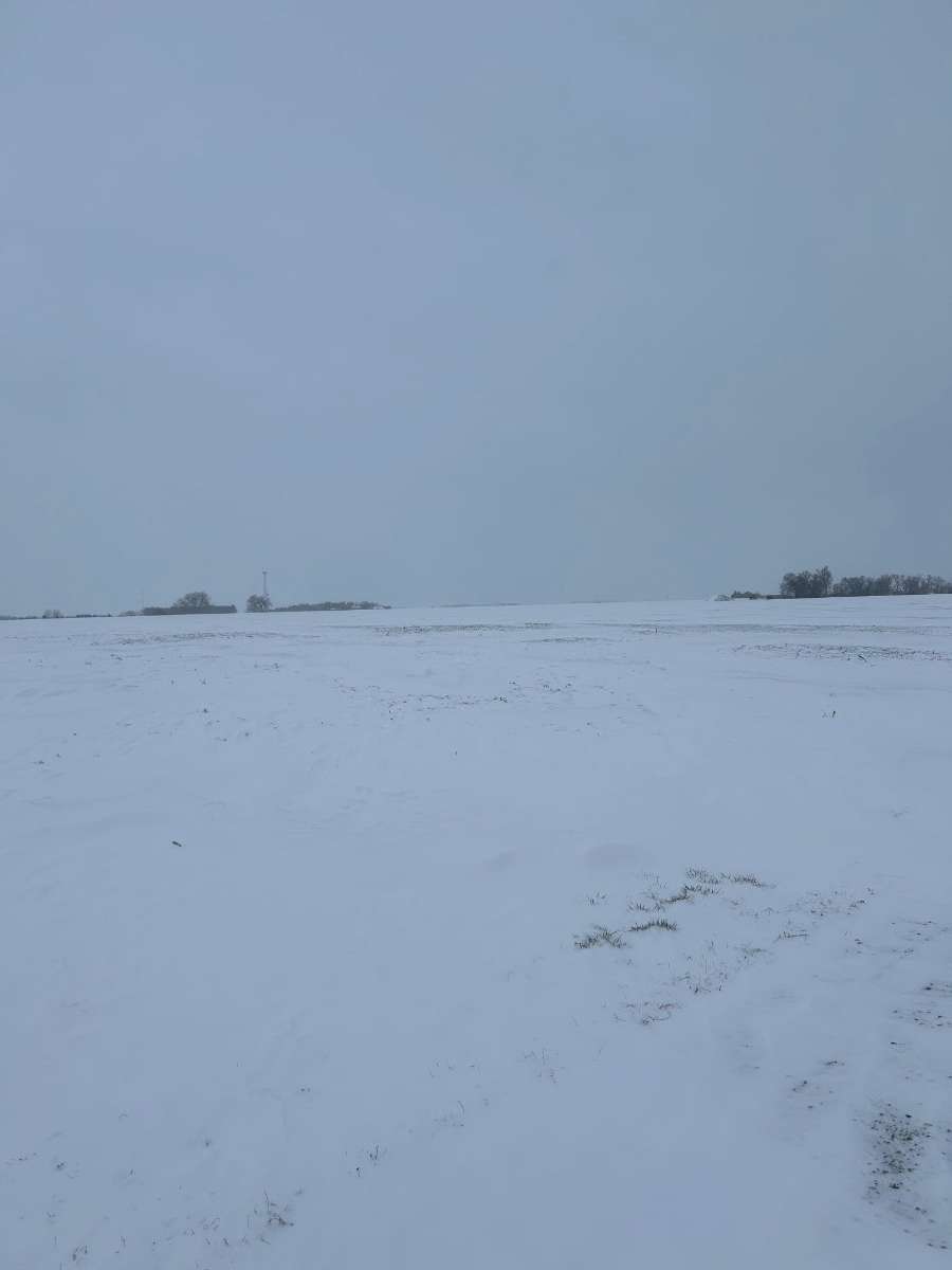
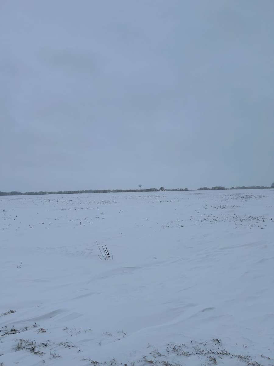
Few picks from David city, snuck out before supper and snapped some pics out in the country. I’m interested in seeing how much we got back in Shelby, 20 miles west of here. We got about 5” here but the way it sounds we got more back home! Overall I’ll take what we got!

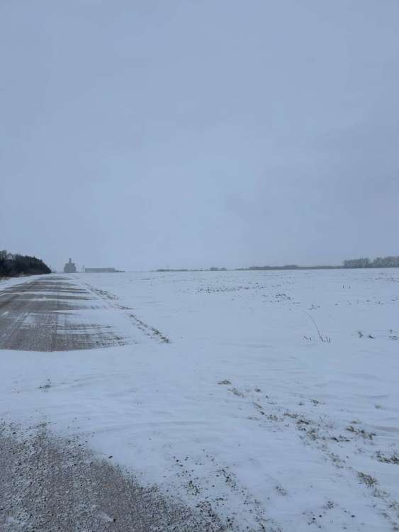
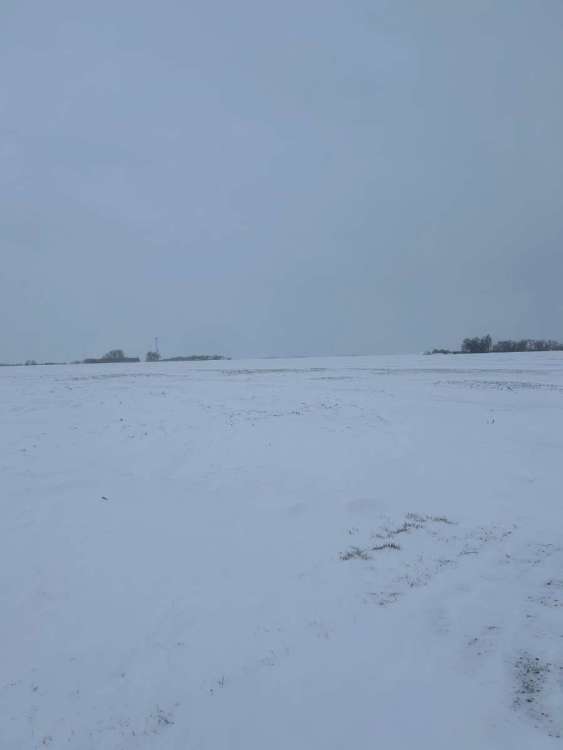
 5 points
 -
Merry Christmas everyone! Hopefully we can get this SSW to work out for us and finally break that January curse!5 points
-
It was a nice xmas day and still not knowing what was going to happen on that first week of January 2017.
 5 points
 -
A Tambora or Krakatoa repeat would really hit the spot for me. Not looking for a mass extinction event (any worse that the nice weather fueled one going on currently at least) but a brief excursion back to a couple 1950s-70s style summers/winters around here would be fun.5 points
-
Merry Christmas and quite possibly a very happy New Year!!
 5 points
 -
Better times are ahead. Merry Christmas everyone!5 points
-
Merry Christmas to all! Relax and enjoy5 points
-
1.0-1.5”, but little drifts of a couple inches. About to ramp up in just a few minutes.5 points
-
Heavy snow about ready to hit here moving from east to west. Still just odd to look at radar doing that. Going to be a fun 2 days. Snow ready blowing down the streets with gusts to 45 mph.5 points
-
Finally changed over to snow/ sleet here about an hour ago… and the ground is starting to get covered with some white gold. The kids are going to be extra excited when they get up as they wanted a White Christmas and it looks like they will get one this year! Merry Christmas everyone!5 points
-
Merry Christmas everyone! Santa was good to me, he delivered 1.3 inches of rain last night. Good luck to everyone that's getting snow.5 points
-
You're in my stomping grounds. White River was always that one school that would cancel for wind, close half way through the day in anticipation for afternoon snow, and try to send out buses during an ice storm.4 points
-
Im just thrilled with these 2 systems back to back. .91" since 4 pm Saturday. 1.93" on the ambient gauge late Thursday.. lol December turning into one of wetter months in 2023. None was heavy, thus no runoff. But many hours of light rain past 4 days.4 points
-
Contrary to popular belief, El Niño cools the system while La Niña warms it. The atmosphere “cools” during La Niña because more heat is being absorbed into the oceans/IPWP, while the atmosphere “warms” during El Niño because heat is being released from the oceans/IPWP. But in the long run, more frequent La Niña will produce warming via heat uptake. This is why 3+ year niñas like 1998-2001 and 2020-23 were followed by global temperature spikes, as some that stored heat (mostly in the IPWP) is released back into the atmosphere. Also why this year is so extreme w/rt global temps, because we’re going straight from 3+ year La Niña to a strong El Niño, which has not happened since at least the mid/late 19th century. It’s also why the Medieval Warm Period was La Niña dominated, and why the Little Ice Age was El Niño dominated. You can also see this tendency in OLWR measurements from CERES, where El Niño years emit more radiation to space, while outgoing radiation is reduced during El Niño years. So technically, those of you rooting for La Niña are rooting for global warming.4 points
-
Snow to the north, south, and west of me but just freezing rain and sleet here all morning. NWS has changed from 2-6 inches to now up to an inch. A little frustrating being so close to higher totals but on the bright side we've gotten enough sleet that it's turned the roads and some of the grass white. It's also blowing around in the air a little so it definitely feels like a winter day. Technically not a "white Christmas" but if you squint your eyes and tilt your head it looks like snow so I guess I'll take it!4 points
-
Ended up with a seasonably chilly 44/34 spread today. The low was set last night at midnight, by 1am or so the fog was gone and the east winds were blowing with temps up around 40. Mostly cloudy this afternoon with some showers at times, staying on the cool side with the east wind continuing. Hope everyone is having a peaceful and happy Christmas Eve out there.4 points


.png.b1285e8b6e961a5a8b6af47dcf89c508.png)


This leaderboard is set to Vancouver/GMT-07:00