
Leaderboard


Popular Content
Showing content with the highest reputation on 12/01/16 in all areas
-
Just in time (I hope). If this falls through I guess I can only blame myself: http://i131.photobucket.com/albums/p286/jemeric/IMG_3677_zpskp9cokr1.jpg6 points
-
I want it to snow as much as any of you, but this is ridiculous. Think about it, there are 3 low pressure systems at play, and we're still way out. Let alone the fact the GFS showed 40" yesterday, are you really trusting it? You guys can't possibly be jumping ship now. Will we all get drilled? Doubt it. But stop living run by run.6 points
-
Watching things unfolding in real-time and not having to solely rely on computer models is awesome. One of my favorite things. I will have this loop running constantly and stare at it to make things happen. I'll make that ridge suppress and block become stronger. I will "will" it to happen, or...... I'll go crazy.......5 points
-
At day 4 (Monday night), Euro has a weak low in nice position just off the N. WA coast.4 points
-
I think this model chaos is the result of a divided, embattled electorate. Progressive and heart warming versus cold hearted and anachronistic. It's gonna be a rough winter and it's only day one.4 points
-
Haha, the 12z ECMWF is a coast to coast icebox in the extended range. Literally no positive anomalies anywhere in the lower 48.4 points
-
Perhaps we need to unplug, then plug back in the GFS for a full reset like the Euro!! https://youtu.be/nn2FB1P_Mn84 points
-
No models have shown the block holding for several days.3 points
-
00z ensembles looking good. Still some room for the airmass next week to get a little colder in the home stretch. Then the ensemble mean near or below average beyond that with some fairly cold members scattered in.3 points
-
I've been at the hospital... home now. 12z ECMWF was the closest run yet to a regional modified blast, and PDX pretty much gets one. Coldest yet Gorge east. I haven't had time to analyze the 12z EURO or 18z GFS in gret detail, but I assume the wonky Kona low and other cut-off low is handed differently. Beyond day 7 ECMWF got close to prolonging the cold.3 points
-
I read all of your posts with the voice of Donald Trump in my head.3 points
-
You must be new here3 points
-
18z looks a touch cooler and juicier with the low on Monday. Nice setup for Seattle north.3 points
-
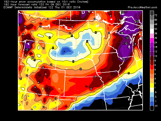
Where are those Euro snowfall maps?3 points
-
Serious snow potential PDX metro on 12z GEM. PDX-DLS -8 to -10mb funneling arctic air westward keeping cold layer real thick over PDX. This could be amazing http://www.tropicaltidbits.com/analysis/models/gem/2016120112/gem_mslp_pcpn_frzn_nwus_27.png http://www.tropicaltidbits.com/analysis/models/gem/2016120112/gem_mslp_pcpn_frzn_nwus_28.png3 points
-
Nice morning on Grouse Mountain today: http://i.imgur.com/XeJPxna.png3 points
-
Day 6 Chilly. Insane east wind potential. Damaging? 1046mb high over The Dalles http://www.tropicaltidbits.com/analysis/models/ecmwf/2016120200/ecmwf_T850_nwus_7.png2 points
-
Run is basically identical to this mornings 12z run through hour 144. 850s bottom out at -9C again at PDX.2 points
-
That's what puzzles me. Nothing has really changed and yet we go through this every night.2 points
-
No presence of the Kona low kicking out energy.2 points
-
Block is most definitely more masculine, meatier and malcontent.2 points
-
Some of us just want to know if it's safe to plant the tomato starts.2 points
-
If I go I'll just be obsessing about what its doing at my house and get absolutely nothing done...,2 points
-
Nice. I'm not used to seeing you this bullish.2 points
-
Block looks stiffer, stouter, and sparklier.2 points
-
Trending toward the MJF and Euro. Probably not a bad sign.2 points
-
Hopefully someone hit ctrl+alt+delete on the GFS and we can get back to reality!2 points
-
http://youtu.be/-kl4hJ4j48s2 points
-
"We are definitely due for some warm, wet weather"- Jesse2 points
-
Your gut needs more European fiber.2 points
-
I am going with whatever model shows more snow!2 points
-
For those who like tracking dates, data, etc..2 points
-
and shove it down a set of stairs...2 points
-
Could be a hood canal special. Perfect set up next week to get buried there.2 points
-
Suffered from a power outage? Probably couldn't handle the epic cold that's set to slam us.2 points
-
With November in the record books with a mean temperature of 45.4° it was the 4th warmest November at Grand Rapids. Last year Grand Rapids reading of 45.5° is in 3rd place. 2001 reading of 46.8° is In 2nd place and 1931 is if 1st place at 47.6°. With 8 clear days and 12 partly cloudy days it also was much sunnier than average as well. As we turn to December a few items of note are 1. The winter of 1931/32 was the warmest winter in Grand Rapids history. Only 41.1” of snow was reported in GR that winter with 25.3” of that falling in a very cold March. The winter of 2001/02 while 105.2” of snow fell that winter most of that fell in the last 2 weeks in December (53.9”) and another 22.6” fell in March and to top it off 2.2” fell in April. But with the warm temperatures in January and February much of the winter had very little snow on the ground (other than the snow piles left from the December snows) and then we had last winter with very little snow in December but close to average the rest of the winter and ended up with 61.1” now what will the winter of 2016/17 be like? While some indicators are hinting at a cold and snowy winter, the past (although small sample) may not support the cold (maybe later in the season towards March) and as for the snow? It could go either way. As always stayed tuned!2 points
-
Pretty funny story this morning. Our local ABC TV Meteorologist out of Kearney NE is really good, (probably too good for our small market and I am afraid he may move to bigger places). He has a daily facebook video that he also posts on Twitter (I am a Twitter junkie). Well he must have people that look at the computer models. He said on TV this morning he is not hiding anything about snow next week, just not seeing enough consistency in the models to jump to any scenario yet. He was adamant that when he knows more he will let everyone know, even said he was sick of the whining. He mentioned this 3 or 4 times on the morning show today. My wife and I were laughing because she hopes I wasn't one of the whiners ( I wasn't by the way).2 points
-
That's what she said.2 points
-
Marginal setup with southerly flow in the valley...I like the optimism. I'm not going to belabour my opinion, it's simply my opinion. Fine if you agree, fine if you don't. Even assuming we get sticking snow you would probably need to halve the 10:1 ratio the WRF snowfall maps utilize...it's going to be pretty wet slop in the 5-7:1 range best case scenario. I will say if you want snow below 1000' Clark County up around Battle Ground might be the best spot.1 point
-
Control+Mean This is through day 8.5. It's also picking up some stuff in my direction in the day 12-14 range but we'll get through this one first.
 1 point
 -
I miss Dj dropping already....1 point
-
Come on over....its gonna be the most wonderful time of the year.1 point
-
sadly that does not look like it is going to hold. Starting to break the block pretty quickly at hour 96... Lets see how it holds up. Fingers crossed as it is not bad.1 point
-
I'd prefer to have it for free!!1 point
-
Thanks for all of the work Tom. I would even suggest winners could donate to a local charity of their choice. ( I know our local food pantry is in desperate need of food items for the winter, as an example). Just my 2 cents.1 point
-
Welcome to meteorological Winter! Could many locals near the Lakes get their first 1" of snow this weekend???1 point
-
2 steps forward 1 step back approach by the GFS to keep us guessing.1 point
-
Well as we all know beggars CAN be choosers!1 point


.thumb.jpeg.e3014abf99ef08a9f9ac2c0cd31b485b.jpeg)


This leaderboard is set to Vancouver/GMT-07:00