
Leaderboard


Popular Content
Showing content with the highest reputation on 10/12/22 in all areas
-
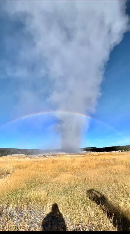
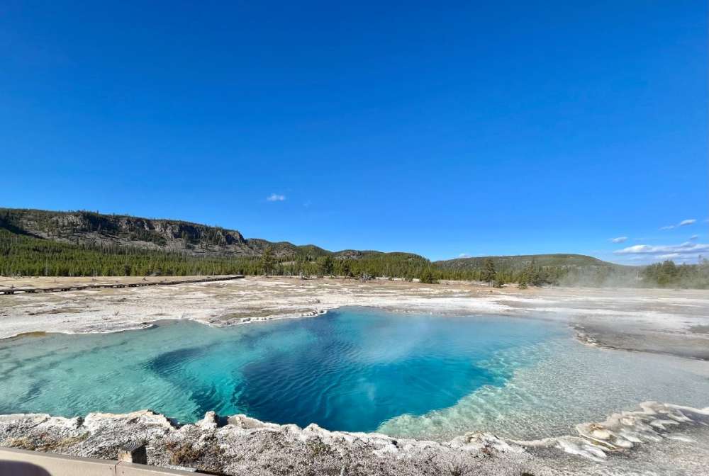
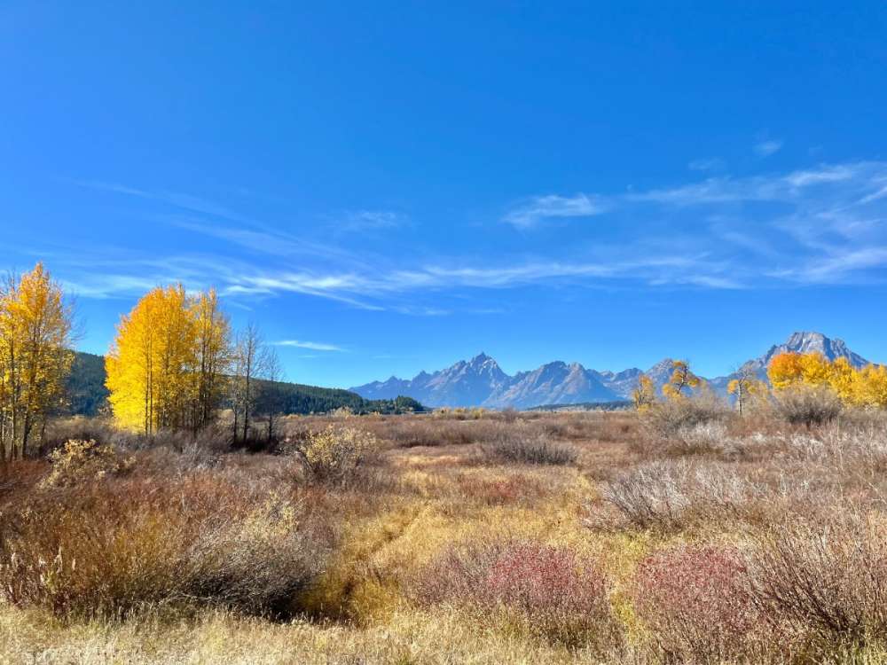
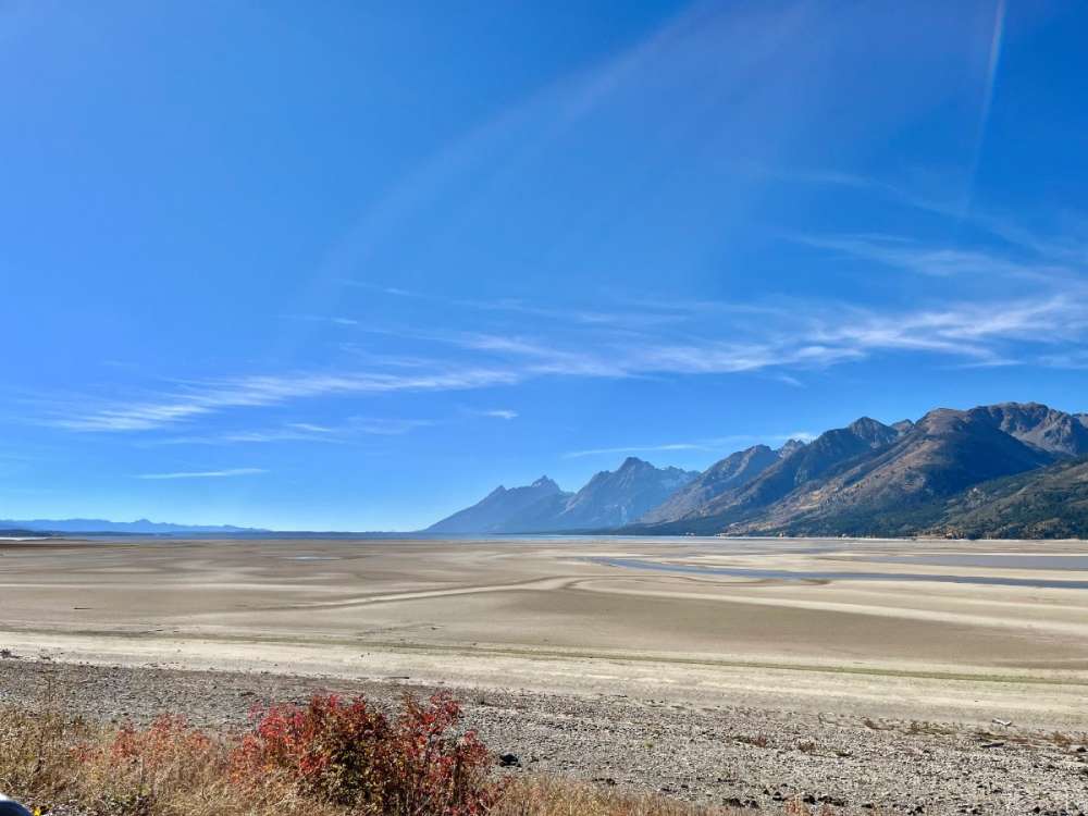
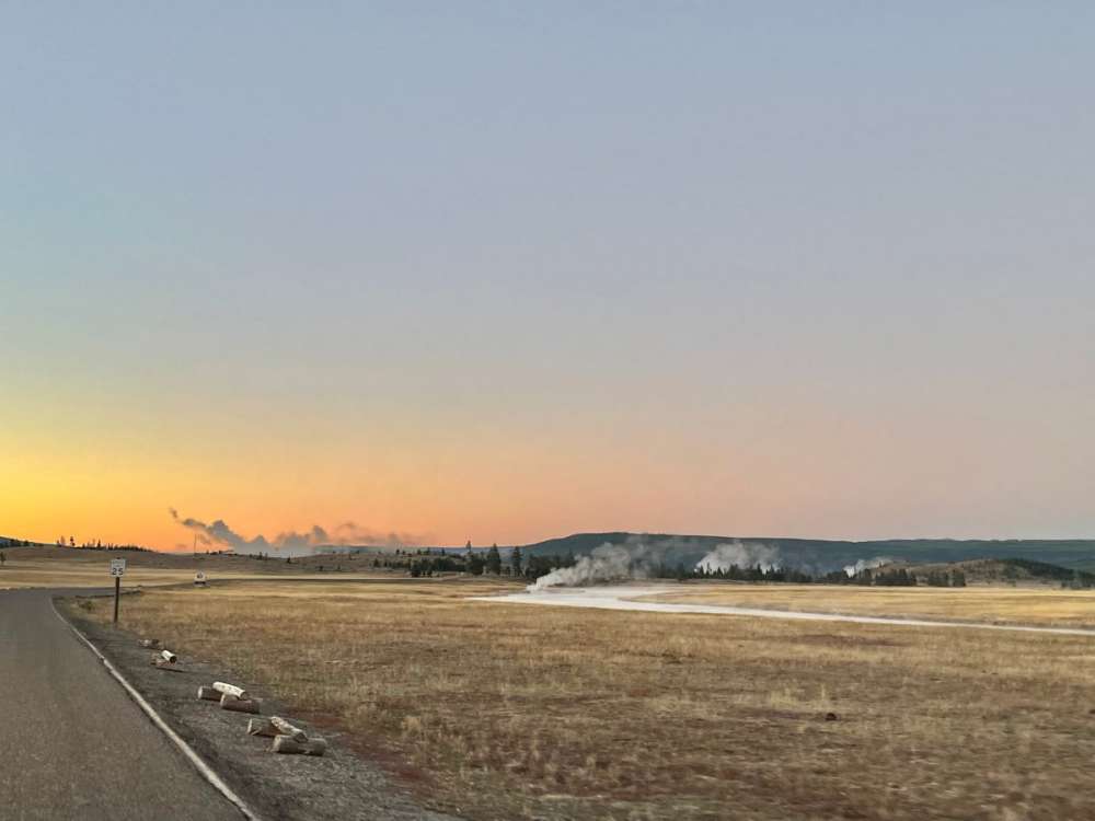
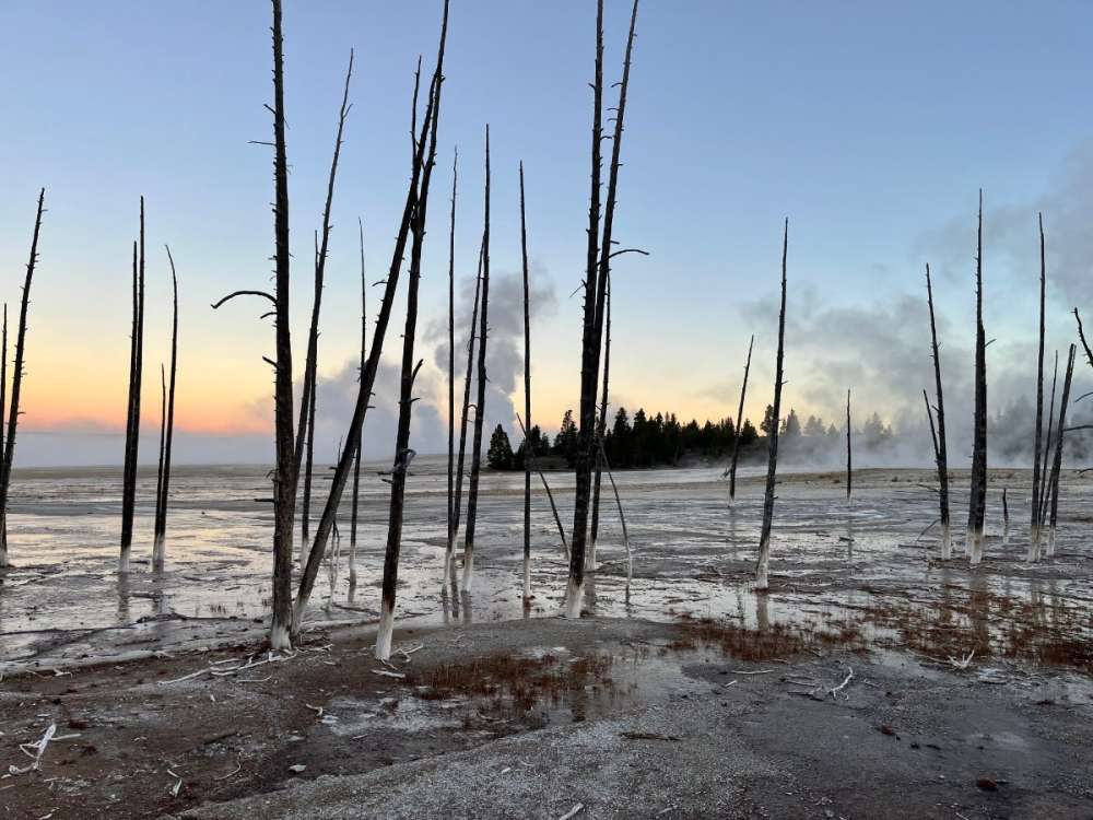
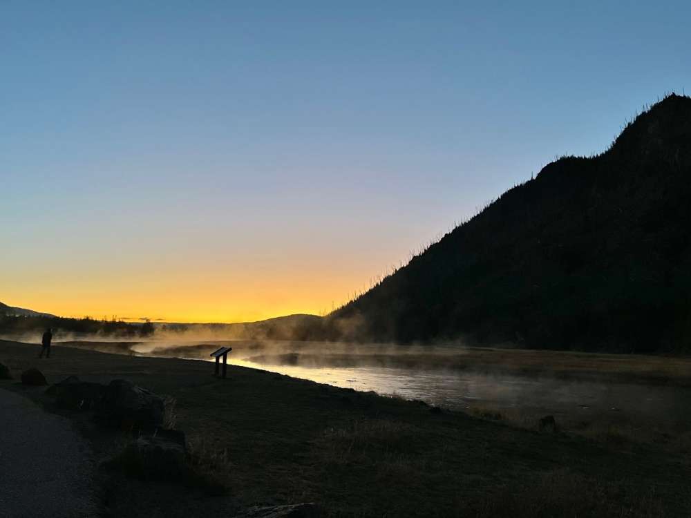
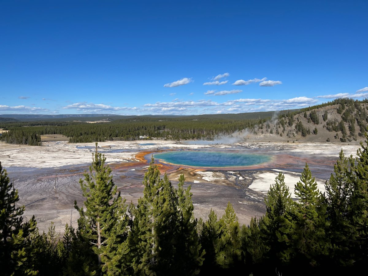
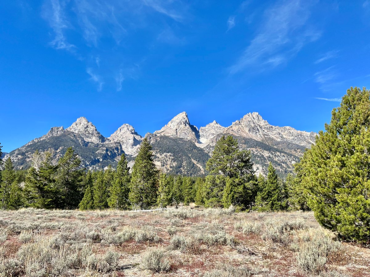
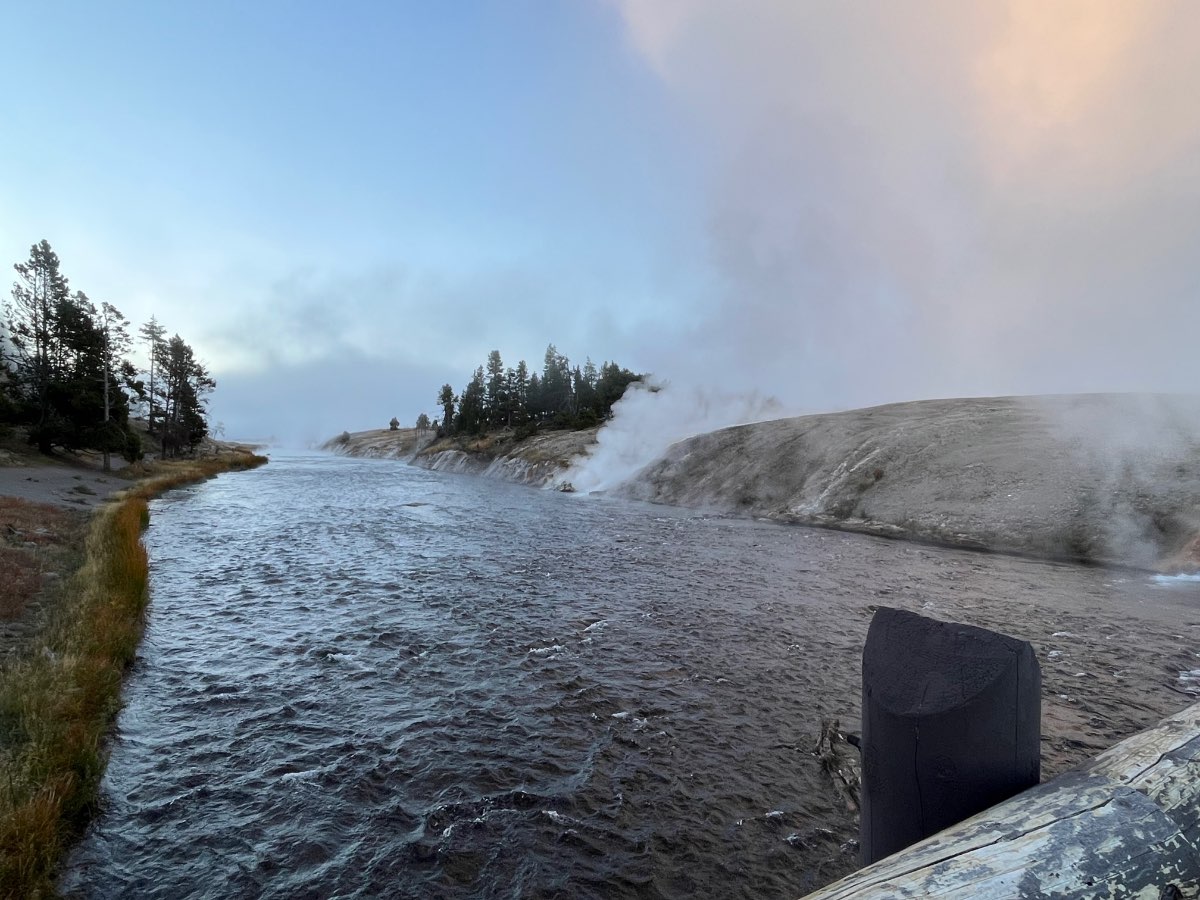
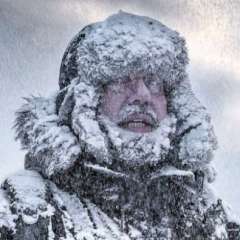
Amazing day over in Yellowstone/Grand Teton. Still got another full day of exploring tomorrow on the north side of the park.


 23 points
 -
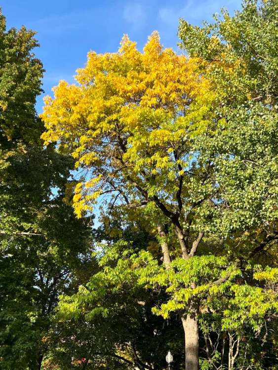
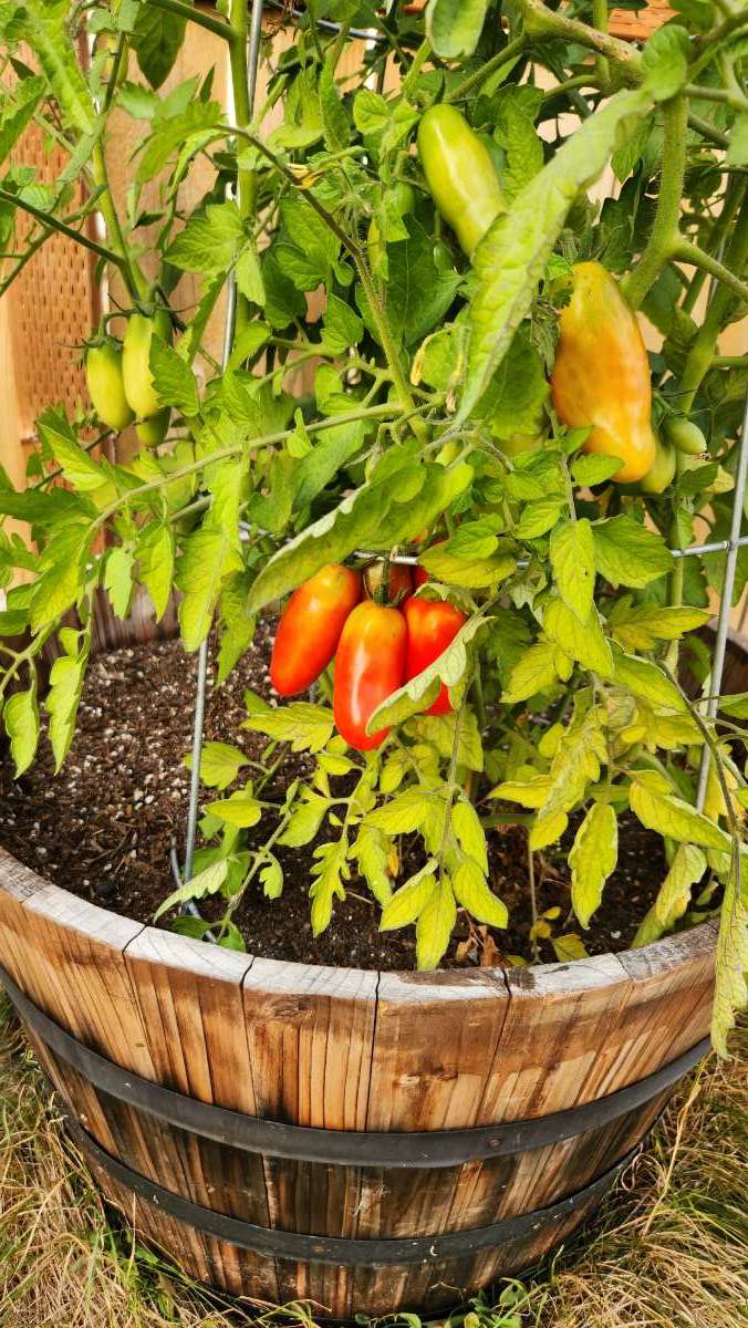
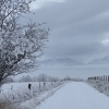
Still looking good!
 13 points
 -
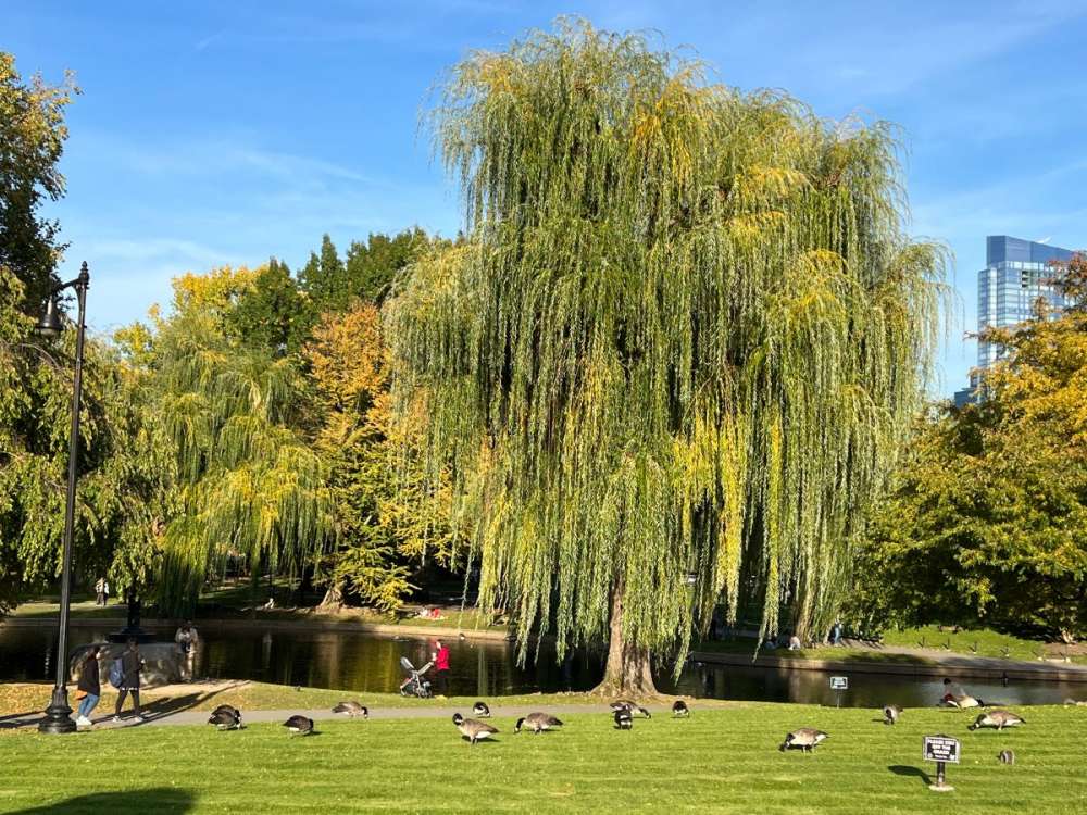
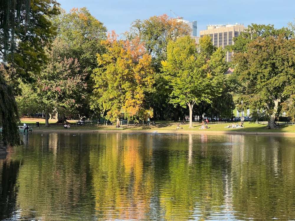
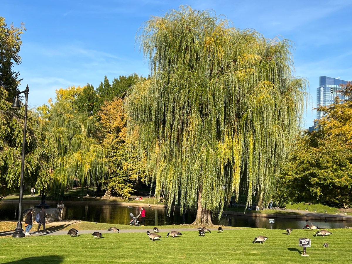
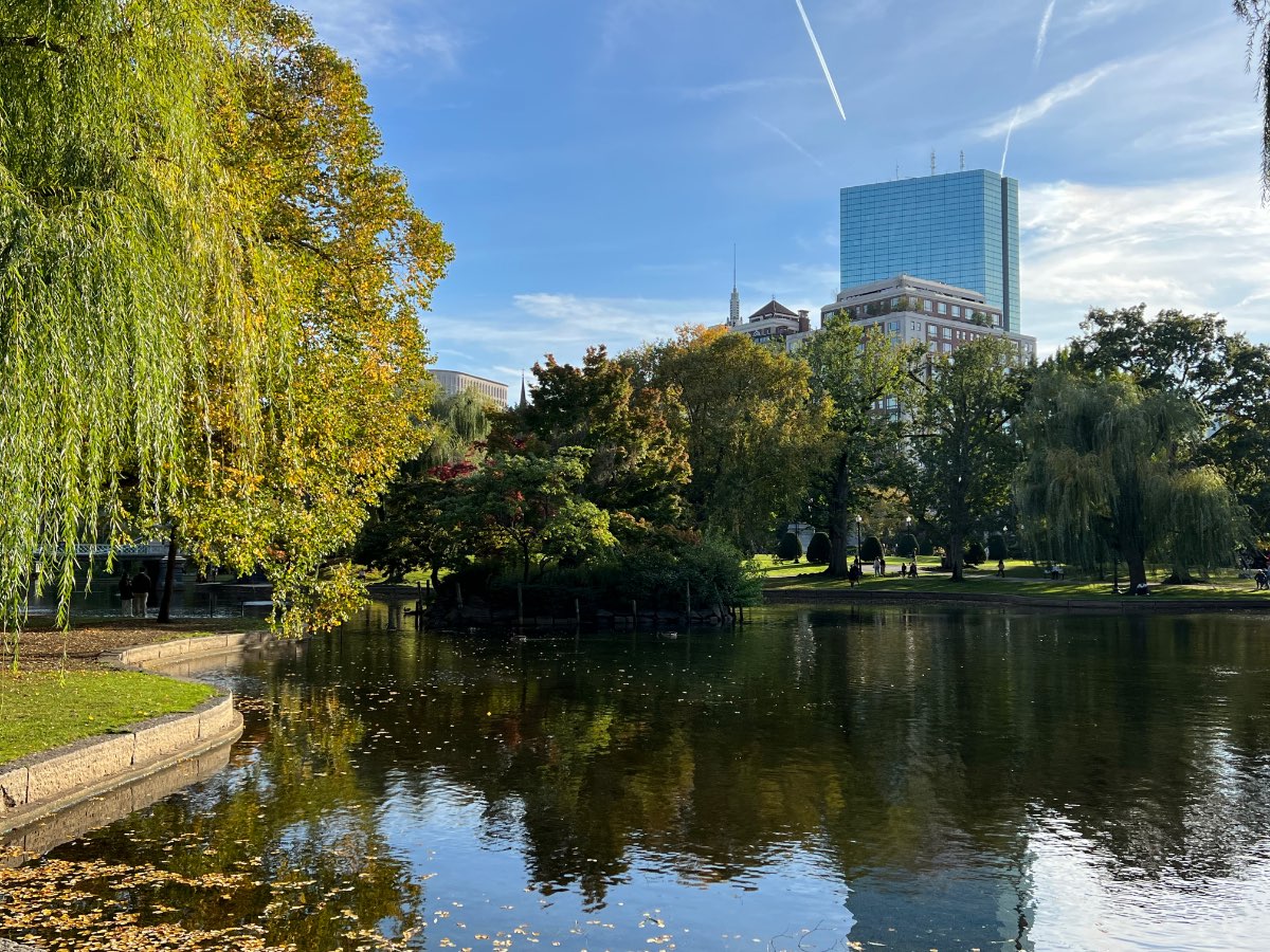
A little bit if fall color here in Boston but still a few days away from really being good. Our office is a couple blocks from Boston Common so it’s been easy to get over here a couple times a day and get some steps in. The park is nice and filled with people enjoying the sunny afternoons.

 10 points
 -
50 degrees for a low so far back home…28 here in west Yellowstone. Getting ready to go in soon probably won’t have service for the most part in the park but I’ll definitely post some wildlife/landscape pics at some point today.10 points
-
Last couple sentences from latest Seattle NWS long term discussion... there are indications that a substantive pattern change is in the offing just beyond the current window of the long term forecast. Models ensembles are nearly unanimous with this idea now. 278 points
-
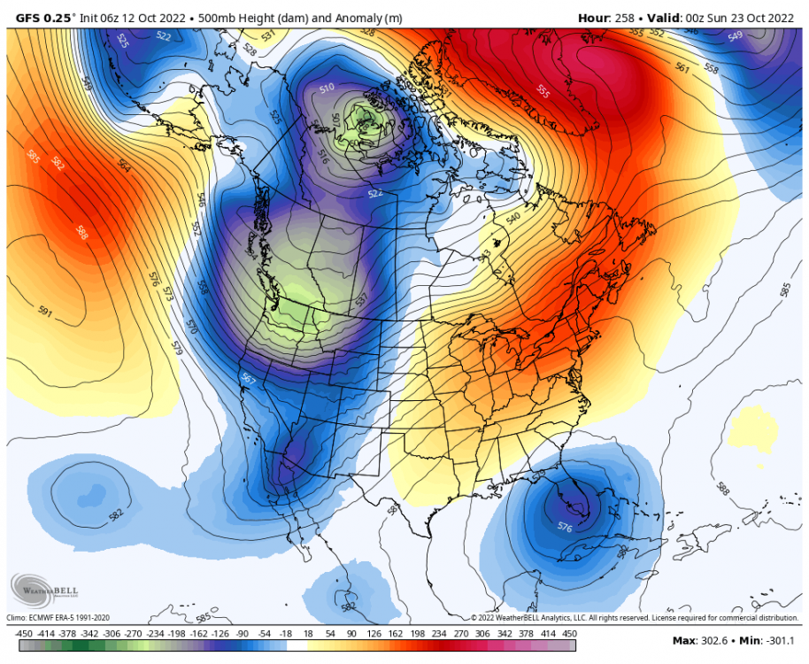
00z GFS in 5 minutes! With the pattern change now sneaking inside Day 10 it seems it is now time to *officially* begin the Fall model riding season. How exciting? Right? We'll see. After the previous months of dry and warm, Summery weather and especially extending well into October this pattern shift is going to feel downright cold and take a bit to acclimate to. We may even see the first Cascade snowfall probably above 4000'. 'Tis the Season! C'MON!!!! Think pattern change! C'MON!!!!7 points
-
7 points
-
Operational on its own with return to ridging. The operational is also much cooler with the initial troughing.
 7 points
 -
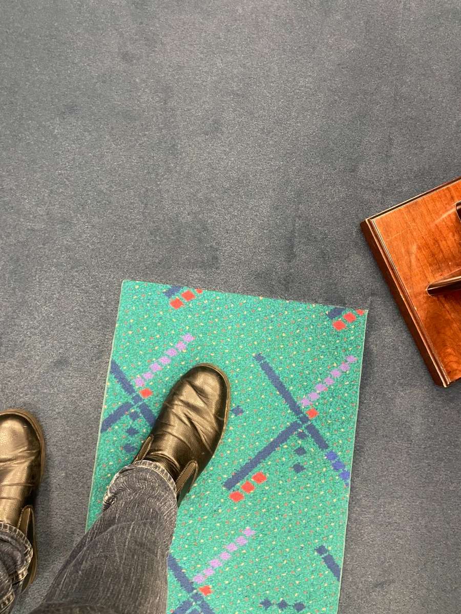
So I took a pic in senator Merkeley’s office...
 6 points
 -
Got down to 41 this morning. I can't take a picture of my feet because my office is too dark, so this picture of me sitting in a chair will have to do.
 6 points
 -
As a wx enthusiast, how do you not get geeked out about this wx pattern??? Nature delivering a text book Greenland Block and a massive cut-off trough spins for days over the Upper MW/GL's region. This is likely to be a signature period for this year's LRC pattern. Gosh, one can only imagine what this could mean DEC-FEB. Let's not forget about what is transpiring near So CAL and the SW region as yet ANOTHER trough is cut-off and tracks into this area. Like I've said before, IMHO this is a huge deal going forward into the colder months as the seasonal jet intensifies. #STJ Finally, there is a pattern break that will come into fruition and bring an end to the West Coast Ridge post 20th. Get ready for an early start to the Snow season in the PAC NW/N CA region as the Sierra MTN's will see their first snows.
 6 points
 -
Tonight at the night shift I'm serving.... *looks around* Well... we have water, some ripe bananas, and a bag of pretzels. Enjoy the night shift.6 points
-
This is going to be a massive pattern change and such a sharp contrast in temperatures from the previous 3 months it's going to take a bit to acclimate to it.6 points
-
I'm not big on analog based forecast but Joe D'Aleo posted this in regards to having 3 consecutive La Ninas. The cold matches up well with the pattern we are having and are forecasted to have the next week or so, the LRC would suggest when this part of the pattern returns in late Nov or Dec artic air will spill into the middle part of the country. I would like to see precipitation analogs with this but he hasn't posted any yet, right now imo it looks VERY dry unless you live around the lakes. The IRI model suite suggests a La Nina this winter. This would be the 3rd successive La Nina. Two prior 3 year La Ninas were the mirror opposite. 1998/99, 1998/2000, 2000/01 ended with a very cold November and December and cold winter. 1973/74, 1974/75, 1975/76 ended with a warmer central and east cold west and Canada. Focusing on La Ninas with warm water NPAC is colder. The preliminary summer based statistical blend is very much like the WB forecast with cold biased central. New inputs are arriving daily - so more to follow. Archived Posts6 points
-
Looks like today was 65/47 in Tacoma. 61/25 here in west Yellowstone doesn’t get much better than that.5 points
-
Had my first hailstorm of the year! Wasn't very big it looks like the northwestern parts of town could have had bigger stones. 1/2" size here. Some good lightning and booms too.5 points
-
Sorry to hear that Phil, you guys are in my thoughts, and if it is her time, I hope that it is quick and peaceful. Life is definitely not something to take for granted. My wife's family is going through a difficult time as well, their ranch manager (worked for the family 30-40 years) lost his son in a car accident over the weekend. The only solace is that it sounds like he was killed instantly. I never met the son, but I know the ranch manager pretty well from our trips out there. Very typical Montana cowboy in his late 50's-early 60s: Lots of groans and creaks when he stands up from too many hours in the saddle and a few too many rodeos, but he will give you the shirt off his back if you need it. He is always the first to respond when another rancher in the valley puts out a call for help.5 points
-
Fast moving line of storms blew through KC with some 50mph winds. It should be in mby soon and deliver about a 1/2 inch of rainfall.5 points
-
5 points
-
I'm surprised why anyone still takes the GFS Op, or any Op run so seriously after Day 6-7 if it's not looking great. We're not rookies here. Why do this to yourselves year after year. All ensembles have been superb and timing has moved ahead too. I see no reason why the 00z GEFS won't show the major pattern shift.4 points
-
I have a bit of an off topic thing here. The last few days I've heard pickleball mentioned a number of times so I looked into what all the hoopla is about. The first thing that caught my eye is it was invented in Bainbridge Island in 1965. Now for some reason it is exploding worldwide nearly 60 years later! Talk about slow to catch on. Really odd. For those who didn't know it is now the state sport in WA.4 points
-
Not sure if it has been mentioned, but EUG hit 39.4 points
-
Really lucked out with this system. most models showed us getting nothing yesterday, but a line blew up right over my backyard and most areas in marion and CR have .75" with more knocking on the door. I'm only at .35" but ill take it.4 points
-
picked up .65 inches of rain. Cold front pushing through. Next Monday/Tuesday look really interesting for temps4 points
-
Had about 0.25" last night as the cold front came through. We have been really lucky around here to get rains in the last month that many in the state have missed. My grass is still green and lush as I mowed it yesterday. Leaves are really turning and falling fast. The winds of the next few days will bring many down. Looks like several nights of frost or freeze conditions coming up early next week according to NWS Hastings. The lowest we have gotten so far is 34 degrees. Many north and east of here have already had a frost or freeze last weekend.4 points
-
@Andie A heavy rainfall event is possible for most of Central and Southern Texas in the next 5-8 Days. Some locations could have up to 3-5 inches locally. Northern Texas is currently likely to get 1-3 inches of rain.4 points
-
If the last several months have taught me anything it’s to expect the worst, most extreme, statistically unlikely case scenario when it comes to continued heat and dryness around here. I don’t expect whatever happens later this month to buck this trend.3 points
-
More often than not PDX doesn't even make it to the 80s in October. Crazy to think that we might get to a dozen this October.3 points
-
Low of 37 at CVO this morning. How did I miss this.3 points
-
I was there a week later in October last year and it looks like they're definitely further along right now.3 points
-
You may have picked the best week of the year to visit. Literally perfect weather.3 points
-
These little disturbances ahead of the main trough look like theyre whats causing the uncertainty at that time. GFS knows there is something around at that time but doesnt think its legit.
.thumb.gif.9128b221bba36bec0d0bb03ecf407bbe.gif) 3 points
3 points -
In Clown range with a capital C.3 points
-
North WA Cascades get over 100" of snow in some places in this run3 points
-
94 today. Likely our last high day for a good while. Sunday we should get thunderstorms and 79* Much needed. Some rivers bone dry. I was outside abit today and the heat and pain meds I have to be on right now made me ill. Really ready to get this nonsense over with. Most of our temps after Sunday will be in the 70’s/high 60’s. A really nice change. Fall !!3 points
-
3 points
-
A line of storms popped in the area early this morning. The far southeast part of the city got an inch of rain. The far nw barely got wet. I got 0.23". It was nice to hear thunder and rain on the roof again. Models are bone dry again for the next 1-2 weeks.3 points
-
I understand about the criteria. I don’t have historical 500mb anomaly maps to use though. By the time the ridge is kicked out of here late next week, in the past 4 months we will have had: 83 out of the last 88 days warmer than normal, the hottest week ever, the hottest month ever, the hottest September ever, the hottest October ever, the most anomalously warm month ever (maybe), the driest astronomical summer ever, the longest 70+ streak ever, the longest 50+ streak ever, and <.50’’ of precipitation. This spring was not even remotely close to being the cool/wet equivalent of this summer and early autumn. The warmth this month alone is so many standard deviations from normal that the cold equivalent is unimaginable.3 points
-
Starting to see signs of hope.3 points
-
Hope so.10 named storms is still well below average/in the “quiet” camp, which statistically favors a colder winter out here.3 points
-
I'm gonna hit the hay. Ensemble should be interesting.3 points
-
Close to the beautiful horseshoe "ridge bridge bitch" setup that delivers the goodies in the winter on the overnight GFS.3 points
-
GFS starting to lock on to a hard freeze on it's last two runs. Agreeing with the Euro and CMC. Would be end of growing season ( if not all ready happened) for many reading.3 points
-
They’re calling for 92 tomorrow but next Wednesday may see a High of 70! 40% chance of thunderstorms this Sunday. Rain, at last. Talk about a dry Fall ! Maybe we’ll get lucky.3 points


.png.473e1fbb32da42257af300d1d3635eaf.png)


.gif.fba9f273715c8d69c29be2ed7beef1ea.gif)


This leaderboard is set to Vancouver/GMT-07:00