
January 2017 Observations and Model Discussion for the Pacific Northwest

-
Who's Online 20 Members, 1 Anonymous, 44 Guests (See full list)
-
Popular Contributors
-
1

-
2
-
3

-
4

-
5
-
-
Activity Stream
-
577
-
577
May 2024 Pacific Northwest Weather
Back in the late 70s while I was in high school and I couple of years after that I worked for a dealer's only auto auction and then for an independent wholesaler. You are right, it is a seedy subculture. The Gypsies were the something else. On the upside though, for being a young car nut what a great job. I was able to drive just about anything you could imagine from classic bugs, muscle cars, even a couple of Rolls.- 1
-

-
5
May 6-9 Multi Day Severe Weather Outbreak
I am aware, tomorrow might go High, as NWS-Norman mentioned it's "Not out of the question" -
771
Middle East Conflict of 2023-2024
It's interesting how trauma from the Holocaust manifests itself. Some would say that imitation is the most sincere form of flattery. Wouldn't you agree, my hate-filled genocidal troll? -
577
May 2024 Pacific Northwest Weather
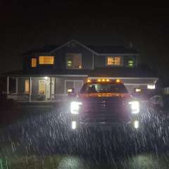
It’s wayyyyy more common than a lot of people think. And most people won’t pick up on the wear and tear items like the pedals and such that are inconsistent with the mileage. We did a few theft by deception cases back in the day (when our climate was noticeably cooler) and you end up exposed to what was a massive subculture, particularly when it comes to the Gypsies. The early digital odometers were actually the easiest to tamper with apparently. Also… IT SNOWED A WEEK BEFORE THAT PHOTO WAS TAKEN!- 2
-

-
-


Recommended Posts
Join the conversation
You can post now and register later. If you have an account, sign in now to post with your account.