
October 2022 PNW weather Discussion. + Ultimate Leg Reveal Extravaganza

-
Who's Online 23 Members, 0 Anonymous, 149 Guests (See full list)
-
Popular Contributors
-
1

-
2
-
3

-
4

-
5

-
-
Activity Stream
-
1669
May 2024 Pacific Northwest Weather
Lets go with the GFS through next weekend. -
1669
May 2024 Pacific Northwest Weather
Hint of onshore flow here on that map, too. I don’t think it’ll be as warm as advertised. That said, only a matter of time before that gulf heat blob takes over the country. Satan is coming. -
1669
May 2024 Pacific Northwest Weather
12Z GFS is just lovely for the upcoming week. Overall trend in the models (even the ECMWF suite) is now less digging. -
-
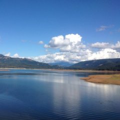
1669
May 2024 Pacific Northwest Weather
Fell asleep so I missed it but this is how it looked down here.- 2
-

-


Recommended Posts
Posted by SouthHillFrosty,
Congrats Frosty!!!
Recommended by Meatyorologist
35 reactions
Go to this post
Posted by T-Town,
Incredible tornado footage.
Recommended by Meatyorologist
13 reactions
Go to this post
Join the conversation
You can post now and register later. If you have an account, sign in now to post with your account.